
Monthly Archives: May 2015
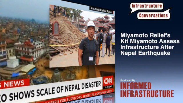
Miyamoto Relief’s Kit Miyamoto Assesses Infrastructure After Nepal Earthquake
0 Views0 Comments0 Likes
Kit Miyamoto, the CEO of Miyamoto International and nonprofit Miyamoto Relief, reports from Khatmandu, Nepal, where he has been assessing the earthquake's damage to local infrastructure.
5_21 Climate Broadcast (Antarctic Ice Shelf, ArcGIS Release and More)
0 Views0 Comments0 Likes
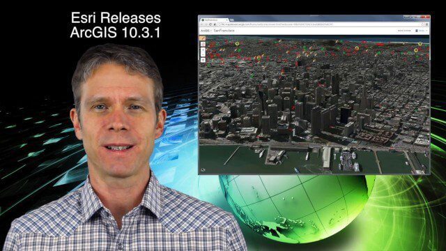
This GeoSpatial Stream broadcast discusses a NASA study on the shrinking Antarctica Larsen B Ice Shelf; Esri's new release of ArcGIS and its improvements and updates; industry news from Blue Marble Geographics, Boundless and BlackBridge; Nepal relief work geared toward rebuilding the area; Nepal earthquake data from RADARSAT-2; and more.
5_14 Infrastructure Broadcast (Nepal Update, 3-D Mapping and More)
0 Views0 Comments0 Likes
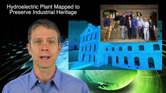
This Infrastructure-based GeoSpatial Stream broadcast provides an update from the latest earthquake in Nepal as well as related maps from Caltech and JPL concerning the area's geology and effects; 3-D mapping of an industrial heritage site in Japan; industry news from Trimble, Leica Geosystems and IMAGINiT; Nepal relief work geared toward rebuilding the area; and more.

Airbus Defence and Space Launches WorldDEM DTM
0 Views0 Comments0 Likes
Airbus Defence and Space released its global elevation model that was captured by the twin TerraSAR-X and TanDEM-X radar satellites in 2014 and now is producing Digital Terrain Models based on this dataset. The 12-meter-resolution pole-to-pole elevation data are a major improvement upon the commonly used 30-meter USGS SRTM data. Earth Imaging Journal spoke with Gertrud Riegler, WorldDEM Product Manager, Airbus Defence and Space, at the International Space Symposium about this new dataset and its many uses.

Airbus Defence and Space Brings Laser Communications to Earth Observation
0 Views0 Comments0 Likes
Earth Imaging Journal spoke with Jörg Herrmann, head of business development for the EDRS SpaceDataHighway Programme at Airbus Defence and Space, at the recent International Space Symposium. This laser-based data-relay system provides high-speed, near-real-time data transfer for Low Earth Orbit (LEO) satellites and airborne (unmanned/manned) platforms (UAS).
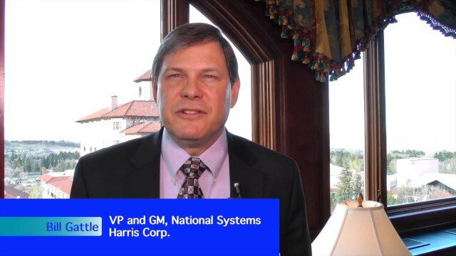
Harris Tracks and Responds to Earth Observing Transformations
0 Views0 Comments0 Likes
Earth Imaging Journal spoke with Bill Gattle, vice president and general manager of national systems at Harris, with responsibility for space and intel business (commercial and government) as well as geospatial, imagery and Earth-observing technologies. We spoke about sensing, processing and providing actionable information to the marketplace. The accessibility of space, commercialization of sensors and high-powered analytics is transforming the market and expanding the applications and insights.
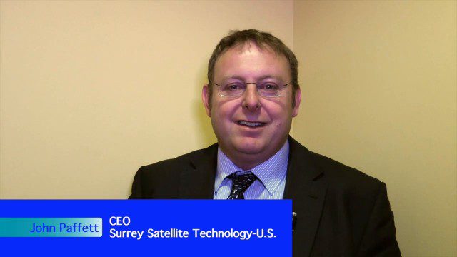
Improving the Economics of Space through Greater Access
0 Views0 Comments0 Likes
Surrey Satellite Technology U.S. (SST-US) is an offshoot of the UK-based company that has now begun manufacturing satellites in its Denver-based offices to more efficiently address the U.S. market. Earth Imaging Journal spoke with John Paffett, CEO of Surrey Satellite U.S., about its continued mission to change the economics of space. Their recent development of the FeatherCraft platform, alongside partners NanoRacks and Aerojet Rocketdyne, takes advantage of the ease of deploying satellites from the International Space Station, adding propellant to increase the utility and life expectancy of a 100-kilogram-class satellite platform.

5_28 Asia-Pacific Broadcast (Dinosaurs, Chinese LiDAR and More)
0 Views0 Comments0 Likes
This Asia-Pacific GeoSpatial Stream broadcast discusses project in Australia to digitally document dinosaur tracks via imaging technology; the Indian Seismic and GNSS Network, which passed the "test" of the Nepal earthquake; industry news from AAM Sky Geospatial Solutions and Takor Group; an interview clip from the Riegl LiDAR 2015 User Conference in China; a preview of the HxGN Live conference in Las Vegas; and more.
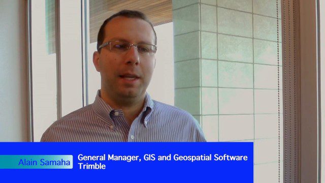
Trimble Expands Hardware and Software Integration, Focus on Solutions
0 Views0 Comments0 Likes
Trimble announced an expanded portfolio of geospatial solutions for surveyors, engineers and GIS professionals. V1 Media spoke with Alain Samaha, Business Area Director for Trimble's Geospatial Software Solutions and GIS businesses, about these solutions, the ability to automate and add efficiency, and other trends that are impacting data collection.
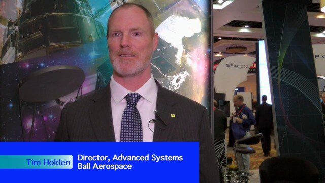
Ball Aerospace Delivers Science-Driven Sensors
0 Views0 Comments0 Likes
Ball Aerospace is a unique entity that delivers imaging instruments as well as full satellites, bringing scientists and engineers together to optimize sensor and spacecraft design. Earth Imaging Journal spoke with Tim Holden, director of advanced systems at Ball Aerospace, about sensor development, the commercialization of space and opportunities in remote sensing with increased temporal revisits.


