
Monthly Archives: April 2015

SpaceCurve Introduces Spatial at the Speed of Reality
0 Views0 Comments0 Likes
GeoSpatial Stream's Todd Danielson conducted an Internet Interview with SpaceCurve's CEO Dane Coyer and Founder Andrew Rogers. They spoke about the company's inception, Big Data, spatial indexing and business applications as well as how SpaceCurve created new technologies to integrate these varied components.

Tom Fisher Witnesses Complete Evolution of Geodesign Summit
0 Views0 Comments0 Likes
Tom Fisher, Dean of the College of Design at the University of Minnesota, emceed and moderated the 2015 Geodesign Summit, and he as attended every summit since its inception. On behalf of V1 Media, Informed Infrastructure and GeoSpatial Stream, Todd Danielson interviewed Fisher at the Geodesign Summit 2015 in Redlands, Calif.
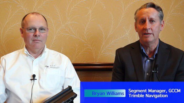
Trimble Announces Partnership with DotProduct
0 Views0 Comments0 Likes
Bryan Williams, Segment Manager, GCCM, Trimble Navigation, joined Tom Greaves, Chief Marketing Officer, DotProduct, to discuss a recent partnership between the two companies. In an interview with V1 Media's Todd Danielson at SPAR International, which was held March 30-April 2, 2015, in Houston, Texas, they discussed DotProduct and its products as well as how they fit into Trimble's plans. Williams also discusses vertical construction and additional new Trimble technologies.
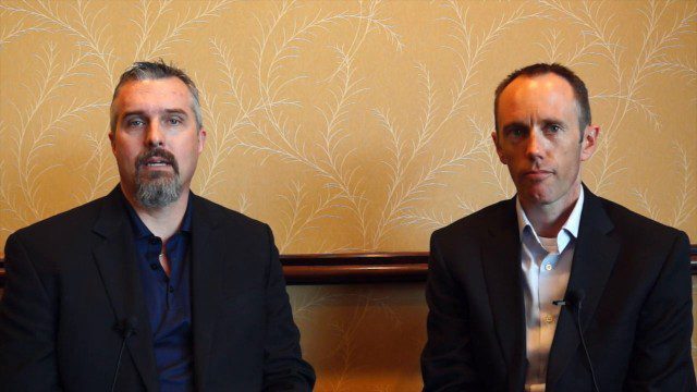
Trimble Discusses Hardware and Software Innovation
0 Views0 Comments0 Likes
Trimble's Todd Steiner, Product Marketing Director, Imaging, and Tim Lemmon, Product Marketing Director, Geospatial Office Software, spoke with V1 Media's Todd Danielson at SPAR International, which was held March 30-April 2, 2015, in Houston, Texas. They discussed new hardware and software products, smartphones' future accuracy, the differences in platform-neutral conferences, UAV applications and more.
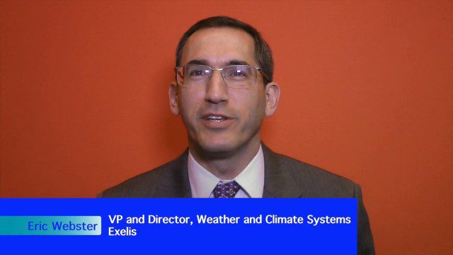
Weather-Observation Gap Over Middle East Causes Consternation
0 Views0 Comments0 Likes
Exelis makes the majority of the weather and climate instruments for the U.S. government as well as Japan and Korea, including those that monitor greenhouse gases. Earth Imaging Journal spoke with Eric Webster, vice president and director for weather and climate systems at Exelis. His team has been working with the U.S. Air Force to study weather capabilities over Centcom (the Middle East and the Indian Ocean) that have been provided by a European weather satellite. The other weather instruments are owned by Russia and China, so there’s some concern about the source of this sensing going forward.


