
Monthly Archives: April 2015
SpaceCurve Introduces Spatial at the Speed of Reality
0 Views0 Comments0 Likes
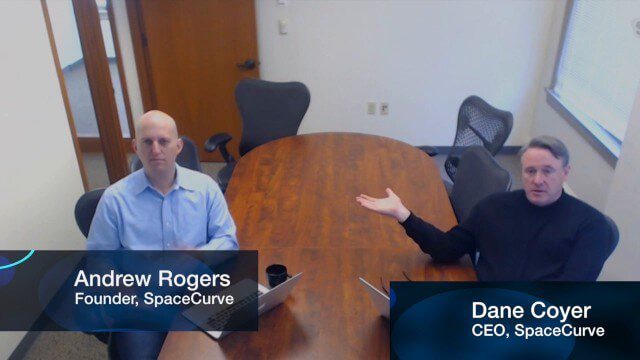
GeoSpatial Stream's Todd Danielson conducted an Internet Interview with SpaceCurve's CEO Dane Coyer and Founder Andrew Rogers. They spoke about the company's inception, Big Data, spatial indexing and business applications as well as how SpaceCurve created new technologies to integrate these varied components.
Bentley’s Ron Gant Discusses Roads and Recent Acquisitions
0 Views0 Comments0 Likes
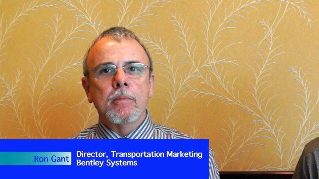
Ron Gant is the Director of Transportation Marketing at Bentley Systems, and he spoke with V1 Media's Todd Danielson at SPAR International, which was held March 30-April 2, 2015, in Houston, Texas. They discussed the transportation industry and Bentley's role there, asset management, Bentley's acquisition of Acute3D, the value of hosting an event in Houston, and more.
DigitalGlobe’s Seeing a Better World Program Focuses on Outcomes
0 Views0 Comments0 Likes
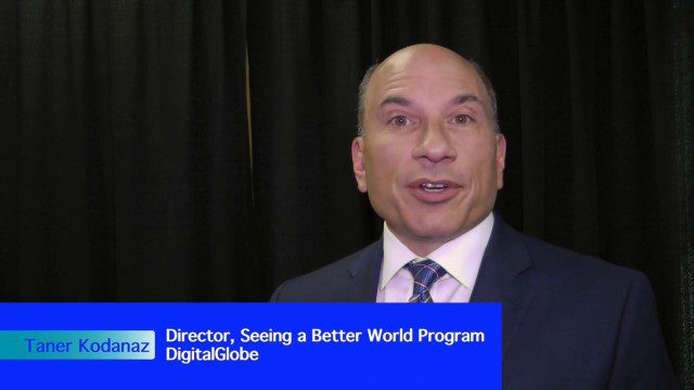
DigitalGlobe has expanded upon its theme of "Seeing a Better World," with a new program that focuses on themes aligned to the United Nations sustainable development objectives. Speaking with V1 Media, Taner Kodanaz, Director of DigitalGlobe's Seeing a Better World Program, describes how the company is leveraging its own imagery to provide greater context and outcome-oriented solutions around food and nutrition security, infrastructure development, sustainability, and human rights.

4_30 Earthquake Broadcast (Nepal Mapping, Drone Video and More)
0 Views0 Comments0 Likes
This GeoSpatial Stream broadcast focuses entirely on the Nepal earthquake of April 25, 2015, that killed more than 5,000 people. News and video cover the scope of the destruction; how governments and relief organizations are helping through mapping; industry aid from Esri, DigitalGlobe and Airbus Defence & Space; an article on how Nepal was mapped in 48 hours; a video of the Mt. Everest avalanche; and more.
Esri’s Donny Sosa Talks UAVs and Photogrammetry
0 Views0 Comments0 Likes
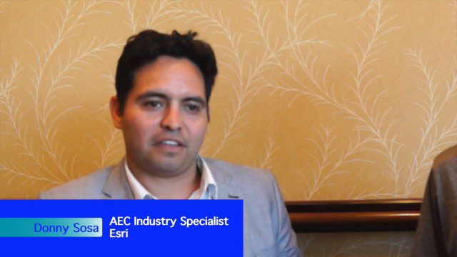
Donny Sosa is an AEC Industry Specialist with Esri, and he spoke with V1 Media's Todd Danielson at SPAR International, which was held March 30-April 2, 2015, in Houston, Texas. They discussed UAVs and their proliferation, the pros and cons of UAV use, industry trends, product testing with Pix4D and more.


