
Monthly Archives: April 2015
2015 Audubon Medal Awardees: Jack and Laura Dangermond
0 Views0 Comments0 Likes
Jack and Laura Dangermond launched Environmental Systems Research Institute (Esri) in 1969 with a vision of how maps and geographic sciences could promote deeper understanding of our world and enable us to design a better future. The Dangermonds have since donated more than a billion dollars in geo-spatial, analytical, and visualization technology to research institutions, schools, and nonprofit organizations, equipping these groups with the same GIS tools that drive the strategies of Fortune 500 companies.

4_16 Drones/UAS Broadcast (Earth Day, Mysterious Methane and More)
0 Views0 Comments0 Likes
This GeoSpatial Stream broadcast discusses important FAA practices impacting drone/UAS use; an article that digs deeper into the many possible consequences of FAA's actions; a mysterious methane hotspot in the U.S. Four Corners area; industry news from Hexagon, Airbus Defence and Space, and SimActive; Earth Day; and more.
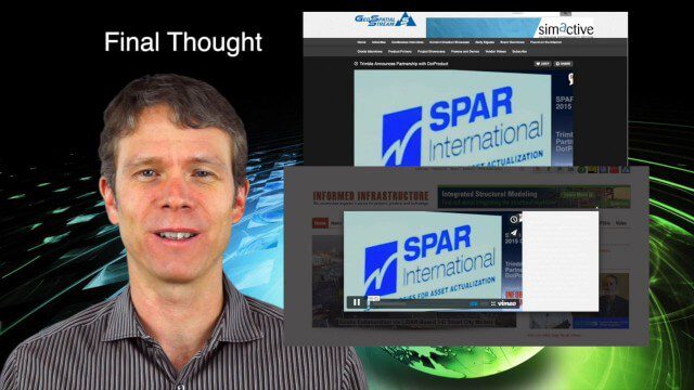
4_23 Infrastructure Broadcast (Transportation, AASHTO and More)
0 Views0 Comments0 Likes
This Infrastructure-themed GeoSpatial Stream broadcast highlights an Earth Day video from the American Association of State Highway and Transportation Officials (AASHTO); news on infrastructure from the United States, Canada and Saudi Arabia; industry news from Topcon Positioning Group, Esri and Autodesk; a clip from an infrastructure-related interview at SPAR International; and more.

4_30 Earthquake Broadcast (Nepal Mapping, Drone Video and More)
0 Views0 Comments0 Likes
This GeoSpatial Stream broadcast focuses entirely on the Nepal earthquake of April 25, 2015, that killed more than 5,000 people. News and video cover the scope of the destruction; how governments and relief organizations are helping through mapping; industry aid from Esri, DigitalGlobe and Airbus Defence & Space; an article on how Nepal was mapped in 48 hours; a video of the Mt. Everest avalanche; and more.
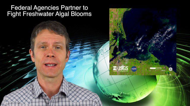
4_9 Earth Imaging Broadcast (3-D Data Capture, Drones and More)
0 Views0 Comments0 Likes
This GeoSpatial Stream broadcast discusses highlights from the recent SPAR International 3D measurement and imaging conference in Houston; federal agency partnerships to monitor and prevent dangerous algal blooms; a technology partnership to improve the efficiency of snow-grooming machines; industry news from Esri and rapidlasso; an impressive drone video; and more.
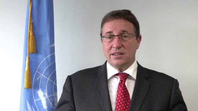
Achim Steiner – Eye on Earth Summit 2015
0 Views0 Comments0 Likes
Over 650 delegates from government, UN bodies, the non-governmental sector, private sector, academia and civil society will gather in Abu Dhabi between 6 and 8 October for the Eye on Earth Summit 2015. Learn more here: www.eoesummit.org
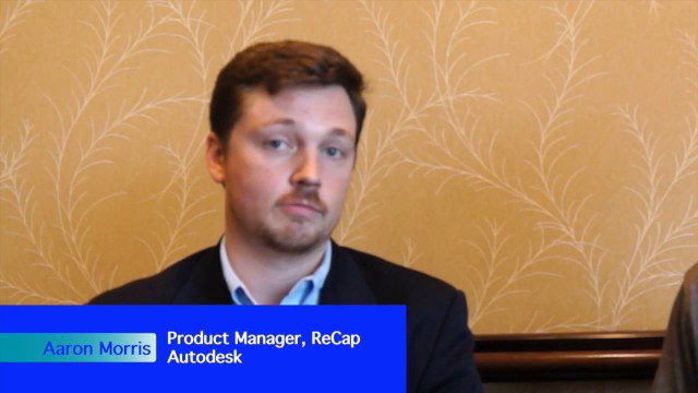
Autodesk’s Aaron Morris Discusses Reality Computing
0 Views0 Comments0 Likes
Aaron Morris is the ReCap Product Manager at Autodesk, and he spoke with V1 Media's Todd Danielson at SPAR International, which was held March 30-April 2, 2015, in Houston, Texas. They discussed spatial sensor data, reality computing, Autodesk product developments and enhancements, UAV applications and more.
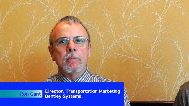
Bentley’s Ron Gant Discusses Roads and Recent Acquisitions
0 Views0 Comments0 Likes
Ron Gant is the Director of Transportation Marketing at Bentley Systems, and he spoke with V1 Media's Todd Danielson at SPAR International, which was held March 30-April 2, 2015, in Houston, Texas. They discussed the transportation industry and Bentley's role there, asset management, Bentley's acquisition of Acute3D, the value of hosting an event in Houston, and more.
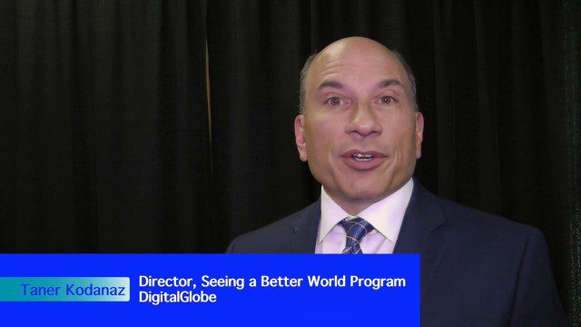
DigitalGlobe’s Seeing a Better World Program Focuses on Outcomes
0 Views0 Comments0 Likes
DigitalGlobe has expanded upon its theme of "Seeing a Better World," with a new program that focuses on themes aligned to the United Nations sustainable development objectives. Speaking with V1 Media, Taner Kodanaz, Director of DigitalGlobe's Seeing a Better World Program, describes how the company is leveraging its own imagery to provide greater context and outcome-oriented solutions around food and nutrition security, infrastructure development, sustainability, and human rights.
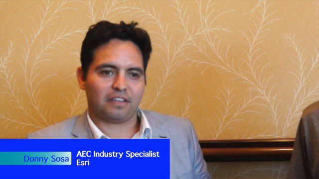
Esri’s Donny Sosa Talks UAVs and Photogrammetry
0 Views0 Comments0 Likes
Donny Sosa is an AEC Industry Specialist with Esri, and he spoke with V1 Media's Todd Danielson at SPAR International, which was held March 30-April 2, 2015, in Houston, Texas. They discussed UAVs and their proliferation, the pros and cons of UAV use, industry trends, product testing with Pix4D and more.


