
Browse Archives
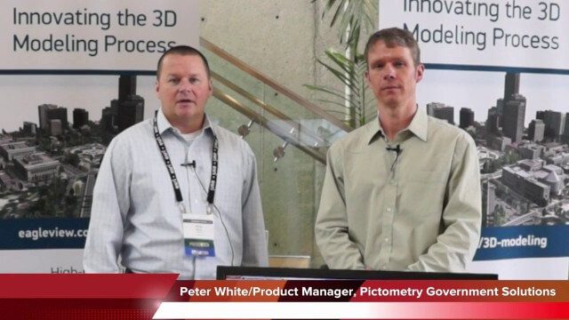
Pictometry/EagleView Interview at GeoDesign Summit
3.20K Views0 Comments0 Likes
Todd Danielson interviews Peter White, product manager and business analyst for Pictometry. They discuss how oblique imagery can help create better 3-D models as well as the future possibilities of a potential company acquisition.

Richard Humphrey Autodesk Interview (Short Version)
4.19K Views0 Comments0 Likes
In this condensed version, Todd Danielson interviews Richard Humphrey, senior director, Infrastructure Products, Autodesk. They discuss how technology can help "bridge the gaps" in infrastructure spending, simulation services, and large-scale modeling.

Roger Tomlinson Tribute (Excerpt)
2.60K Views0 Comments0 Likes

600 km Above Earth’s Surface with HD Video (Skybox Imaging)
5.74K Views0 Comments0 Likes

ReROLL Game Using Geotech
1.76K Views0 Comments0 Likes
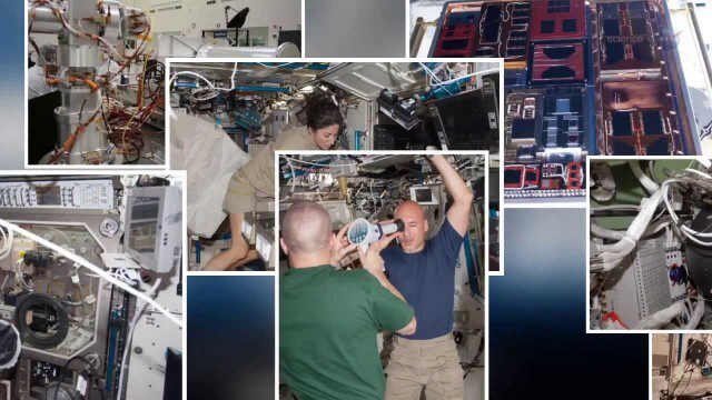
International Space Station Gets a Ten-Year Extension
2.49K Views0 Comments0 Likes
Satellites help spot whales
3.74K Views0 Comments0 Likes
2_18 Asia-Pacific Broadcast (China’s Ecological Infrastructure, TeLEOS-1 Satellite, Alibaba Mapping Offer and More)
6.50K Views0 Comments0 Likes
This Asia-Pacific-focused GeoSpatial Stream broadcast discusses Kongjian Yu's efforts in China's ecological infrastructure; the TeLEOS-1 Earth-imaging satellite; the Geological Survey of India; Alibaba's offer for AutoNavi; the "other" Great Wall of China mapping; Skybox Imaging in Australasia; and more.

Richard Humphrey Interview (Full-Length Version)
4.34K Views0 Comments0 Likes
Todd Danielson interviews Richard Humphrey, senior director, Infrastructure & Collaboration Products, Autodesk. They discuss how technology can help "bridge the gaps" in infrastructure spending, the Autodesk infrastructure product suite, simulation services, information unification, rules-based design platforms, large-scale modeling, and Autodesk's ReCap product.
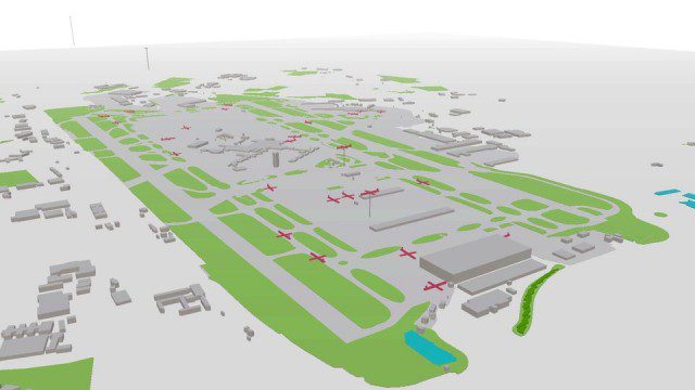
Live Planes in ViziCities using Plane Finder
3.17K Views0 Comments0 Likes


