
Browse Archives
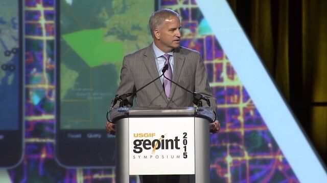
Robert Cardillo, NGA Director – Keynote Full Presentation | GEOINT 2015
0 Views0 Comments0 Likes
USGIF's Trajectory On Location published this video of the keynote presentation delivered by Robert Cardillo, director of the National Geospatial-Intelligence Agency, at the GEOINT Symposium 2015.

7_23 Infrastructure Broadcast (AEC Market Reports, Smart Cities and More)
0 Views0 Comments0 Likes
This Infrastructure-themed GeoSpatial Stream broadcast discusses an optimistic AEC market report; a $16 billion commitment from the state of Washington for transportation improvements; a new LADOT public Web map for smart communities; laser scanning in Mexico; industry news from SmarterBetterCities, Topcon Positioning Group and PaveXpress; thoughts on seeing Informed Infrastructure in action in Chicago; and more.
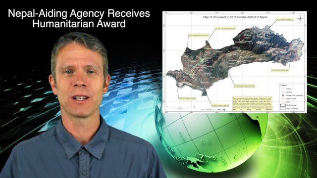
7_30 Spatial Broadcast (Esri UC Highlights, NASA News and More)
0 Views0 Comments0 Likes
This GeoSpatial Stream broadcast discusses highlights from the Esri User Conference; NASA news from the Kepler mission and a near-Earth-sized planet as well as satellite data noting plankton's effects on clouds and climate; industry news from SAP, Esri, Nepal and LizardTech; thoughts on the Kepler mission and the possibilities of life beyond Earth; and more.
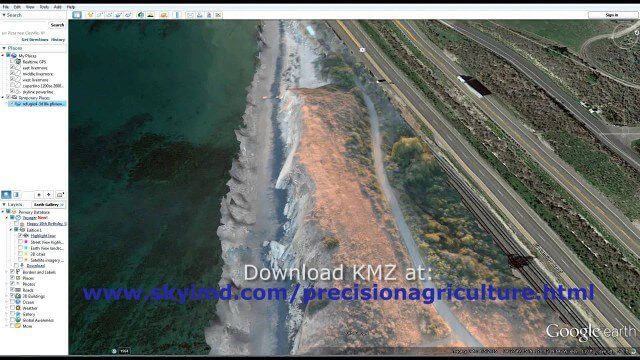
Santa Barbara Refugio Oil Spill in 3D Using Canon Camera
0 Views0 Comments0 Likes
Santa Barbara Refugio Beach Oil Spill, May 20-21, 2015. While flying precision agriculture grapes Sky Imaging Mapping Data diverted to Santa Barbara. On arrival the entire area was imaged from 12-1500 feet above the ocean. Post flight the imagery was processed into 3D models and overlaid on Google Earth for easy browsing (waves look jagged).
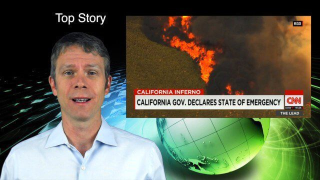
8_6 Wildfire Broadcast (Updates from California and Alaska, NASA and UN News, and More)
0 Views0 Comments0 Likes
This GeoSpatial Stream broadcast discusses the wildfires raging in California, the Pacific Northwest and especially Alaska; a NASA program to inventory Earth's surface waters; the Geovation startup hub; industry news from Esri, URISA and VisionMap; a UN video on the power of geospatial technology; and more.

RIEGL Creating 3D Data for Improved Disaster Response
0 Views0 Comments0 Likes
The V1 Video team interviewed James Van Rens, CEO of RIEGL USA, at the 2015 Esri User Conference in San Diego. We spoke at the 3D Mapping Forum, focusing on the need to map the shoreline for improved disaster response. The company also showcased its new RiCOPTER mapping drone.
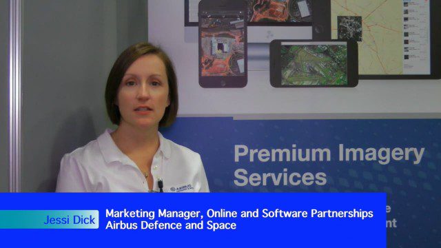
Airbus Defense and Space Dealing with Big Data Management and Delivery Issues
0 Views0 Comments0 Likes
The V1 Video team interviewed Jessi Dick, Senior Marketing Manager of Online and Software Partnerships at Airbus Defence and Space, at the 2015 Esri User Conference in San Diego. We spoke about the growing volumes of data and the company’s tools managing data via portals, systems, streaming services and custom solutions.

Pictometry Developing 3D Models for Infrastructure Market
0 Views0 Comments0 Likes
The V1 Video team interviewed Jim Murray, Regional VP for Infrastructure at Pictometry (an EagleView company), at the 2015 Esri User Conference in San Diego. We spoke about the unique characteristics of high-resolution oblique imagery from Pictometry and an emerging ability to create detailed 3D models with oblique imagery data draped on buildings for a photorealistic model.
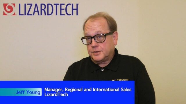
LizardTech Combining LiDAR Point Cloud and Image Compression
0 Views0 Comments0 Likes
The V1 Video team interviewed Jeff Young, Manager of Regional and International Sales for LizardTech, at the 2015 Esri User Conference in San Diego. The company launched the 9.5 release of its GeoExpress software, which combines image and LiDAR compression technology. The latest tools add automation for color balancing and indexing images.

Commercial UAV Expo Video
0 Views0 Comments0 Likes
This video promotes the upcoming Commercial UAV Expo being held in Las Vegas in October 2015.


