
Browse Archives
Greg Bentley Discusses Reality Modeling Worldwide
0 Views0 Comments0 Likes
The V1 Video team interviewed Greg Bentley, CEO of Bentley Systems, at the 2016 SPAR 3D Expo and Conference, held April 11-14 in The Woodlands, Texas. In Part II, he discusses how reality modeling is being applied in several locations across the world, the impacts such modeling is having in expanding the user base beyond engineering and how reality modeling can provide substantial return on investment.
Greg Bentley Talks Reality Modeling and the Future of 3D Tech
0 Views0 Comments0 Likes
The V1 Video team interviewed Greg Bentley, CEO of Bentley Systems, at the 2016 SPAR 3D Expo and Conference, held April 11-14 in The Woodlands, Texas. In Part I, he provides his insight into reality modeling, the differences between a reality mesh and a point cloud, new tools for improved engineering and the future of 3D technology.
4_14 Earth Day Broadcast (Conservation, El Niño and More)
0 Views0 Comments0 Likes
This GeoSpatial Stream broadcast discusses the upcoming Earth Day on April 22nd and the many events that look to increase awareness of the environment and the technologies that can be used to protect it; a new mobile game called "Save the Park" that introduces children to national parks and environmental stewardship; the effect of El Niño events on marine plant life; industry news from AGI, Esri, Maptiks, East View Geospatial and PCI Geomatics; a video about the history of Earth Day and its impacts; and more.
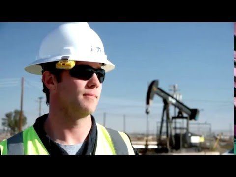
Unmanned Flights Take to San Joaquin Valley Skies
0 Views0 Comments0 Likes
In the San Joaquin Valley, Chevron launched unmanned aerial systems above its Coalinga Field to capture high-resolution and thermal imagery as part of a pilot project to incorporate the technology in its day-to-day field operations.
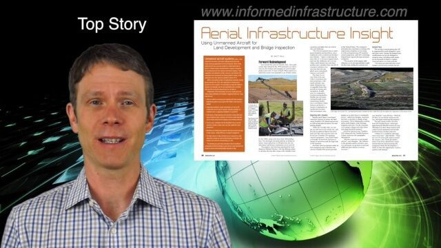
4_7 Infrastructure Broadcast (Drones, Funding and More)
0 Views0 Comments0 Likes
This Infrastructure-themed GeoSpatial Stream broadcast discusses how drone/UAS/UAV technology is being adopted in infrastructure projects worldwide; state transportation funding; the development of transparent wood; industry news from CINTEC, Trimble, IMAGINiT, SmarterBetterCities and Siteco; a video from the Construction Climate Talks series; and more.
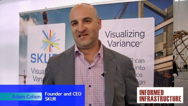
SKUR Helps Engineers Visualize Variance
0 Views0 Comments0 Likes
The V1 Video team interviewed Adam Cohen, Founder and CEO of SKUR, at the REAL 2016 event in San Francisco. He discussed what SKUR does and how it can help engineers visualize variance, what DIFF means and its importance, and key utilizations of SKUR technology.
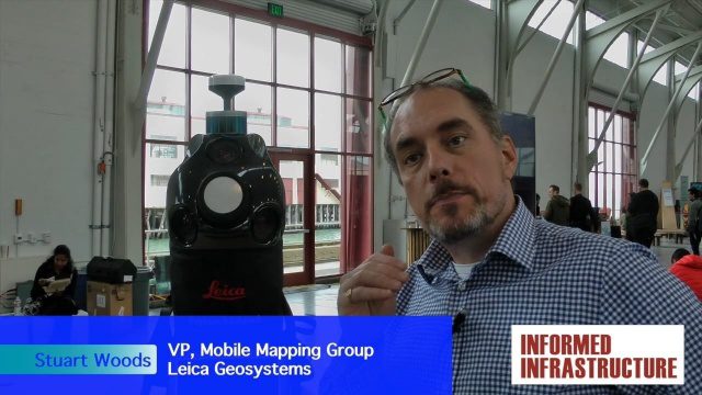
Digital Surveying Improves with Mobility and Multiple Sensors
0 Views0 Comments0 Likes
The V1 Video team interviewed Stuart Woods, VP, Mobile Mapping Group, Leica Geospatial, at the REAL 2016 event in San Francisco. He discussed the future of digital surveying, increased mobility in a variety of technologies, how multiple sensors help get the job done, and the company's new Pegasus Backpack product.
NPMap Pioneers Open and Flexible Platform
0 Views0 Comments0 Likes
The V1 Video team interviewed Nate Irwin, head of the NPMap team for the National Park Service, at the USFWS/USNPS Geospatial Training Workshop. NPMap is an innovative online mapping platform that helps park visitors navigate the details of national parks as well as providing a platform for parks to customize and share maps for park management.

Conservation Planning in the Face of Climate Change
0 Views0 Comments0 Likes
The V1 Video team interviewed Sam Veloz, Climate Adaptation Group Director for Point Blue Conservation Science. He discussed several items related to monitoring the environment, including finding the proper scale, how the world and its sensing is changing, scenario planning, and his progress report for environmental monitoring and its successes and failures.
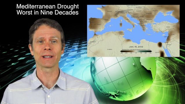
3_24 Climate Change Broadcast (Forest Recovery, Drought and More)
0 Views0 Comments0 Likes
This GeoSpatial Stream broadcast discusses several aspects of climate change, including how forests help regulate the environment and two studies that indicate recent regrowth; a USGS-led working group on ecological drought; surprisingly high levels of a banned ozone-depleting chemical; the largest Mediterranean drought in 900 years; industry news from TerraGo, Mapillary and Esri; a NASA video of one of its forest-monitoring projects; and more.


