
Tag: UAS
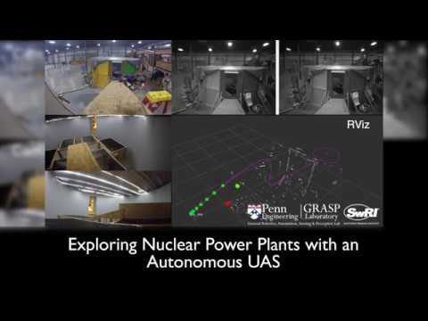
Exploring Nuclear Power Plants via UAS
0 Views0 Comments0 Likes
Southwest Research Institute and the University of Pennsylvania are developing UAS technology to fly into the containment vessels of the damaged units at Japan’s Fukushima Daiichi nuclear power station and assess conditions.
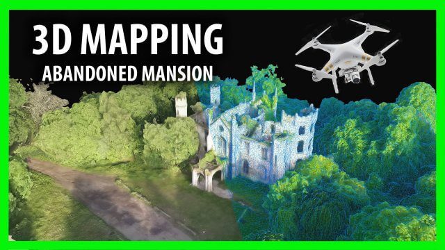
3D Drone Mapping of Scotland’s Cambusncethan Priory Mansion
0 Views0 Comments0 Likes
Abandoned Scotland created this video of a project to create 3D mapping from drones of the Cambusncethan Priory mansion. http://www.abandonedscotland.com

6_30 Drones and GIS Broadcast (FAA Rule, Esri UC and More)
0 Views0 Comments0 Likes
This GeoSpatial Stream broadcast discusses the landmark FAA Rule Part 107 for small UASs/UAVs/drones and its effect on the U.S. economy; highlights from the 37th Esri User Conference in San Diego; industry news from SmarterBetterCities, Trimble, Cadcorp and Esri; an Esri video that opened the recent UC; and more.
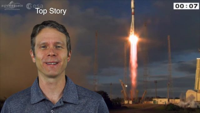
4_28 Earth Imaging Broadcast (Sentinel, Drones and More)
0 Views0 Comments0 Likes
This Earth Imaging-themed GeoSpatial Stream broadcast discusses the recent successful launch of the European Space Agency's Sentinel 1-B satellite; UAS (or drone) news about a 3D-printed vehicle helping ships navigate Antarctic seas as well as the economic impact of the Micro Aerial Vehicle market; a NASA study on the greening of Earth caused by increased carbon dioxide; industry news from 5D Robotics, LizardTech, the U.S. Geospatial Intelligence Foundation and Teledyne Optech; a video about the Sentinel satellites capabilities; and more.
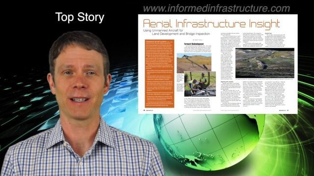
4_7 Infrastructure Broadcast (Drones, Funding and More)
0 Views0 Comments0 Likes
This Infrastructure-themed GeoSpatial Stream broadcast discusses how drone/UAS/UAV technology is being adopted in infrastructure projects worldwide; state transportation funding; the development of transparent wood; industry news from CINTEC, Trimble, IMAGINiT, SmarterBetterCities and Siteco; a video from the Construction Climate Talks series; and more.

2_25 Earth Imaging Broadcast (Sentinel Launch, Smallsats and More)
0 Views0 Comments0 Likes
This Earth Imaging-themed GeoSpatial Stream broadcast discusses the recently launched Sentinel-3A Earth-monitoring satellite; a smallsat/cubesat video created by the European Space Agency; NASA UAS/drone news; industry news from Esri, SimActive, Teledyne Optech and Riegl; a funny mapping video from the University of Kentucky's New Maps Plus online education program; and more.

Topcon Products Enable Mapping from Ground, Air and Vehicles
0 Views0 Comments0 Likes
Todd Danielson interviews Barbara McInerney, Product Marketing Manager, Topcon GeoPositioning Solutions Group, at the 2014 Esri User Conference in San Diego. They discuss Topcon's GIS and mapping solutions in three main areas: from the ground, from the air and in a vehicle.
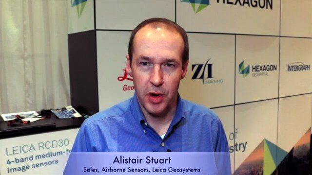
Alistair Stuart, Leica Geosystems, Interview
0 Views0 Comments0 Likes
Matt Ball interviews Alistair Stuart, sales of Airborne Sensors, Leica Geosystems. They discuss Leica's recent purchase of Aibotix and its Aibot X6 hexacopter. Stuart discusses the advantages of the UAS compared to other imagery vehicles in terms of cost, safety and portability.


