
Tag: Trimble

6_25 Hurricane Broadcast (Infrastructure Spending, Iraq and More)
4.31K Views0 Comments0 Likes
This GeoSpatial Stream broadcast discusses the 2014 hurricane season; infrastructure spending predicted to increase to $9 trillion by 2025; a Landsat image of Iraq; the Dutch Water System; industry news from Eagle Mapping, Riegl, E-Capture R&D, Esri, Blue Marble Geographics and URISA; and more.
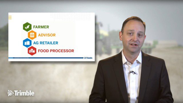
Launch of Trimble Ag Software
4.00K Views0 Comments0 Likes
Ben Allen, enterprise solutions lead for Trimble Agriculture, explains how Trimble’s new farm data management platform—Trimble Ag Software—simplifies management of data and helps farmers make informed, timely decisions.

5_15 Asia-Pacific Broadcast (Sri Lanka Transit GIS, China World Map and More)
3.79K Views0 Comments0 Likes
This Asia-Pacific-focused GeoSpatial Stream broadcast discusses a train accident in Sri Lanka and how a new GIS may prevent future collisions; India's groundwater mapping; China's World Map online; Australia's 2014 Esri Young Scholars Award winner; industry headlines from Trimble, Tencent and NavInfo, and NZ Aerial Mapping; the World Under Water Web site; and more.
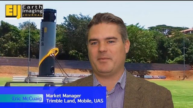
Trimble’s Mobile Mapping Systems Enabling Greater Access
3.47K Views0 Comments0 Likes
The V1 Video team spoke with Eric McCuaig, Market Manager for Trimble's Land, Mobile and UAS Systems, at the ILMF 2016 event held in Denver in February 2016. He spoke about the company's new MX7 mobile-mapping product and its applications as well as the importance of ease of use in modern systems.

7_1 Drones Broadcast (SPOT 7, Minerals Cadastre and More)
3.43K Views0 Comments0 Likes
This GeoSpatial Stream broadcast discusses the banning of drones from U.S. National Parks; the launch of SPOT 7; a Tanzanian effort to improve its mining cadastre; the first private Russian remote-sensing satellite; industry news from IMAGINiT Technologies, GeoVille, CartoDB, Esri and Boundless; an article in Sensors & Systems; and more.

Trimble Providing a Complete Aerial Mapping Solution
3.32K Views0 Comments0 Likes
The V1 Video team spoke with Christian Hoffman, Marketing Manager for Trimble's Aerial LiDAR, Photogrammetry and Remote-Sensing Solutions, at the ILMF 2016 event held in Denver in February 2016. He spoke about Trimble's complete packages for LiDAR acquisition, including the AX60i, AX60 and AX80 hardware as well as the company's Inpho and eCognition software.

Tim Lemmon and Todd Steiner Interview (Trimble)
3.23K Views0 Comments0 Likes
Matt Ball interviews Trimble's Tim Lemmon, Marketing Director, Geospatial Software Solutions, and Todd Steiner, Marketing Director, Geospatial Imaging Solutions, at SPAR International in Colorado Springs, Colo. They discuss Trimble's integration between hardware and software so customers can make better business decisions, the changing role of the surveyor, and a variety of new hardware and software products.

3_6 ILMF Broadcast (Conference Recap, USGS News, Aerial Imagery Market and More)
3.00K Views0 Comments0 Likes
This GeoSpatial Stream broadcast discusses the recent International LiDAR Mapping Forum, important USGS news, the future of the aerial imagery market, a map contest, and more.

Trimble Discusses Mobile Device Evolution and Flexibility for Precision
2.63K Views0 Comments0 Likes
The V1 Video team interviewed Matt van Doorn, Product Manager in Trimble’s Geospatial Division, at the 2015 Esri User Conference in San Diego. We spoke about the rugged requirements of a professional device vs. a smartphone for field data collection. The market is good for both approaches, pairing a smartphone via a bluetooth device for high-precision collection.

6_30 Drones and GIS Broadcast (FAA Rule, Esri UC and More)
2.55K Views0 Comments0 Likes
This GeoSpatial Stream broadcast discusses the landmark FAA Rule Part 107 for small UASs/UAVs/drones and its effect on the U.S. economy; highlights from the 37th Esri User Conference in San Diego; industry news from SmarterBetterCities, Trimble, Cadcorp and Esri; an Esri video that opened the recent UC; and more.


