
Tag: Todd Danielson

4_2 Infrastructure Broadcast (Landsat and Flood Risk, Cloud-Based Tools, and More)
0 Views0 Comments0 Likes
This infrastructure-focused GeoSpatial Stream broadcast discusses how Landsat is helping with flood risk to infrastructure; North Carolina using cloud-based property data; a Regional Road Construction Map in Spokane; industry news from Columbia Pipeline Group, Synergis, Cityworks and Bentley Systems; surveying in the British Virgin Islands; the Technology of Walking; and more.

3_31 Remote-Sensing Broadcast (Melting Ice, Deadly Air Pollution, Food Maps and More)
0 Views0 Comments0 Likes
This GeoSpatial Stream broadcast discusses the devastating flooding throughout Europe and how satellites are helping; the 2015 NOAA satellite budget; a new NASA imager for global precipitation; commercial remote-sensing distributors; Airbus Defense and Space and its involvement with Sentinel-5; satellites observing the formation of black holes; and more.

3_26 Climate Broadcast (Melting Ice, Deadly Air Pollution, Food Maps and More)
0 Views0 Comments0 Likes
This GeoSpatial Stream broadcast discusses the world's melting ice and rising seas, a WHO report stating that air pollution kills one in eight worldwide, "Cash for Clunker Maps," Food Maps, a GIS rap, and more.
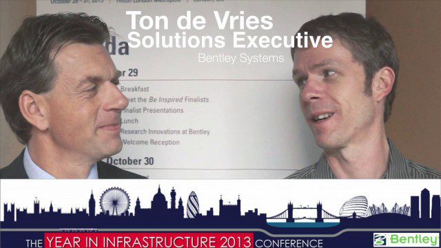
Ton de Vries Interview
0 Views0 Comments0 Likes
Todd Danielson interviews Ton de Vries, solutions executive, Bentley Systems. They talk about 3D City Models, Hypermodeling and the importance of Standards.
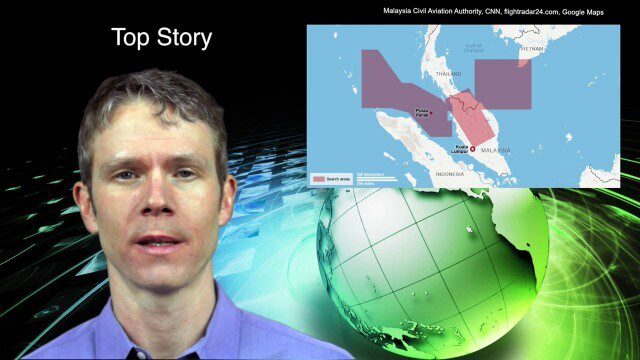
3_18 Asia-Pacific Broadcast (Malaysia Flight 370, “Smog-Busting Drones,” Shark Cameras and More)
0 Views0 Comments0 Likes
This Asia-Pacific-focused GeoSpatial Stream broadcast discusses the mysteries of Malaysia Flight 370 and geospatial technology’s role, China’s “War on Pollution” enlisting drone smog fighters, Afghanistan resource maps, a youth GIS contest, and more.

3_6 ILMF Broadcast (Conference Recap, USGS News, Aerial Imagery Market and More)
0 Views0 Comments0 Likes
This GeoSpatial Stream broadcast discusses the recent International LiDAR Mapping Forum, important USGS news, the future of the aerial imagery market, a map contest, and more.
Exploring InfraWorks, Vegas Style Event (Full-Length Version)
0 Views0 Comments0 Likes
This full-length video summarizes the Exploring InfraWorks, Vegas Style event that took place during Autodesk University on Dec. 4, 2014. A bus trip explored the use of Autodesk technology to model the infrastructure of the city of Las Vegas. VTN Consulting is the main contractor on the project.

Richard Humphrey Interview (Full-Length Version)
0 Views0 Comments0 Likes
Todd Danielson interviews Richard Humphrey, senior director, Infrastructure & Collaboration Products, Autodesk. They discuss how technology can help "bridge the gaps" in infrastructure spending, the Autodesk infrastructure product suite, simulation services, information unification, rules-based design platforms, large-scale modeling, and Autodesk's ReCap product.
2_18 Asia-Pacific Broadcast (China’s Ecological Infrastructure, TeLEOS-1 Satellite, Alibaba Mapping Offer and More)
0 Views0 Comments0 Likes
This Asia-Pacific-focused GeoSpatial Stream broadcast discusses Kongjian Yu's efforts in China's ecological infrastructure; the TeLEOS-1 Earth-imaging satellite; the Geological Survey of India; Alibaba's offer for AutoNavi; the "other" Great Wall of China mapping; Skybox Imaging in Australasia; and more.

2_12 Roger Tomlinson Broadcast (GeoDesign Summit, Tomlinson Tribute, Landsat 8 and More)
0 Views1 Comments0 Likes
This GeoSpatial Stream broadcast discusses Esri's GeoDesign Summit; the recent passing of Roger Tomlinson, "The Father of GIS"; Landsat 8's birthday; climate change and national security; woodland conservation; geospatial gaming technology; and more.


