Tag: Todd Danielson
Jack Dangermond Implores GIS Community to Get Involved to Make a Difference (4 of 4)
0 Views0 Comments0 Likes
In the final of four installments, Todd Danielson interviews Jack Dangermond, President and Founder, Esri, at the 2014 Esri User Conference in San Diego. Jack talks about his passion to solve problems, sometimes at a global scale, and enabling the next generation to help tackle the world's problems. He also encourages the GIS community to "move out and play at 100 percent."
Keith Masback Interview (USGIF CEO at GEOINT)
0 Views0 Comments0 Likes
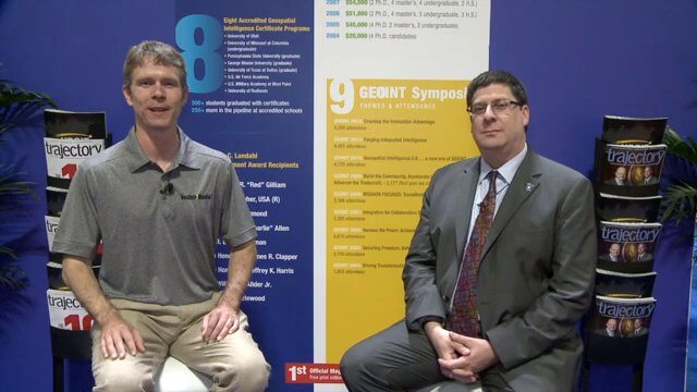
Todd Danielson interviews Keith Masback, CEO of the U.S. Geospatial Intelligence Foundation (USGIF), at the GEOINT Symposium in Tampa, Florida. They discuss highlights of the event, the effect of the show's unexpected delay from fall 2013 to spring 2014 and what has changed since then, where and when the next event will be held, how technologies start at GEOINT and "trickle down" into the larger industry, industry integration, the wide range of companies in attendance, and more.
5_29 Education Broadcast (Esri ConnectED, Greenland Glaciers and More)
0 Views0 Comments0 Likes
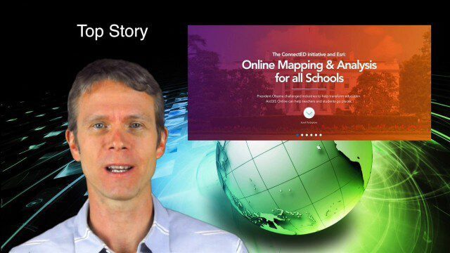
This GeoSpatial Stream broadcast discusses Esri's billion-dollar donation to Obama's ConnectED program for K-12 students; new NASA data showing Greenland's glaciers will have more impact on sea-level rise than originally thought; a report on the global space economy; industry news from Raytheon and Blue Marble Geographics; a video showing the power of geospatial tools in young students' hands; and more.
Bhupinder Singh Interview Short Version
0 Views0 Comments0 Likes
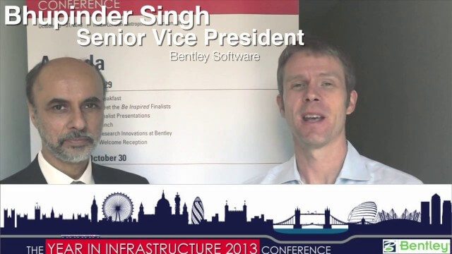
A condensed version of Todd Danielson interviewing Bhupinder Singh, senior vice president, Bentley Software. They discuss his role with the company, Bentley's "Connected Approach" to software design, how to Innovate with and take advantage of Technology Disruptions, and Bentley's engineering approach called "Optioneering."
7_30 Asia-Pacific Broadcast (Deforestation, Beijing Smog and More)
0 Views0 Comments0 Likes
This Asia-Pacific-focused GeoSpatial Stream broadcast discusses deforestation in Indonesia; IBM joining Beijing's fight against smog; Asian effects on mobile-device charging; Pakistan's move toward space technology; satellite imagery use in Australian vineyards; industry news from Spatial Dimensions, ScanEx, Maptek and Esri; geospatial insight into Indonesian politics; and more.
6_19 Asia-Pacific Broadcast (Toxic Sites, Bird Flu Maps and More)
0 Views0 Comments0 Likes
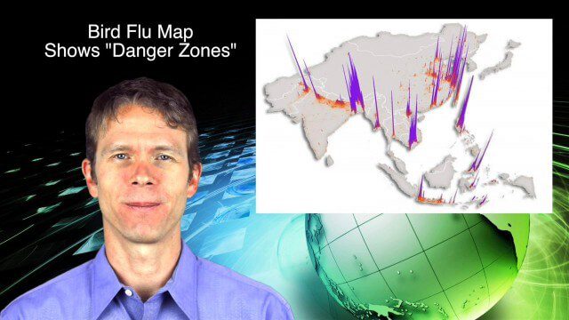
This Asia-Pacific-focused GeoSpatial Stream broadcast discusses an analysis from the Global Alliance on Health and Pollution; 3D images of the Fukushima Daiichi nuclear complex; an Indonesia forestry map; bird flu maps; China's Fengyun-3C satellite; India's Bhaskaracharya Institute for Space Applications and Geoinformatics; industry headlines from AAM and JTRS Registered Surveyor, Fugro, VisionMap and Acute3D, and Supergeo; the "Poisoned Poor"; and more.
5_22 Remote-Sensing Broadcast (Space Symposium, WorldView-3 and More)
0 Views0 Comments0 Likes
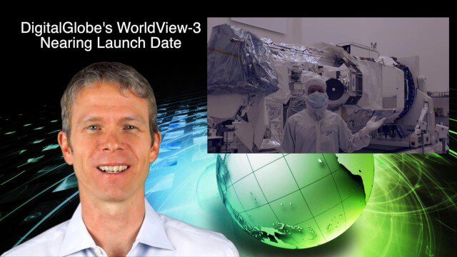
This GeoSpatial Stream broadcast covers a variety of remote-sensing topics, such as the recent Space Symposium in Colorado; a preview of DigitalGlobe's WorldView-3 satellite; a special report on micro-satellites; industry news from Airbus Defence and Space, BAE Systems, Teledyne, and NASA; and more.
IMAGINiT Helps Clients through Entire Workflow
0 Views0 Comments0 Likes
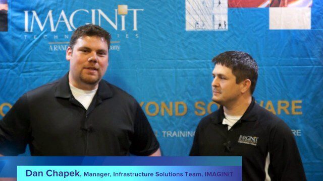
Todd Danielson interviews Dan Chapek, Manager, Infrastructure Solutions Team, IMAGINiT, and Jeff Bowers, Consultant, Business Solutions, IMAGINiT, at the HxGN LIVE event in Las Vegas, Nevada. They discuss how to integrate scanning data into design applications to create client deliverables, how the company partners with Leica Geosystems and Autodesk products, "field to finish" workflows, and more.
7_23 Esri UC Broadcast (Video Recap, Exhibitor News and More)
0 Views0 Comments0 Likes
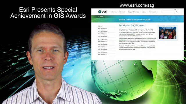
This GeoSpatial Stream broadcast covers news and events from the recent Esri User Conference in San Diego, including a video recap of speakers and topics; news from Esri on the Special Achievement in GIS Awards, its Tapestry Segmentation system and a partnership with European Schoolnet; exhibitor news from Topcon Positioning Group, Airbus Defense and Space, LizardTech and Scene Sharp; a clip from an interview with Jack Dangermond, Esri's president and founder; and more.
5_26 Asia Pacific Broadcast (DIWATA-1, Apple Maps and More)
0 Views0 Comments0 Likes
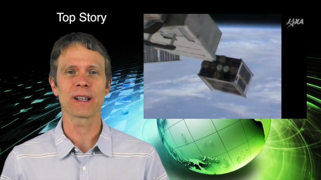
This Asia Pacific-themed GeoSpatial Stream broadcast covers the recent launch of DIWATA-1, The Philippines' first microsatellite; Australia's move toward more-accurate GNSS navigation at its airports; Apple opening a technical and support center in Hyderabad, India, for its Maps and navigation services; industry news from NTT Data, LizardTech, BJ Open Tide BoGan, Ozius Spatial and U-blox; a video clip from JAXA (in Japanese) about weather monitoring; and more.


