
Tag: Internet
Can the Next Generation of Satellites Help Predict and Battle Wildfires?
1.82K Views0 Comments0 Likes
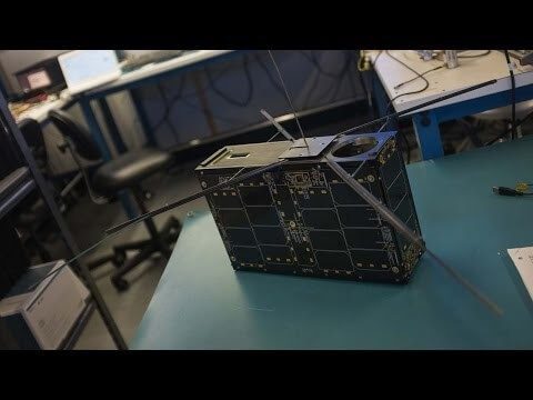
Re/code visits NASA's Silicon Valley research center, where a pair of startups are working together to democratize satellite data. Aquila Space is building a fleet of satellites while its partner Astro Digital is developing software tools that allow anyone to process and analyze the data. Among other things, the information could be used to help inform policy and responses for ecological disasters, including the droughts and wildfires plaguing California.

Make It Wearable Finalists: Meet Team Nixie
2.32K Views0 Comments0 Likes
Team Nixie (http://flynixie.com) is developing the first wearable drone camera, which can be worn around your wrist. The team will be presenting their prototype for the Intel Make It Wearable Challenge Finale on November 3, 2014 in San Francisco. Learn more about Make It Wearable and follow the race to the finish line at http://makeit.intel.com. To find out more about Team Nixie, see their work at http://flynixie.com or follow them on https://www.facebook.com/flynixie.

NASA Intro to LIDAR
2.30K Views0 Comments0 Likes
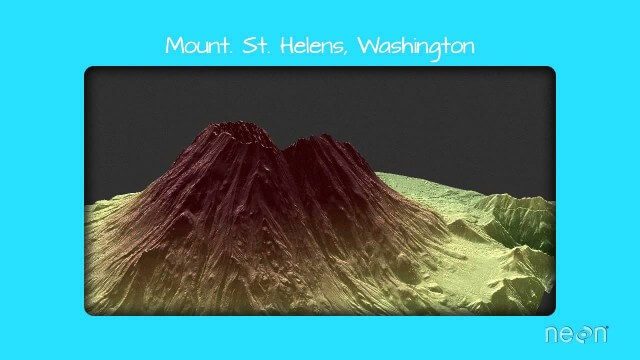
Want to know the 3D shape of terrain on another planet? Want to study the height and density of Earth's forests? An amazing tool called LIDAR can help! Learn more in this video.
The Global Sensor Network – University of South Australia
2.47K Views0 Comments0 Likes
Australia has a combined land and sea territory of more than 8 million square kilometers. Yet most of this is currently out of the reach of affordable communication. Now the University of South Australia's Institute for Telecommunications Research has turned this on its head, with the development of the Global Sensor Network. The Global Sensor Network is an innovative signal processing system which provides low cost, two-way, simultaeneous satellite communications to multiple users.
LiDAR – Introduction to Light Detection and Ranging
2.67K Views0 Comments0 Likes
This video presents LiDAR of light detection and ranging, an active remote sensing system that uses laser energy, to measure the heights of objects like trees and buildings and even the ground. This video was developed by the National Ecological Observatory Network (www.neoninc.org).
Introducing Google’s Project Wing
4.09K Views0 Comments0 Likes
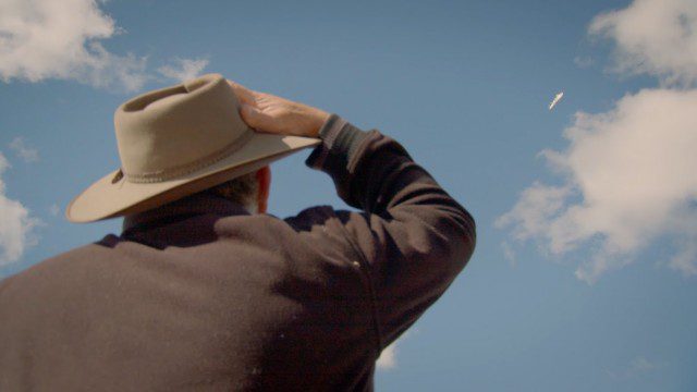
Project Wing is a Google[x] project that is developing a delivery system that uses self-flying vehicles. As part of our research, we built a vehicle and traveled to Queensland, Australia for some test flights. There, we successfully delivered a first aid kit, candy bars, dog treats, and water to a couple of Australian farmers. We’re only just beginning to develop the technology to make a safe delivery system possible, but we think that there’s tremendous potential to transport goods more quickly, safely and efficiently.
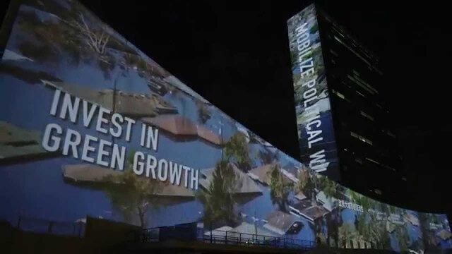
illUmiNations: Protecting our Planet
1.96K Views0 Comments0 Likes
United Nations General Assembly and Secretariat buildings lit up on Saturday night in a revolutionary call for climate action in connection with the Secretary-General's climate Summit. #climate2014. "illUmiNations: Protecting Our Planet" was collaboratively designed and produced for UNDPI by the Oceanic Preservation Society, Obscura Digital and Insurgent Media.
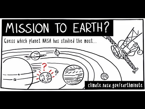
NASA’s Earth Minute: Mission to Earth?
1.69K Views0 Comments0 Likes
NASA doesn't just explore outer space! Since 1959, with the launch of the first weather satellite, NASA has been studying our home planet on a global scale. NASA monitors Earth's vital signs via satellites and airplanes, sends scientists to the far corners of the land and under the ocean, and develops computer models of Earth's climate processes. Why? Because Earth is the only planet that nearly eight billion people call "home sweet home."


