Tag: infrastructure
7_23 Infrastructure Broadcast (AEC Market Reports, Smart Cities and More)
0 Views0 Comments0 Likes
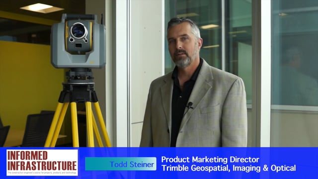
This Infrastructure-themed GeoSpatial Stream broadcast discusses an optimistic AEC market report; a $16 billion commitment from the state of Washington for transportation improvements; a new LADOT public Web map for smart communities; laser scanning in Mexico; industry news from SmarterBetterCities, Topcon Positioning Group and PaveXpress; thoughts on seeing Informed Infrastructure in action in Chicago; and more.
Profile Soil Solutions Software (PS3) Explained
0 Views0 Comments0 Likes
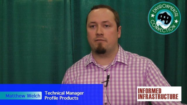
The V1 Video team spoke with Matthew Welch, Technical Manager, Profile Products, at the International Erosion Control Association (IECA) Environmental Connection 2016 event held in San Antonio in February 2016. He explained the five key components of a PS3 implementation, the importance of having quality scientific data, value engineering and more.
5_12 Infrastructure Broadcast (Earthquakes, Streetcars and More)
0 Views0 Comments0 Likes
This Infrastructure-themed GeoSpatial Stream broadcast covers the devastating earthquake in Ecuador on April 16, 2016, and relief efforts from Miyamoto International to help rebuild the city's hard-hit infrastructure; a recently opened $100-million-dollar streetcar project in Kansas City; industry news from Trimble, Bentley Systems, Transoft Solutions and Autodesk; a video interview clip about Chicago's famed 150 N. Riverside Building; and more.
ikeGPS Demonstrates New Spike Device at Esri UC
0 Views0 Comments0 Likes
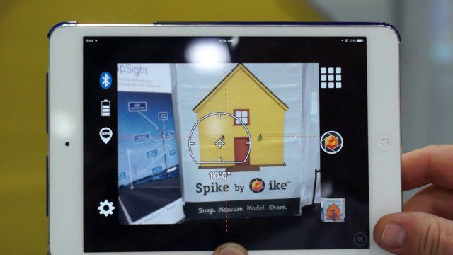
Brian Soliday, Senior VP of Sales, ikeGPS, demonstrates the company's new Spike measurement device at the 2014 Esri User Conference in San Diego. Featuring a laser, accelerometer and 3-D compass, combined with a camera and GPS, Spike provides and quick and easy way to "measure the world around you."
2_18 Asia-Pacific Broadcast (China’s Ecological Infrastructure, TeLEOS-1 Satellite, Alibaba Mapping Offer and More)
0 Views0 Comments0 Likes
This Asia-Pacific-focused GeoSpatial Stream broadcast discusses Kongjian Yu's efforts in China's ecological infrastructure; the TeLEOS-1 Earth-imaging satellite; the Geological Survey of India; Alibaba's offer for AutoNavi; the "other" Great Wall of China mapping; Skybox Imaging in Australasia; and more.
Bentley Systems’ Impact on Road and Rail Industries
0 Views0 Comments0 Likes
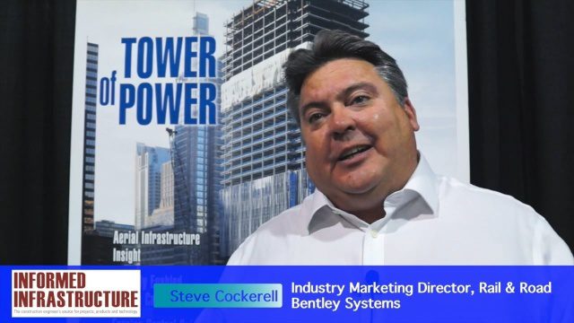
The V1 Video team interviewed Steve Cockerell, Industry Marketing Director of Rail & Road for Bentley Systems, at the 2016 SPAR 3D Expo and Conference, held April 11-14 in The Woodlands, Texas. He discusses the company's ContextCapture, LumenRT and ConceptStatin products as well as the high-profile Crossrail project and how it has changed the company's products and practices.
Greg Bentley Talks Reality Modeling and the Future of 3D Tech
0 Views0 Comments0 Likes
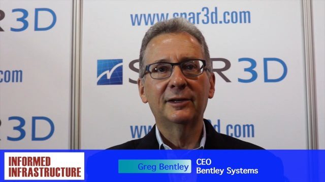
The V1 Video team interviewed Greg Bentley, CEO of Bentley Systems, at the 2016 SPAR 3D Expo and Conference, held April 11-14 in The Woodlands, Texas. In Part I, he provides his insight into reality modeling, the differences between a reality mesh and a point cloud, new tools for improved engineering and the future of 3D technology.
OpenBridge Modeler Saves Time, Money throughout Lifecycle
0 Views0 Comments0 Likes
The V1 Video team interviewed Alexander Mabrich, Senior Engineering Consultant with Bentley Systems, at the 2016 NASCC: The Steel Conference, held April 13-15 in Orlando, Fla. He discusses the gap between concept and design in bridge construction, Bentley's OpenBridge Modeler product and how it can help throughout the process, and how a model can continue to be used after construction in maintenance and rehabilitation.
6_25 Hurricane Broadcast (Infrastructure Spending, Iraq and More)
0 Views0 Comments0 Likes
This GeoSpatial Stream broadcast discusses the 2014 hurricane season; infrastructure spending predicted to increase to $9 trillion by 2025; a Landsat image of Iraq; the Dutch Water System; industry news from Eagle Mapping, Riegl, E-Capture R&D, Esri, Blue Marble Geographics and URISA; and more.

