Tag: infrastructure
8_4 Infrastructure Broadcast (TIGER Grants, Transit Tech and More)
0 Views0 Comments0 Likes
This Infrastructure-themed GeoSpatial Stream broadcast discusses $500 million in grants from the USDOT's TIGER program; highlights from the latest issue of Informed Infrastructure magazine; new virtual reality technology to promote transit; industry news from Pix4D, Thinkbox Software and the Global Infrastructure Hub; a video from the Mississippi Watershed Management Organization about a stormwater filtration system recently installed near Minneapolis; and more.
Capturing the Iconic Red Rocks Park and Amphitheater
0 Views1 Comments0 Likes
The V1 Video Team made a site visit to Red Rocks Amphitheater and Park to capture video interviews and witness an ambitious drone-based reality-capture exercise to photograph and model the mountain park. The visualization team from engineering firm Kimley-Horn captured the area for the City and County of Denver, which owns and maintains the park. Autodesk and its partner 3D Robotics were on hand to demo their collaboration on SiteScan, which creates an automated workflow from drone capture to use within Autodesk’s modeling software. The mission had many purposes, including historical archiving of the park, modeling stormwater erosion, tracking trail maintenance, and building acoustics and lighting models for the amphitheater.
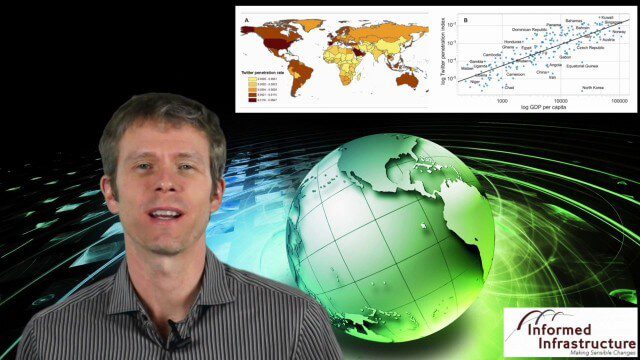
GeoSpatial Stream 11_18 (protected areas, geolocated tweets, infrastructure investment and more)
0 Views0 Comments0 Likes
This Daily Digest was published on 11/18/2013. Topics covered include identifying protected habitat areas, satellite imagery legislation, geolocated Tweets to reveal travel patterns, Indonesian infrastructure investment, and more.
Software Aids Stormwater and Sewage Infrastructure Design
0 Views0 Comments0 Likes
Urbano software is used for the design of sewage and water distribution networks. Urbano Canalis is the module used for design of storm and sanitary sewage systems. You can create complete storm and sanitary sewage system designs, starting from the initial network definition to the analysis of hydraulic results.
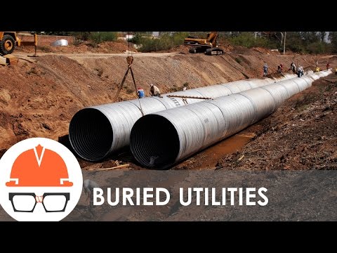
What’s that Infrastructure? (Subsurface Utilities)
0 Views0 Comments0 Likes
You never know what's buried below your feet, but it could be infrastructure. Today's episode of WTI shows a number of subsurface utilities.
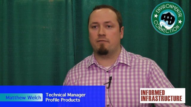
Profile Soil Solutions Software (PS3) Explained
0 Views0 Comments0 Likes
The V1 Video team spoke with Matthew Welch, Technical Manager, Profile Products, at the International Erosion Control Association (IECA) Environmental Connection 2016 event held in San Antonio in February 2016. He explained the five key components of a PS3 implementation, the importance of having quality scientific data, value engineering and more.
Working from Reality Capture to Modeling to Consumption
0 Views0 Comments0 Likes
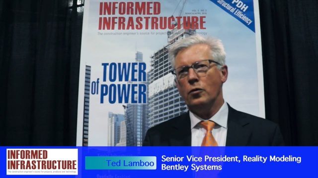
The V1 Video team interviewed Ted Lamboo, Senior Vice President of Reality Modeling for Bentley Systems, at the 2016 SPAR 3D Expo and Conference, held April 11-14 in The Woodlands, Texas. He discusses reality modeling and the full cycle from capture to modeling to consumption, Bentley products used in that cycle such as ContextCapture, and examples of such use in highway design and substation modeling.
The Future of Making Things at Autodesk and Industrywide
0 Views0 Comments0 Likes
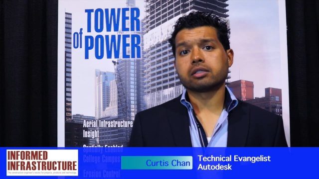
The V1 Video team interviewed Curtis Chan, Technical Evangelist at Autodesk, at the 2016 SPAR 3D Expo and Conference, held April 11-14 in The Woodlands, Texas. A keynote speaker at the event, he discusses "the future of making things" at Autodesk and through the industry; Autodesk's creative platforms such as Fusion, Spark and Forge; interesting use cases that have caught his attention; and how 3D printing can be scaled up into construction projects.
Engineers Analyze Post-Earthquake Conditions in Himalayas
0 Views0 Comments0 Likes
Following the M-7.8 earthquake here in April 2015, Dr. Kit Miyamoto and an assessment team traversed the Himalayas, analyzing post-earthquake conditions on popular trekking trails.
3_19 Infrastructure Broadcast (NYC Gas Explosion, Canada vs. U.S. Infrastructure and More)
0 Views0 Comments0 Likes
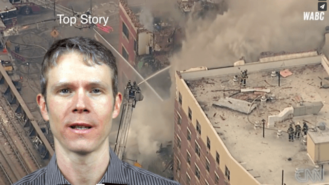
This infrastructure-focused GeoSpatial Stream broadcast discusses the gas-leak explosion in New York City; the state of the U.S. infrastructure; Canadian investment; announcements from the Smart Grid Innovation Hub, Bentley Systems, Esri, Oracle and Topcon Positioning Group; and more.

