
Tag: GIS

GEO Looking to Increase Partnerships with the Private Sector
0 Views0 Comments0 Likes
Matt Ball interviews Barbara Ryan, Director, Group on Earth Observations (GEO) Secretariat, at the 2014 Esri User Conference in San Diego. Ryan discusses her role at GEO; a key meeting in Geneva, Switzerland; the next 10 years at the organization; and its growth in partnering with the private sector.

Richard Humphrey Autodesk Interview (Short Version)
0 Views0 Comments0 Likes
In this condensed version, Todd Danielson interviews Richard Humphrey, senior director, Infrastructure Products, Autodesk. They discuss how technology can help "bridge the gaps" in infrastructure spending, simulation services, and large-scale modeling.

Dr. Joachim Rix – INTERGEO Opinion Leader Talk
0 Views0 Comments0 Likes
Dr. Joachim Rix, Competence Center Spatial Information Management at Fraunhofer IGD, speaks about the project “Smarticipiate” and his congress block at INTERGEO in Hamburg.

Understanding GIS – An Overview
0 Views0 Comments0 Likes
Geographic Information Systems are used by professionals and academics all over the world to investigate problems ranging from the spread of disease to the damage caused by hurricanes. Learn more about the University of Michigan-Flint's GIS Certificate by visiting umflint.edu/gis/gis-center

2_25 Earth Imaging Broadcast (Sentinel Launch, Smallsats and More)
0 Views0 Comments0 Likes
This Earth Imaging-themed GeoSpatial Stream broadcast discusses the recently launched Sentinel-3A Earth-monitoring satellite; a smallsat/cubesat video created by the European Space Agency; NASA UAS/drone news; industry news from Esri, SimActive, Teledyne Optech and Riegl; a funny mapping video from the University of Kentucky's New Maps Plus online education program; and more.

5_12 Infrastructure Broadcast (Earthquakes, Streetcars and More)
0 Views0 Comments0 Likes
This Infrastructure-themed GeoSpatial Stream broadcast covers the devastating earthquake in Ecuador on April 16, 2016, and relief efforts from Miyamoto International to help rebuild the city's hard-hit infrastructure; a recently opened $100-million-dollar streetcar project in Kansas City; industry news from Trimble, Bentley Systems, Transoft Solutions and Autodesk; a video interview clip about Chicago's famed 150 N. Riverside Building; and more.
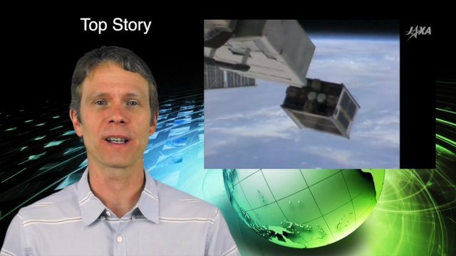
5_26 Asia Pacific Broadcast (DIWATA-1, Apple Maps and More)
0 Views0 Comments0 Likes
This Asia Pacific-themed GeoSpatial Stream broadcast covers the recent launch of DIWATA-1, The Philippines' first microsatellite; Australia's move toward more-accurate GNSS navigation at its airports; Apple opening a technical and support center in Hyderabad, India, for its Maps and navigation services; industry news from NTT Data, LizardTech, BJ Open Tide BoGan, Ozius Spatial and U-blox; a video clip from JAXA (in Japanese) about weather monitoring; and more.

6_9 Earth Imaging Broadcast (Satellite Success, Asteroid Mining and More)
0 Views0 Comments0 Likes
This Earth Imaging-themed GeoSpatial Stream broadcast discusses the recent streak of success at the European Space Agency, including its Sentinel and Galileo launches as well as a demonstration of the SpaceDataHighway; a NASA video about its North Atlantic Aerosols and Marine Ecosystems Study (NAAMES) mission; industry news from Merrick-Surdex Joint Venture, TerraGo, Earth-i, Teledyne Optech and Siteco Informatica; thoughts on asteroid mining and related benefits to Earth sensing; and more.
6_16 Infrastructure Broadcast (PDH Credit, HxGN Live and More)
0 Views0 Comments0 Likes
This Infrastructure-themed GeoSpatial Stream broadcast discusses the latest issue of Informed Infrastructure, including an article on Treasure Island bridge design, PDH credit for an Autodesk benchmark study, and new Web site features and interviews; video clips from the recent HxGN Live event covering Hexagon's latest technologies and direction; industry news from Hexagon, CINTEC America, Contech Engineered Solutions and CoreLogic; thoughts on an upcoming road trip across America's infrastructure; and more.

6_30 Drones and GIS Broadcast (FAA Rule, Esri UC and More)
0 Views0 Comments0 Likes
This GeoSpatial Stream broadcast discusses the landmark FAA Rule Part 107 for small UASs/UAVs/drones and its effect on the U.S. economy; highlights from the 37th Esri User Conference in San Diego; industry news from SmarterBetterCities, Trimble, Cadcorp and Esri; an Esri video that opened the recent UC; and more.


