
Tag: GeoSpatial Stream

Mike Tully Interview (Aerial Services Inc.)
0 Views0 Comments0 Likes
Matt Ball interviews Mike Tully, President and CEO, Aerial Services Inc., at SPAR International in Colorado Springs, Colo. They discuss remote sensing and airborne LiDAR in a variety of industries, sensor diversity, streamlining data delivery, and industry disruption due to unmanned aerial systems.
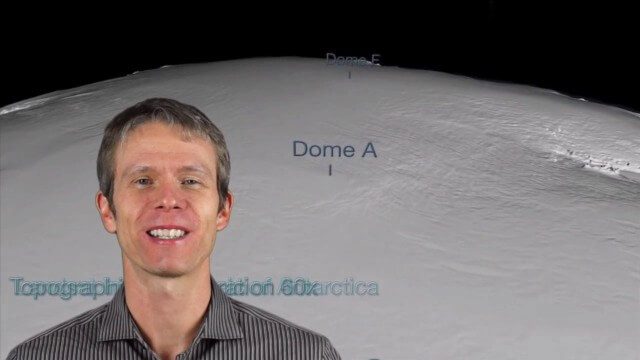
12_12 Broadcast (Microsatellites, Climate Models, Dinosaurs, Odysseus and more)
0 Views0 Comments0 Likes
This episode of GeoSpatial Stream discusses SkyBox and microsatellites, climate models, dinosaur extinction, Odysseus and more.
Las Vegas Broadcast 12_2 (Autodesk University, UAV economic impact, Great Barrier Reef map, ancient maps and more)
0 Views0 Comments0 Likes
This Daily Digest from 12/2 covers topics such as Autodesk University in Las Vegas, the economic impact of UAVs, ancient maps, imagery partnerships, climate change and more.
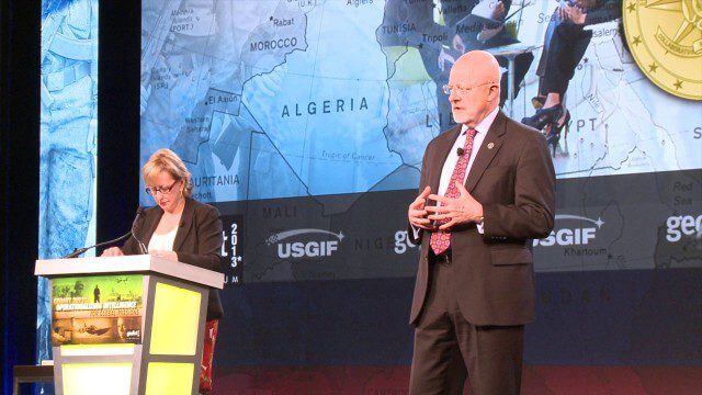
GEOINT Keynote: James Clapper, Director of National Intelligence (Part 4/Q&A)
0 Views0 Comments0 Likes
Part 4 of the GEOINT Symposium keynote address from James Clapper, Director of National Intelligence, completing the Q&A session.

IMAGINiT Helps Clients through Entire Workflow
0 Views0 Comments0 Likes
Todd Danielson interviews Dan Chapek, Manager, Infrastructure Solutions Team, IMAGINiT, and Jeff Bowers, Consultant, Business Solutions, IMAGINiT, at the HxGN LIVE event in Las Vegas, Nevada. They discuss how to integrate scanning data into design applications to create client deliverables, how the company partners with Leica Geosystems and Autodesk products, "field to finish" workflows, and more.

Prescribed Forest Fire Frequency Should Be Based on Land Management Goals
0 Views0 Comments0 Likes
Researchers at the University of Missouri have studied forests subjected to different frequencies of fires to determine what effects fire can have on oak forests over long periods of time.

5_15 Asia-Pacific Broadcast (Sri Lanka Transit GIS, China World Map and More)
0 Views0 Comments0 Likes
This Asia-Pacific-focused GeoSpatial Stream broadcast discusses a train accident in Sri Lanka and how a new GIS may prevent future collisions; India's groundwater mapping; China's World Map online; Australia's 2014 Esri Young Scholars Award winner; industry headlines from Trimble, Tencent and NavInfo, and NZ Aerial Mapping; the World Under Water Web site; and more.

6_25 Hurricane Broadcast (Infrastructure Spending, Iraq and More)
0 Views0 Comments0 Likes
This GeoSpatial Stream broadcast discusses the 2014 hurricane season; infrastructure spending predicted to increase to $9 trillion by 2025; a Landsat image of Iraq; the Dutch Water System; industry news from Eagle Mapping, Riegl, E-Capture R&D, Esri, Blue Marble Geographics and URISA; and more.

9_27 Climate Change Broadcast (Latest Data, Satellite Launches and More)
0 Views0 Comments0 Likes
This GeoSpatial Stream looks at the latest data on climate change from NOAA and NASA, including more record temperatures, flooding and shrinking sea ice; new satellites from Google's Terra Bella and Peru; Esri's new way of measuring oceans: the EMU; industry news from Phase One Industrial, TerraGo, Datumate and Satlab Geosolutions; a video of drone imaging for ESA's deep-space tracking system; and more.
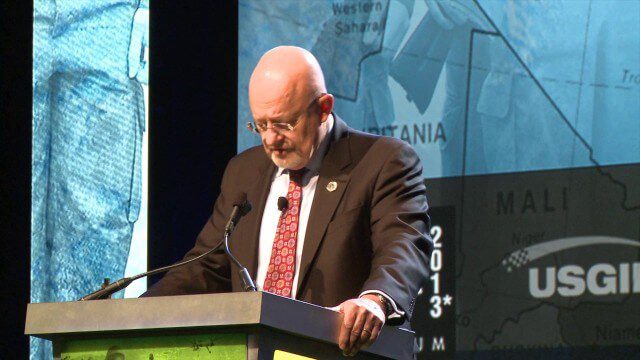
GEOINT Keynote: James Clapper, Director of National Intelligence (Part 2)
0 Views0 Comments0 Likes
Part 2 of the GEOINT Symposium keynote address from James Clapper, Director of National Intelligence.


