Tag: GeoSpatial Stream
Elmer Bol Interview (Autodesk)
0 Views0 Comments0 Likes
Matt Ball interviews Elmer Bol, Director of Product Management, Autodesk, at SPAR International in Colorado Springs, Colo. They discuss Reality Capture solutions, evolution in the construction industry, laser scanning, Autodesk products, data capture and mining, change detection, and more.
Dominique Pouliquen Interview (Autodesk)
0 Views0 Comments0 Likes
Matt Ball interviews Dominique Pouliquen, Director of Market Development, IPG/Reality Solutions, Autodesk, at SPAR International in Colorado Springs, Colo. They discuss reality computing, the scanning workflow, ReCap Connect, the new RCS format for point clouds, how plug-ins and Web APIs can help customers, and more.
LizardTech’s Express Server 9
0 Views0 Comments0 Likes
Jon Skiffington, director of Product Management for LizardTech, describes and demonstrates the latest features and additions to the company's Express Server 9 product, "the fastest, most stable, and easiest way to distribute compressed, high-resolution raster imagery via standard protocols."
5_15 Asia-Pacific Broadcast (Sri Lanka Transit GIS, China World Map and More)
0 Views0 Comments0 Likes
This Asia-Pacific-focused GeoSpatial Stream broadcast discusses a train accident in Sri Lanka and how a new GIS may prevent future collisions; India's groundwater mapping; China's World Map online; Australia's 2014 Esri Young Scholars Award winner; industry headlines from Trimble, Tencent and NavInfo, and NZ Aerial Mapping; the World Under Water Web site; and more.
5_22 Remote-Sensing Broadcast (Space Symposium, WorldView-3 and More)
0 Views0 Comments0 Likes
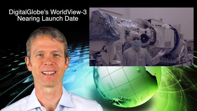
This GeoSpatial Stream broadcast covers a variety of remote-sensing topics, such as the recent Space Symposium in Colorado; a preview of DigitalGlobe's WorldView-3 satellite; a special report on micro-satellites; industry news from Airbus Defence and Space, BAE Systems, Teledyne, and NASA; and more.
5_29 Education Broadcast (Esri ConnectED, Greenland Glaciers and More)
0 Views0 Comments0 Likes
This GeoSpatial Stream broadcast discusses Esri's billion-dollar donation to Obama's ConnectED program for K-12 students; new NASA data showing Greenland's glaciers will have more impact on sea-level rise than originally thought; a report on the global space economy; industry news from Raytheon and Blue Marble Geographics; a video showing the power of geospatial tools in young students' hands; and more.
Exelis Discusses Climate Instrument Specialization and Demand
0 Views0 Comments0 Likes
Matt Ball spoke with Eric Webster, VP and Director, Environmental Intelligence, Geospatial Systems, Exelis, at the recent International Space Symposium. The conversation covered some recent sensor contract wins with NASA and JAXA as well as discussion about the evolution of sensors from hardware- to software-based, affording much greater on-orbit flexibility.
6_2 GPS Broadcast (Topo Maps, Napoleon, HxGN LIVE, More)
0 Views0 Comments0 Likes
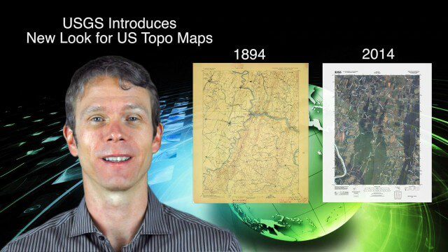
This GeoSpatial Stream broadcast includes a tribute to the "founder of GPS," Roger Easton, and discusses new USGS Topo maps; cloud computing frameworks; a book featuring the famous Minard Map of Napoleon's Russian Campaign of 1812; BlackBridge financing; World Cup Stadium images from Airbus; and an upcoming trip to HxGN LIVE in Las Vegas, Nevada.
Hexagon’s Schmidt Discusses Water Solutions
0 Views0 Comments0 Likes
Todd Danielson interviews Justin Schmidt, Executive Manager, Hexagon Solutions, at the HxGN LIVE event in Las Vegas, Nevada. They discuss the Hexagon Smart H2O Solution (the foundation for Hexagon Solutions), complete water systems and their challenges, dam monitoring and failures, and more.


