
Tag: GeoSpatial Stream
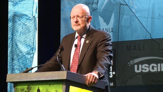
GEOINT Keynote: James Clapper, Director of National Intelligence (Part 4/Q&A)
2.89K Views0 Comments0 Likes
Part 4 of the GEOINT Symposium keynote address from James Clapper, Director of National Intelligence, completing the Q&A session.
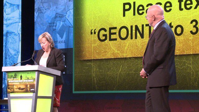
GEOINT Keynote: James Clapper, Director of National Intelligence (Part 3+ Q&A)
2.47K Views0 Comments0 Likes
Part 3 of the GEOINT Symposium keynote address from James Clapper, Director of National Intelligence, with some of the Q&A session.
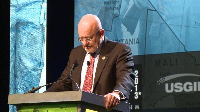
GEOINT Keynote: James Clapper, Director of National Intelligence (Part 2)
2.54K Views0 Comments0 Likes
Part 2 of the GEOINT Symposium keynote address from James Clapper, Director of National Intelligence.
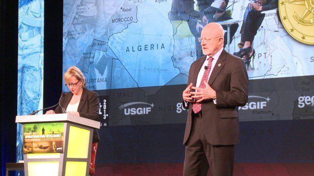
GEOINT Keynote: James Clapper, Director of National Intelligence (Part 1)
2.83K Views0 Comments0 Likes
Part 1 of the GEOINT Symposium keynote address from James Clapper, Director of National Intelligence.

4_14 Infrastructure Broadcast (Transportation Asset Management, Water Infrastructure Needs, and More)
3.51K Views0 Comments0 Likes
This infrastructure-focused GeoSpatial Stream broadcast discusses Transportation Asset Management; a report on water infrastructure; designs to protect against hurricanes; public-transit ridership; historical map archives; private infrastructure funding; news from Bluesky and Bentley Systems; rainwater-capturing infrastructure in Rotterdam, The Netherlands; and more.

4_10 GEOINT Broadcast (Special Ops Data, New Weather Satellite, GPS III and More)
4.35K Views0 Comments0 Likes
This GeoSpatial Stream broadcast discusses geospatial intelligence, its legacy and the upcoming GEOINT Symposium; a recently launched U.S. military weather satellite; GPS III developments; industry news from Headwall, Thermopylae Sciences and Technology, Trimble, Esri, DigitalGlobe, and Riegl; and more.

4_2 Infrastructure Broadcast (Landsat and Flood Risk, Cloud-Based Tools, and More)
2.73K Views0 Comments0 Likes
This infrastructure-focused GeoSpatial Stream broadcast discusses how Landsat is helping with flood risk to infrastructure; North Carolina using cloud-based property data; a Regional Road Construction Map in Spokane; industry news from Columbia Pipeline Group, Synergis, Cityworks and Bentley Systems; surveying in the British Virgin Islands; the Technology of Walking; and more.
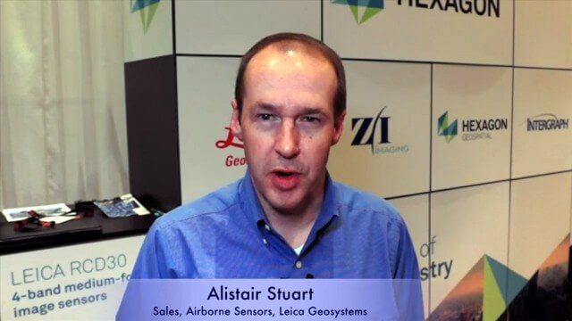
Alistair Stuart, Leica Geosystems, Interview
4.58K Views0 Comments0 Likes
Matt Ball interviews Alistair Stuart, sales of Airborne Sensors, Leica Geosystems. They discuss Leica's recent purchase of Aibotix and its Aibot X6 hexacopter. Stuart discusses the advantages of the UAS compared to other imagery vehicles in terms of cost, safety and portability.

3_31 Remote-Sensing Broadcast (Melting Ice, Deadly Air Pollution, Food Maps and More)
3.87K Views0 Comments0 Likes
This GeoSpatial Stream broadcast discusses the devastating flooding throughout Europe and how satellites are helping; the 2015 NOAA satellite budget; a new NASA imager for global precipitation; commercial remote-sensing distributors; Airbus Defense and Space and its involvement with Sentinel-5; satellites observing the formation of black holes; and more.

3_26 Climate Broadcast (Melting Ice, Deadly Air Pollution, Food Maps and More)
4.12K Views0 Comments0 Likes
This GeoSpatial Stream broadcast discusses the world's melting ice and rising seas, a WHO report stating that air pollution kills one in eight worldwide, "Cash for Clunker Maps," Food Maps, a GIS rap, and more.


