
Tag: GeoSpatial Stream
Ascend – Obstacle management solution
5.77K Views0 Comments0 Likes
Ascend XYZ in Denmark has developed a service to help airports to comply with airside safety regulations. The service uses satellites and aircraft combined with smart web-based software to record and monitor potential obstacles that encroach on restricted zones at airports and therefore pose a risk to flight safety. This project was supported within ESA's ARTES Applications programme.
12_12 Broadcast (Microsatellites, Climate Models, Dinosaurs, Odysseus and more)
4.31K Views0 Comments0 Likes
This episode of GeoSpatial Stream discusses SkyBox and microsatellites, climate models, dinosaur extinction, Odysseus and more.
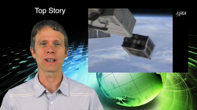
GeoSpatial Stream 11_18 (protected areas, geolocated tweets, infrastructure investment and more)
3.61K Views0 Comments0 Likes
This Daily Digest was published on 11/18/2013. Topics covered include identifying protected habitat areas, satellite imagery legislation, geolocated Tweets to reveal travel patterns, Indonesian infrastructure investment, and more.

3_26 Climate Broadcast (Melting Ice, Deadly Air Pollution, Food Maps and More)
4.12K Views0 Comments0 Likes
This GeoSpatial Stream broadcast discusses the world's melting ice and rising seas, a WHO report stating that air pollution kills one in eight worldwide, "Cash for Clunker Maps," Food Maps, a GIS rap, and more.

GeoSpatial Stream Broadcast from London
3.76K Views0 Comments0 Likes
Reporting from London, Todd Danielson covers the important announcements from the Bentley Year In Infrastructure Conference, the Bentley 500 list of top infrastructure owners worldwide, Bentley's acquisition of MOSES Software, a new columnist for Sensors & Systems, and more.
Las Vegas Broadcast 12_2 (Autodesk University, UAV economic impact, Great Barrier Reef map, ancient maps and more)
4.43K Views0 Comments0 Likes
This Daily Digest from 12/2 covers topics such as Autodesk University in Las Vegas, the economic impact of UAVs, ancient maps, imagery partnerships, climate change and more.

ikeGPS Demonstrates New Spike Device at Esri UC
4.03K Views0 Comments0 Likes
Brian Soliday, Senior VP of Sales, ikeGPS, demonstrates the company's new Spike measurement device at the 2014 Esri User Conference in San Diego. Featuring a laser, accelerometer and 3-D compass, combined with a camera and GPS, Spike provides and quick and easy way to "measure the world around you."

Jack Dangermond Addresses Climate Change and the Importance of GeoDesign (3 of 4)
9.45K Views0 Comments0 Likes
In the third of four installments, Todd Danielson interviews Jack Dangermond, President and Founder, Esri, at the 2014 Esri User Conference in San Diego. Jack talks about the Climate Resilience App Challenge, meeting the president and working on climate issues, and the importance of GeoDesign and its growing acceptance and use.
5_26 Asia Pacific Broadcast (DIWATA-1, Apple Maps and More)
2.97K Views0 Comments0 Likes
This Asia Pacific-themed GeoSpatial Stream broadcast covers the recent launch of DIWATA-1, The Philippines' first microsatellite; Australia's move toward more-accurate GNSS navigation at its airports; Apple opening a technical and support center in Hyderabad, India, for its Maps and navigation services; industry news from NTT Data, LizardTech, BJ Open Tide BoGan, Ozius Spatial and U-blox; a video clip from JAXA (in Japanese) about weather monitoring; and more.

5_22 Remote-Sensing Broadcast (Space Symposium, WorldView-3 and More)
6.32K Views0 Comments0 Likes
This GeoSpatial Stream broadcast covers a variety of remote-sensing topics, such as the recent Space Symposium in Colorado; a preview of DigitalGlobe's WorldView-3 satellite; a special report on micro-satellites; industry news from Airbus Defence and Space, BAE Systems, Teledyne, and NASA; and more.


