
Tag: GeoSpatial Stream
Vector1 Media Focuses on the Future with B2B Veterans and a Multimedia Roadmap
6.32K Views0 Comments0 Likes
Vector1 Media LLC welcomes new members Kevin Carmody and Patrick Krill, makes investments in our online platforms, including an AIA accredited continuing-education site that is coming soon, and extends the reach of multimedia throughout our different channels.
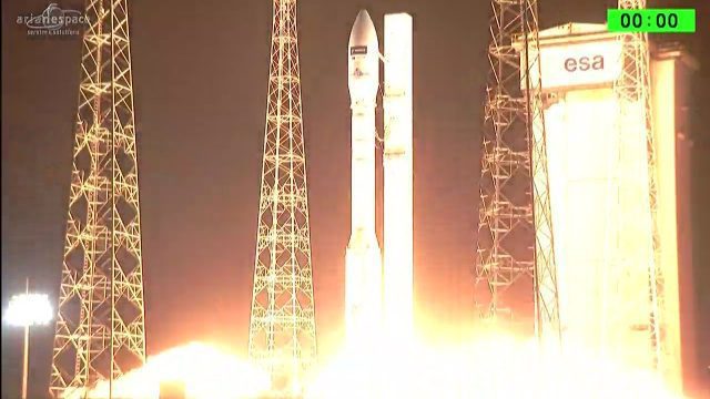
Arianespace Successfully Launches Sentinel-2B
5.95K Views0 Comments0 Likes
Arianespace has successfully launched the Sentinel-2B satellite for the European Commission within the scope of a contract with the European Space Agency (ESA).

1_6 New Year Broadcast (2014 Predictions, National Map Corps, Gaofen-1 Satellite and More)
5.89K Views0 Comments0 Likes
This GeoSpatial Stream broadcast looks at predictions for 2014, the USGS National Map Corps, China's Gaofen-1 satellite, LiDAR "capturing" Billy the Elephant and more.

7_23 Esri UC Broadcast (Video Recap, Exhibitor News and More)
5.86K Views0 Comments0 Likes
This GeoSpatial Stream broadcast covers news and events from the recent Esri User Conference in San Diego, including a video recap of speakers and topics; news from Esri on the Special Achievement in GIS Awards, its Tapestry Segmentation system and a partnership with European Schoolnet; exhibitor news from Topcon Positioning Group, Airbus Defense and Space, LizardTech and Scene Sharp; a clip from an interview with Jack Dangermond, Esri's president and founder; and more.

Exploring InfraWorks Vegas Style! Event (Short Version)
5.82K Views0 Comments0 Likes
This video is a short trailer of the full video recapping the Exploring InfraWorks (Vegas Style!) event that took place during Autodesk University 2013. A bus trip explored the use of Autodesk technology to model the infrastructure of the city of Las Vegas. VTN Consulting is the main contractor on the project.
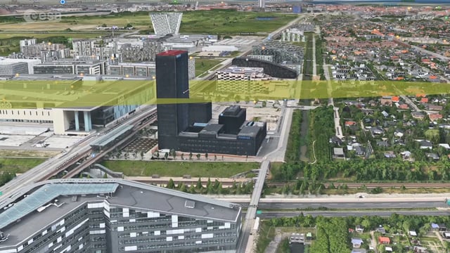
Ascend – Obstacle management solution
5.77K Views0 Comments0 Likes
Ascend XYZ in Denmark has developed a service to help airports to comply with airside safety regulations. The service uses satellites and aircraft combined with smart web-based software to record and monitor potential obstacles that encroach on restricted zones at airports and therefore pose a risk to flight safety. This project was supported within ESA's ARTES Applications programme.

6_19 Asia-Pacific Broadcast (Toxic Sites, Bird Flu Maps and More)
5.44K Views0 Comments0 Likes
This Asia-Pacific-focused GeoSpatial Stream broadcast discusses an analysis from the Global Alliance on Health and Pollution; 3D images of the Fukushima Daiichi nuclear complex; an Indonesia forestry map; bird flu maps; China's Fengyun-3C satellite; India's Bhaskaracharya Institute for Space Applications and Geoinformatics; industry headlines from AAM and JTRS Registered Surveyor, Fugro, VisionMap and Acute3D, and Supergeo; the "Poisoned Poor"; and more.
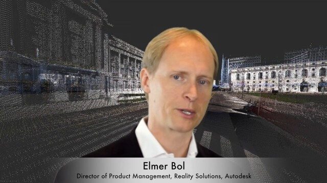
Elmer Bol Interview (Autodesk)
5.42K Views0 Comments0 Likes
Matt Ball interviews Elmer Bol, Director of Product Management, Autodesk, at SPAR International in Colorado Springs, Colo. They discuss Reality Capture solutions, evolution in the construction industry, laser scanning, Autodesk products, data capture and mining, change detection, and more.
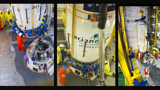
Sentinel-2B Prepared for Liftoff
5.39K Views0 Comments0 Likes
This timelapse video shows Sentinel-2B satellite, from final preparations to liftoff on a Vega launcher, flight VV09, from Europe’s Spaceport in French Guiana, on 7 March 2017.
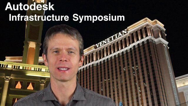
Autodesk Infrastructure Symposium (Full-Length Version)
5.32K Views0 Comments0 Likes
This video is the complete recap of the Autodesk Infrastructure Symposium held on Dec. 2, 2013, in Las Vegas, Nevada. Events covered include the General Session, a BIM Best Practices Roundtable, a Technology Showcase, a Transportation and Wet Infrastructure session, and more.


