
Tag: Daily Digest
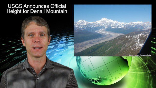
9_3 Environment Broadcast (Ocean Monitoring, Habitat Protection, Denali and More)
0 Views0 Comments0 Likes
This GeoSpatial Stream broadcast discusses ocean monitoring by the European Commission's NeXOS project; ocean-habitat monitoring off of Costa Rica, with the help of DigitalGlobe satellite imagery; a new official height for Denali Mountain; industry news from Trimble, Spatial Dimension, TerraGo, Esri, FlightAware and SimActive; a video from the EPA; and more.

7_23 Infrastructure Broadcast (AEC Market Reports, Smart Cities and More)
0 Views0 Comments0 Likes
This Infrastructure-themed GeoSpatial Stream broadcast discusses an optimistic AEC market report; a $16 billion commitment from the state of Washington for transportation improvements; a new LADOT public Web map for smart communities; laser scanning in Mexico; industry news from SmarterBetterCities, Topcon Positioning Group and PaveXpress; thoughts on seeing Informed Infrastructure in action in Chicago; and more.
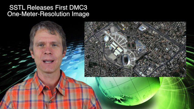
9_17 Europe Broadcast (INTERGEO, Market Reports and More)
0 Views0 Comments0 Likes
This European-themed GeoSpatial Stream broadcast discusses the INTERGEO conference in Stuttgart, Germany; a market report on the European Earth-observation industry; EU flood-disaster simulations using UAS technology; an OGC smart city pilot project; industry news from Surrey Satellite Technology, Euroconsult, PCI Geomatics, Applanix and Intergraph; and more.
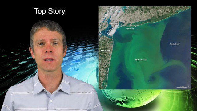
8_13 Earth Imaging Broadcast (Toxic Phytoplankton, Climate Change and More)
0 Views0 Comments0 Likes
This GeoSpatial Stream broadcast discusses the massive phytoplankton blooms along both U.S. coasts and the damage they are doing; NOAA reporting record high temperatures across the globe; NASA's CubeSat Launch Initiative; industry news from Bluesky Esri, ESA, Airbus and Harris Corp.; thoughts on toxic phytoplankton and climate change; and more.
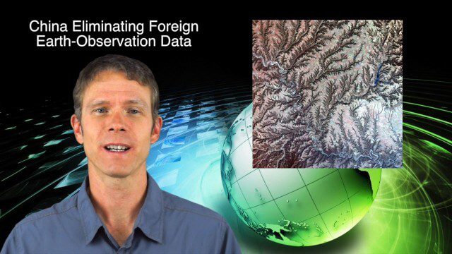
9_25 Asia-Pacific Broadcast (South China Sea, Earth Observation Data and More)
0 Views0 Comments0 Likes
This Asia-Pacific-focused GeoSpatial Stream broadcast discusses ongoing land and sea disputes in the South China Sea and how mapping is playing a role; China achieving its goal of decreasing foreign-sourced Earth-observation data; a near-miss for Vietnam's first Earth-Observation satellite; industry news from Supergeo, Esri and JSC Russian Space Systems; opinions on territorial disputes; and more.
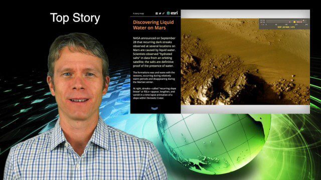
10_1 Science Broadcast (Mars Water, Neutrino and Tree Maps, and More)
0 Views0 Comments0 Likes
This GeoSpatial Stream broadcast discusses several intersections of science and geospatial technology, including NASA's announcement that Mars has liquid water; a map showing Earth's neutrinos; a video showing how scientists estimated the number of trees on Earth; industry news from exactEarth, US Topo maps, Teledyne Optech and Intergraph Government Solutions; opinions on the impact of the news from Mars; and more.
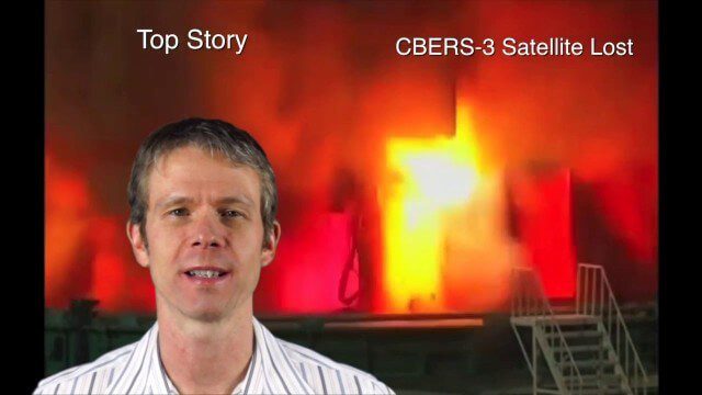
Asia-Pacific Broadcast (Remote-Sensing Satellites, East Asia Agreements, Greenhouse Mapping and More)
0 Views1 Comments0 Likes
This GeoSpatial Stream focuses on the Asia-Pacific region. Topics covered include China's failed CBERS-3 remote-sensing satellite, a joint agreement to monitor air pollution, Greenhouse mapping in India, precision agriculture in Australia and more.
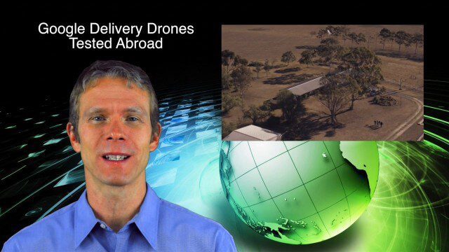
9_4 Earth Imaging Broadcast (Galileo Malfunction, Drones and More)
0 Views0 Comments0 Likes
This Earth imaging GeoSpatial Stream broadcast discusses the ESA's potentially lost Galileo navigation satellites; several instances of drones (or UAVs) making news worldwide, including from Google and Amazon; industry news from DigitalGlobe, BlackBridge and MDA, SimActive, and KEYW Corp.; URISA's GIS-Pro conference in New Orleans; subscription information; and more.
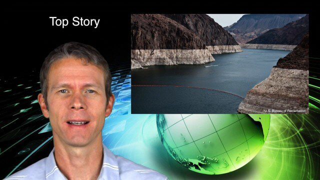
8_11 Water Resources Broadcast (Massive Groundwater Loss, Algal Blooms and More)
0 Views0 Comments0 Likes
This GeoSpatial Stream broadcast discusses a NASA study on massive groundwater loss in the Colorado River Basin; remote sensing to study algal blooms in Lake Erie; the USGS National Map Corps' latest addition; an Esri Story Map on the Football Hall of Fame; industry news from Pelydryn, Airborne Hydrography, Leica Geosystems, Geographic Technologies Group, URISA and Lockheed Martin; river pollution; and more.
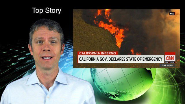
8_6 Wildfire Broadcast (Updates from California and Alaska, NASA and UN News, and More)
0 Views0 Comments0 Likes
This GeoSpatial Stream broadcast discusses the wildfires raging in California, the Pacific Northwest and especially Alaska; a NASA program to inventory Earth's surface waters; the Geovation startup hub; industry news from Esri, URISA and VisionMap; a UN video on the power of geospatial technology; and more.


