Tag: Daily Digest
7_30 Spatial Broadcast (Esri UC Highlights, NASA News and More)
0 Views0 Comments0 Likes
This GeoSpatial Stream broadcast discusses highlights from the Esri User Conference; NASA news from the Kepler mission and a near-Earth-sized planet as well as satellite data noting plankton's effects on clouds and climate; industry news from SAP, Esri, Nepal and LizardTech; thoughts on the Kepler mission and the possibilities of life beyond Earth; and more.
10_23 Europe/Africa Broadcast (INTERGEO, African Health Coverage and More)
0 Views0 Comments0 Likes
This GeoSpatial Stream broadcast discusses geospatial news and videos related to Europe and Africa, including the recent INTERGEO conference in Berlin; the One Million Community Health Workers Campaign in Sub-Saharan Africa; a European Commission commitment to invest in the data sector; industry news from Gfk, Euroconsult, Airbus Defence and Space and Spectrum Geo, and Headwall Photonics; images from the International Space Station; and more.
10_16 Asia-Pacific Broadcast (Tsunami Preparedness, NASA/India Partnerships and More)
0 Views0 Comments0 Likes
This Asia-Pacific-focused GeoSpatial Stream broadcast discusses several reports indicating that tsunami preparedness is improving in the region; a space-mission partnership between NASA and India's ISRO; the first images from China's Gaofen-2; a video from the University of South Australia's Global Sensor Network; industry news from MDA Information Systems, Esri, Xiaomi, Careland, Innovyze and Nobel Systems; and more.
10_9 Earth Imaging Broadcast (Land-Cover Change, Seafloor Maps and More)
0 Views0 Comments0 Likes
This GeoSpatial Stream broadcast discusses Earth Imaging news, including new USGS land-cover change models; new maps of the world's seafloor; NASA's Global Precipitation Measurement satellite; industry news from Rapidlasso, Sewall and Optech; an imaging drone from Intel's wearable technology contest; and more.
10_2 Climate Change Broadcast (UN Climate Summit, Tsunami Evacuation Maps and More)
0 Views0 Comments0 Likes
This GeoSpatial Stream broadcast discusses news and video from the UN Climate Summit, including President Obama announcing new geospatial tools and pledges to restore forest land; USGS developing a pedestrian tsunami-evacuation tool; industry news from exactEarth, Bentley Systems and Innovyze; a clip from the keynote address at the recent GeCo in the Rockies conference; and more.
9_25 Asia-Pacific Broadcast (South China Sea, Earth Observation Data and More)
0 Views0 Comments0 Likes
This Asia-Pacific-focused GeoSpatial Stream broadcast discusses ongoing land and sea disputes in the South China Sea and how mapping is playing a role; China achieving its goal of decreasing foreign-sourced Earth-observation data; a near-miss for Vietnam's first Earth-Observation satellite; industry news from Supergeo, Esri and JSC Russian Space Systems; opinions on territorial disputes; and more.
9_18 Climate Change Broadcast (CO2 Mapping, Open Data and More)
0 Views0 Comments0 Likes
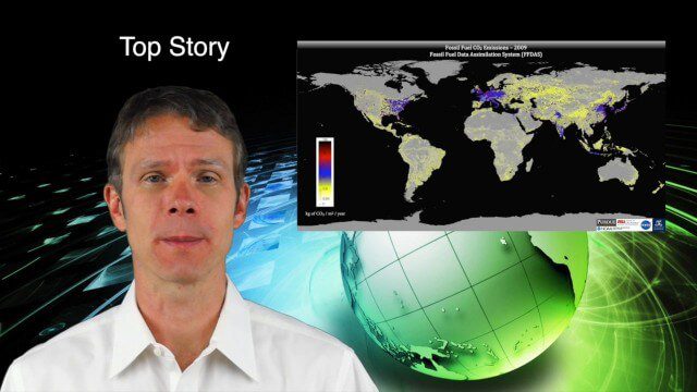
This GeoSpatial Stream broadcast discusses new research on greenhouse gas emissions worldwide; open data and sustainability innovation; a lost Russian satellite; a geospatial search engine from the U.S. Library of Congress; industry news from Cadcorp, Bentley Systems, Esri and Innovyze; opinions on the recent URISA GIS-Pro conference; and more.
9_4 Earth Imaging Broadcast (Galileo Malfunction, Drones and More)
0 Views0 Comments0 Likes
This Earth imaging GeoSpatial Stream broadcast discusses the ESA's potentially lost Galileo navigation satellites; several instances of drones (or UAVs) making news worldwide, including from Google and Amazon; industry news from DigitalGlobe, BlackBridge and MDA, SimActive, and KEYW Corp.; URISA's GIS-Pro conference in New Orleans; subscription information; and more.
8_21 Climate Change Broadcast (New NASA Instruments, Ice Sheets and More)
0 Views0 Comments0 Likes
This GeoSpatial Stream broadcast discusses the latest news on climate change, including new NASA monitoring instruments for the International Space Station and ESA's CryoSat mission to measure ice-sheet loss; a U.S. Army Corps of Engineers call for infrastructure improvements in the Mississippi River Watershed; Maps.com and its new Field Trip Library educational series; industry news from American Sentinel University, Nokia HERE and Apple; a LiDAR video from the National Ecological Observatory Network on monitoring trees; and more.
8_11 Water Resources Broadcast (Massive Groundwater Loss, Algal Blooms and More)
0 Views0 Comments0 Likes
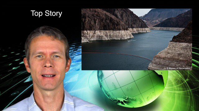
This GeoSpatial Stream broadcast discusses a NASA study on massive groundwater loss in the Colorado River Basin; remote sensing to study algal blooms in Lake Erie; the USGS National Map Corps' latest addition; an Esri Story Map on the Football Hall of Fame; industry news from Pelydryn, Airborne Hydrography, Leica Geosystems, Geographic Technologies Group, URISA and Lockheed Martin; river pollution; and more.

