


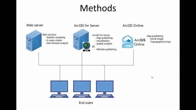
Category: Esri

2015 Audubon Medal Awardees: Jack and Laura Dangermond
3.29K Views0 Comments0 Likes
Jack and Laura Dangermond launched Environmental Systems Research Institute (Esri) in 1969 with a vision of how maps and geographic sciences could promote deeper understanding of our world and enable us to design a better future. The Dangermonds have since donated more than a billion dollars in geo-spatial, analytical, and visualization technology to research institutions, schools, and nonprofit organizations, equipping these groups with the same GIS tools that drive the strategies of Fortune 500 companies.

Smart Mapping from Esri
3.18K Views0 Comments0 Likes
Smart Mapping is an exciting new capability in ArcGIS Online that will change how you make maps.
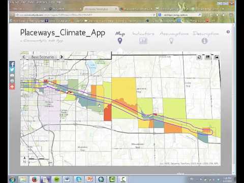
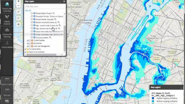
CommunityViz Web App
3.08K Views0 Comments0 Likes
Providing users with the ability to open new opportunities for education, citizen engagement, and policy change, the app enables users to quickly share their analysis results—such as energy and greenhouse gas generation and possible energy futures—with their ArcGIS Online organization, select groups, or the general public.
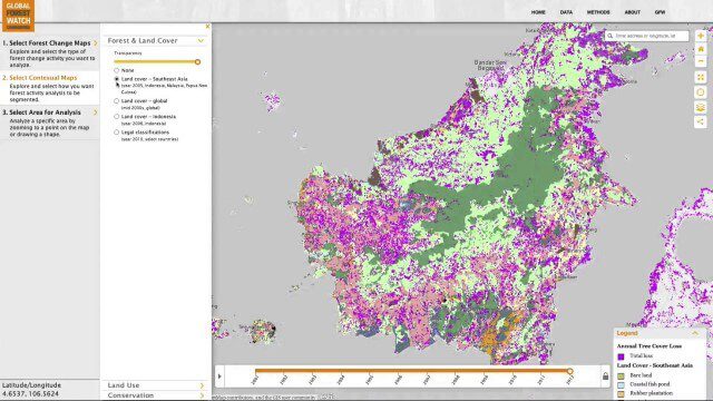
Global Forest Watch Commodities—Geospatial Tools to Help Reduce Greenhouse Gas Emissions from Land-Use Change
3.02K Views0 Comments0 Likes
This app provides three tools for businesses interested in good forest management: Suitability Mapper, which enables businesses to identify degraded areas best suited for commodity development as an alternative to clearing new forest areas; Forest Analyzer, which provides information on land cover and land use to monitor and evaluate change to forests on commodity concessions; and Roundtable on Sustainable Palm Oil (RSPO) Support tool, which users can complete for an analysis of forest change on certified areas and use the analysis for the compensation procedure required by RSPO while also enabling commodity buyers to make informed sourcing decisions.
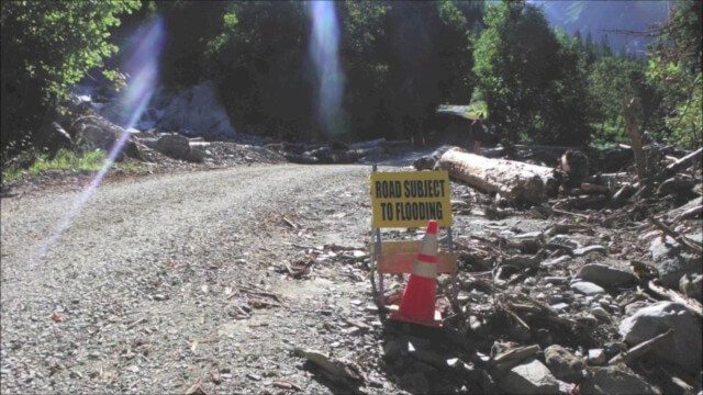
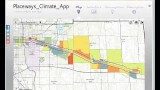
Culvert Inventory for Climate Resilience
2.60K Views0 Comments0 Likes
Designed to meet the challenge of limited information on culverts throughout the transportation network, the app provides a user-friendly culvert inventory template, online video instructions, and support for citizen scientists to help transportation management agencies expand their knowledge of the culverts in their network.
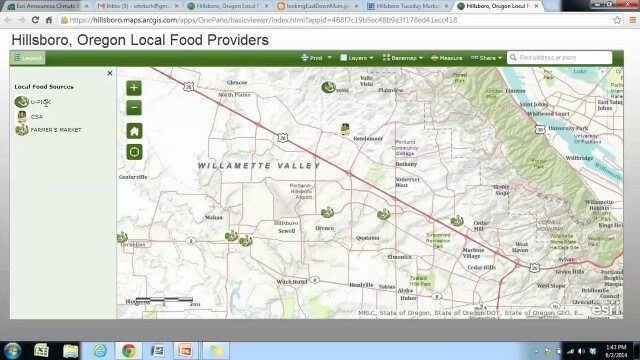
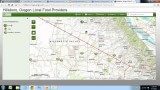
Local Food Alternatives in Washington County
2.59K Views0 Comments0 Likes
The app provides information on the availability of local and seasonal produce from nearby farms, markets, and vendors to empower Washington County consumers to reduce their carbon footprint and support their local community.
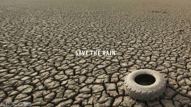
Save the Rain
2.32K Views0 Comments0 Likes
Users are able to make smarter choices and save water when it is available. The next time it rains, users can capture rainwater that lands on their homes and use it again to water plants, trees, and lawns; wash cars; and even flush toilets.
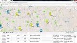
Community Resilience Inference Measurement
2.27K Views0 Comments0 Likes
Measuring resilience to climate-related hazards at the county level for the United States, the app allows users to directly calculate the resilience index of places they choose and view the weights of the socioeconomic factors contributing to those scores. The app also provides factors that increase or decrease resilience.

RideAmigos UNITY
2.26K Views0 Comments0 Likes
Uniting entities that create the data needed to provide rich visualizations and insights into commuter habits globally, Unity enables unlimited public and private networks within a region to create behavioral changes and eliminate traffic by allowing users to sync data to Esri ArcGIS software for modal analysis. Users can also explore how each mode contributes to greenhouse gas emissions and climate change.
Coastal Resilience 2.0
2.12K Views0 Comments0 Likes
Providing tools to reduce ecological and socioeconomic risks of coastal hazards, the app enables users to assess such risks, including those to current and future storms, as well as sea level rise scenarios; identify solutions to reduce risks across socio-ecological systems; take action to help communities develop nature-based solutions; and measure effectiveness to ensure efforts are successful.


