


Category: Esri

Geodesign Summit 2015: Speaker Highlights
0 Views0 Comments0 Likes
The Geodesign Summit 2015 featured a variety of speakers and topics focused on designing a better and smarter built environment. This video produced by GeoSpatial Stream highlights some of the best, funniest and most thought-provoking moments.

Geodesign Summit 2015: The Words of Jack Dangermond
0 Views0 Comments0 Likes
The Geodesign Summit 2015 featured a variety of speakers and topics focused on designing a better and smarter built environment. This video produced by GeoSpatial Stream highlights key thoughts and ideas from Esri President and Founder Jack Dangermond.
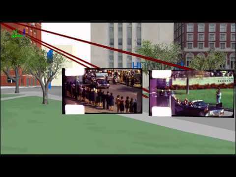
Geography and the Assassination of President Kennedy
0 Views0 Comments0 Likes
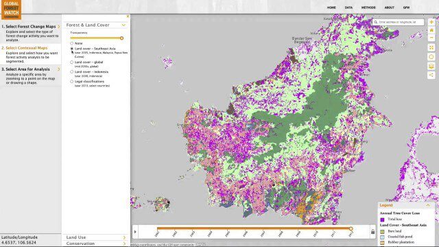
Global Forest Watch Commodities—Geospatial Tools to Help Reduce Greenhouse Gas Emissions from Land-Use Change
0 Views0 Comments0 Likes
This app provides three tools for businesses interested in good forest management: Suitability Mapper, which enables businesses to identify degraded areas best suited for commodity development as an alternative to clearing new forest areas; Forest Analyzer, which provides information on land cover and land use to monitor and evaluate change to forests on commodity concessions; and Roundtable on Sustainable Palm Oil (RSPO) Support tool, which users can complete for an analysis of forest change on certified areas and use the analysis for the compensation procedure required by RSPO while also enabling commodity buyers to make informed sourcing decisions.
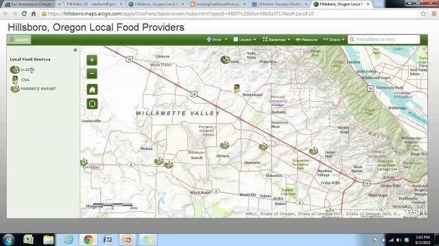
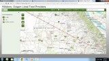
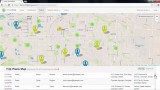
Local Food Alternatives in Washington County
0 Views0 Comments0 Likes
The app provides information on the availability of local and seasonal produce from nearby farms, markets, and vendors to empower Washington County consumers to reduce their carbon footprint and support their local community.

Minnesota Solar Suitability Analysis
0 Views0 Comments0 Likes
This app enables users to identify the suitability of a location for solar panel installations by locating their home or current location and querying solar analysis data.
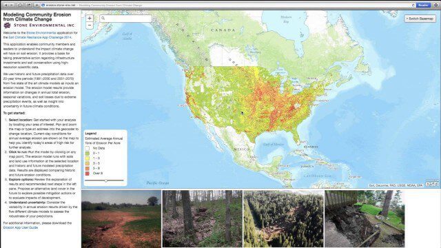
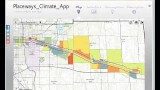
Modeling Community Erosion from Climate Change
0 Views0 Comments0 Likes
Based on modeling current and future soil erosion with high-resolution scientific data, the app allows users to locate sites that are vulnerable to erosion, predicts soil loss driven by climate change, and enables users to investigate erosion risks for future land covers.

RideAmigos UNITY
0 Views0 Comments0 Likes
Uniting entities that create the data needed to provide rich visualizations and insights into commuter habits globally, Unity enables unlimited public and private networks within a region to create behavioral changes and eliminate traffic by allowing users to sync data to Esri ArcGIS software for modal analysis. Users can also explore how each mode contributes to greenhouse gas emissions and climate change.
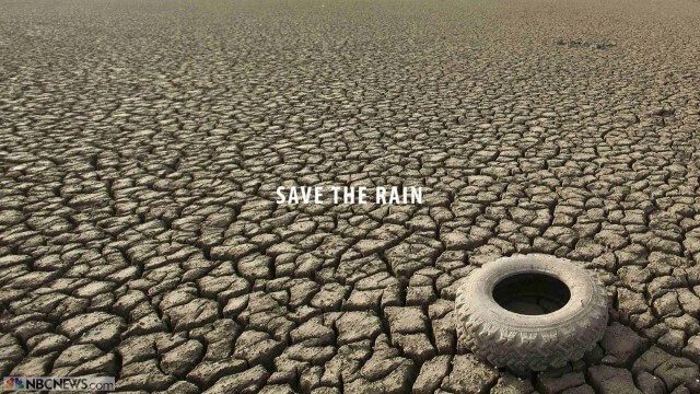
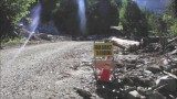
Save the Rain
0 Views0 Comments0 Likes
Users are able to make smarter choices and save water when it is available. The next time it rains, users can capture rainwater that lands on their homes and use it again to water plants, trees, and lawns; wash cars; and even flush toilets.

Smart Mapping from Esri
0 Views0 Comments0 Likes
Smart Mapping is an exciting new capability in ArcGIS Online that will change how you make maps.


