


Category: Found on the Internet
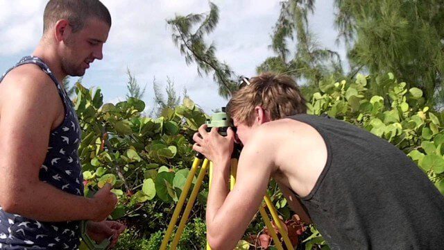
Surveying, Mapping and GIS Expedition to British Virgin Islands
2.61K Views0 Comments0 Likes
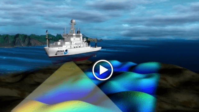
NOAA’s SoundScapes
2.04K Views0 Comments0 Likes
In this episode: in less than three minutes, this video presents the basics about multibeam and side scan sonar, including a visualization that shows how sonar data is used to make products like nautical charts.

“National Geographic” Time Scanners Jerusalem
3.09K Views0 Comments0 Likes
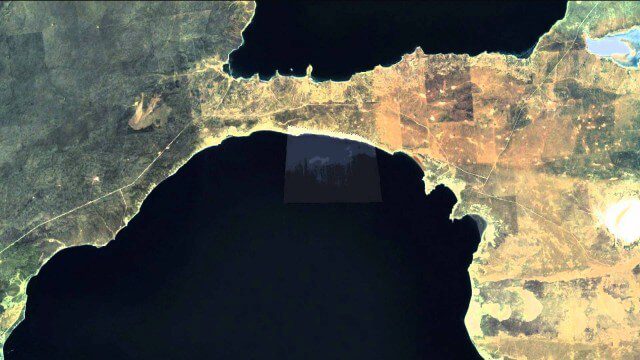
Satellites help spot whales
3.74K Views0 Comments0 Likes
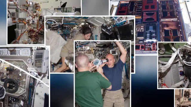
International Space Station Gets a Ten-Year Extension
2.49K Views0 Comments0 Likes

ReROLL Game Using Geotech
1.76K Views0 Comments0 Likes

Roger Tomlinson Tribute (Excerpt)
2.60K Views0 Comments0 Likes

Kids Making Sense Environment Mapping
2.73K Views0 Comments0 Likes
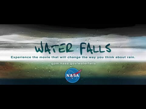
NASA | WATER FALLS Movie Trailer
2.22K Views0 Comments0 Likes
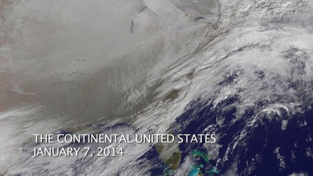
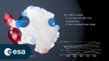
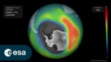
The Polar Vortex Explained in 2 Minutes
2.11K Views0 Comments0 Likes


