


Category: Found on the Internet
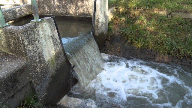
Digital Delta transforms Dutch water system using Big Data
2.43K Views0 Comments0 Likes
This video introduces IBM Smarter Water Management solutions running on IBM Intelligent Water software to address Flood and Natural Resource Management. This solution provides the Dutch Water authorities a breakthrough innovation program to harness insights from Big Data and transform flood control and management of the entire Dutch water system.
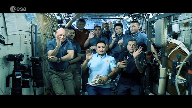
Destination Low Earth Orbit
1.45K Views0 Comments0 Likes
ESA astronaut Andreas Mogensen narrates this video on the inspiring endeavours of human spaceflight and how it changes our daily lives.

CubeSat to Test Miniaturized Weather Satellite
2.99K Views0 Comments0 Likes
Behind every weather forecast—from your local, five-day prediction to a late-breaking hurricane track update—are the satellites that make them possible.
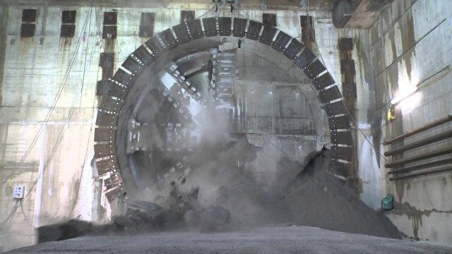
Crossrail Tunnelling: Drone’s Eye View of Crossrail’s Completed Rail Tunnels
1.94K Views0 Comments0 Likes
The Prime Minister and Mayor of London Boris Johnson celebrated the completion of Crossrail’s tunnels by going 40 metres below the capital to thank the men and women who are constructing the new £14.8 billion east-west railway.
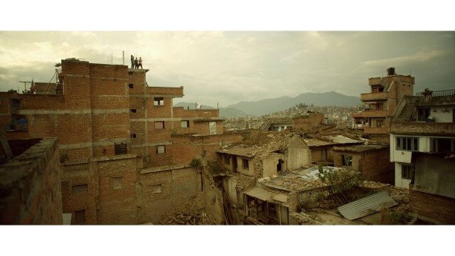
Crisis Mapping in Nepal
1.87K Views0 Comments0 Likes
On the 25th of April, Nepal was hit by the worst earthquake the small, mountainous country had ever seen. Leaving thousands dead and hundreds of thousands displaced, the Ghorka Earthquake as it would become known, uprooted not only cities and villages, but homes and families that had existed in the mountains for centuries. So what could we do to help? Teaming up with with Humanitarian UAV Network “UAViators”, Open Street Map specialists “Kathmandu Living Labs”, 3D Mapping organization, “Pix4D”, smartphone manufacturer “Smartisan” and Kathmandu University, DJI got to work on a plan, a plan that drew together some of the best and brightest of the UAV industry for a life-changing experience.
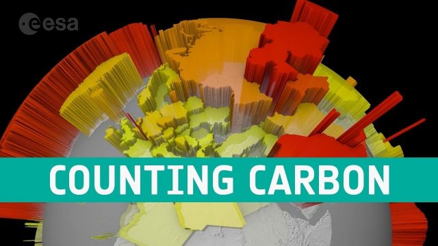
Counting Carbon
202 Views0 Comments0 Likes
As well as tracking atmospheric carbon, ESA’s Climate Change Initiative is using satellite observations to track other carbon stocks on land and sea.
Corridor Mapping in Germany
798 Views0 Comments0 Likes
Above Highway A33, the mdMapper1000DG was tasked with creating a point cloud and orthophoto of a 12 kilometer stretch of the Autobahn.
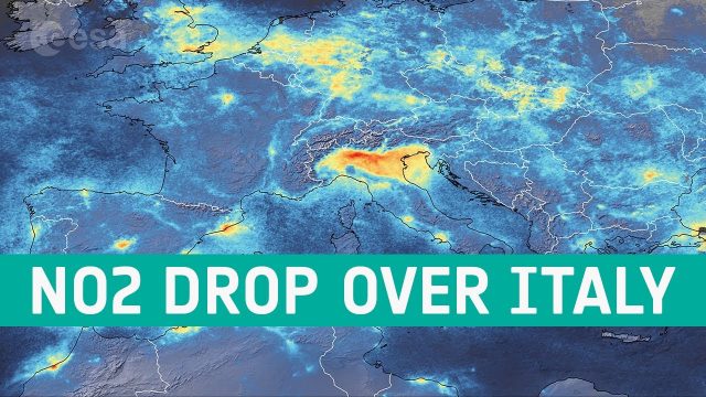
Coronavirus: Nitrogen Dioxide Emissions Drop over Italy
1.39K Views0 Comments0 Likes
New data from the Copernicus Sentinel-5P satellite reveal the decline of air pollution, specifically nitrogen dioxide emissions, over Italy. This reduction is particularly visible in northern Italy which coincides with its nationwide lockdown to prevent the spread of the coronavirus.
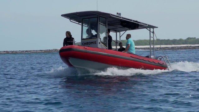
CORAL Probes Great Barrier Reef
1.58K Views0 Comments0 Likes
The three-year COral Reef Airborne Laboratory (CORAL) mission will survey a portion of the world's coral reefs to assess the condition of these threatened ecosystems and understand their relation to the environment, including physical, chemical and human factors.
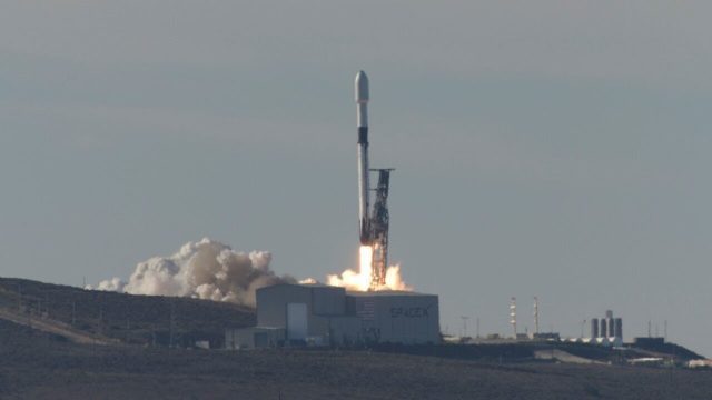
Copernicus Sentinel-6 Michael Freilich Liftoff Replay
523 Views0 Comments0 Likes
Watch the replay of Copernicus Sentinel-6 Michael Freilich lifting off from the Vandenberg Air Force Base, Calif., on Nov. 21, 2020. Copernicus Sentinel-6 Michael Freilich is the first of two identical satellites to provide critical measurements of sea-level change.


