


Category: Found on the Internet
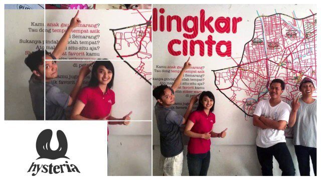
Story of Hysteria, Ushahidi Chapter on Semarang
1.80K Views0 Comments0 Likes
How an artist collective in Semarang, Indonesia is using Ushahidi to improve citizen participation in government and reshaping our mission.
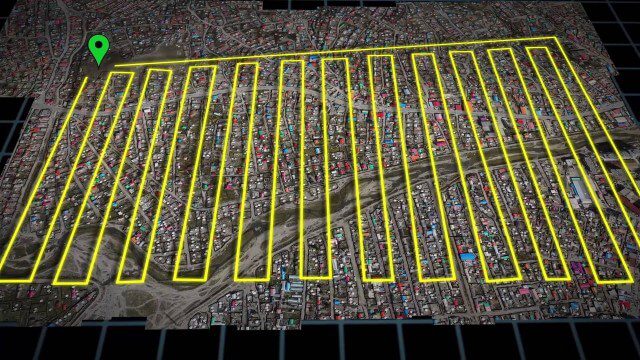
UAV-Based Aerial Mapping of Ulaanbaatar
1.81K Views0 Comments0 Likes
Working with the City of Ulaanbaatar, The Asia Foundation collected high-quality imagery and elevation data for the city using Unmanned Aerial Vehicles (UAVs) and earth-imaging satellites. These high-resolution images were used to create detailed maps complete with elevation data; labeled neighborhoods, roads, buildings, landmarks, and other features.
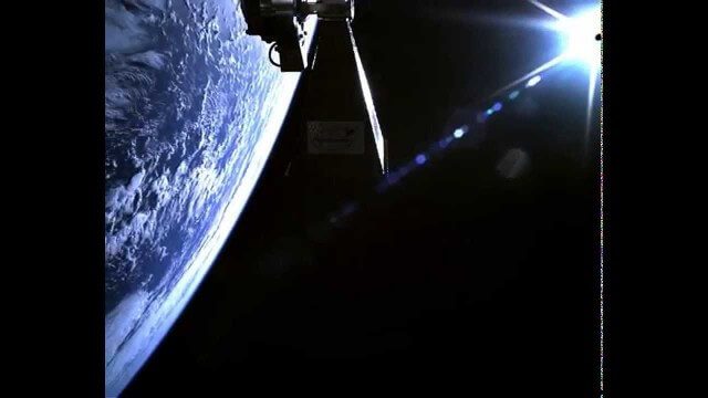
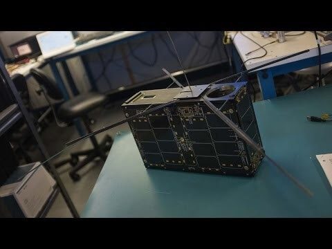
TechDemoSat-1 in Orbit Video
1.81K Views0 Comments0 Likes
Video taken in-orbit on 8 July 2014 using an inspection camera on-board the TechDemoSat-1 satellite starting about 30 seconds after separation from the launcher. At 6 seconds the Sun appears at the top of the frame as a very bright white flare, before the rotation of the satellite reveals a view of Earth below, of the Pacific Ocean south of French Polynesia.
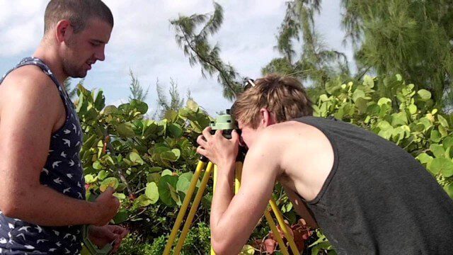
Surveying, Mapping and GIS Expedition to British Virgin Islands
1.81K Views0 Comments0 Likes
Surveying, Mapping and GIS Expedition to British Virgin Islands
Can the Next Generation of Satellites Help Predict and Battle Wildfires?
1.82K Views0 Comments0 Likes
Re/code visits NASA's Silicon Valley research center, where a pair of startups are working together to democratize satellite data. Aquila Space is building a fleet of satellites while its partner Astro Digital is developing software tools that allow anyone to process and analyze the data. Among other things, the information could be used to help inform policy and responses for ecological disasters, including the droughts and wildfires plaguing California.
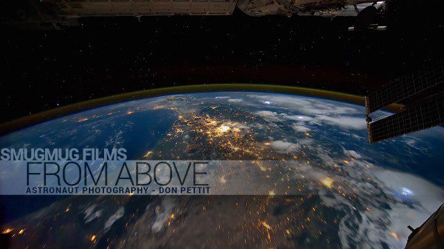
From Above – Astronaut Photography with Don Pettit
1.83K Views0 Comments0 Likes
You've never seen space like this. This short film gives an inside look at how NASA Astronaut Don Pettit captures breathtaking images of Earth's most famous phenomena - aurora, star trails, city lights, and more - from the inside the International Space Station.
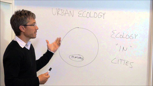
Urban Ecology
1.85K Views0 Comments0 Likes
An assistant professor at the New School in New York discusses and explains urban ecology.
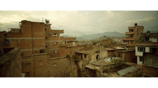
Crisis Mapping in Nepal
1.87K Views0 Comments0 Likes
On the 25th of April, Nepal was hit by the worst earthquake the small, mountainous country had ever seen. Leaving thousands dead and hundreds of thousands displaced, the Ghorka Earthquake as it would become known, uprooted not only cities and villages, but homes and families that had existed in the mountains for centuries. So what could we do to help? Teaming up with with Humanitarian UAV Network “UAViators”, Open Street Map specialists “Kathmandu Living Labs”, 3D Mapping organization, “Pix4D”, smartphone manufacturer “Smartisan” and Kathmandu University, DJI got to work on a plan, a plan that drew together some of the best and brightest of the UAV industry for a life-changing experience.

NASA: A Year in the Life of Earth’s CO2
1.87K Views0 Comments0 Likes
An ultra-high-resolution NASA computer model has given scientists a stunning new look at how carbon dioxide in the atmosphere travels around the globe.
Making Forest Information Systems Work for REDD+ and Beyond
1.89K Views0 Comments0 Likes
Watch this discussion forum from the second day of the Global Landscapes Forum 2014, in Lima, Peru, during COP20. More and more countries have established and institutionalized sustainable, long-term and multi-purpose information systems in the context of REDD+ to support well-informed national policy formulation and decision making at different levels, and to meet national and international reporting needs. This panel discusses if they are used beyond estimating carbon stocks, how they improve global estimates and information, and how they can be most cost effective.


