


Category: Found on the Internet

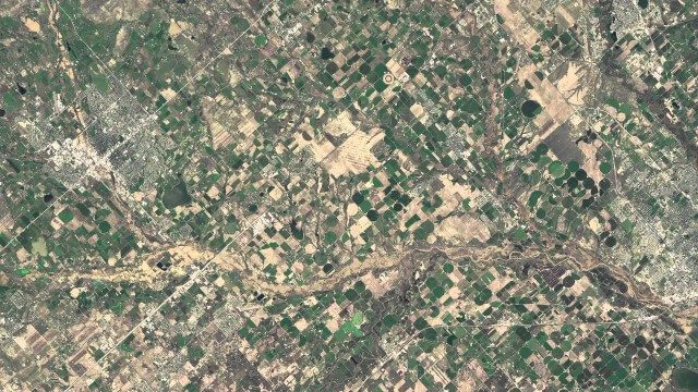
Understanding GIS – An Overview
1.55K Views0 Comments0 Likes
Geographic Information Systems are used by professionals and academics all over the world to investigate problems ranging from the spread of disease to the damage caused by hurricanes. Learn more about the University of Michigan-Flint's GIS Certificate by visiting umflint.edu/gis/gis-center

Two Decades of Rain, Snowfall from NASA’s Precipitation Missions
1.55K Views0 Comments0 Likes
NASA’s Precipitation Measurement Missions (PMM) have collected rain and snowfall from space for nearly 20 years, and for the first time in 2019, scientists can access PMM’s entire record as one data set.
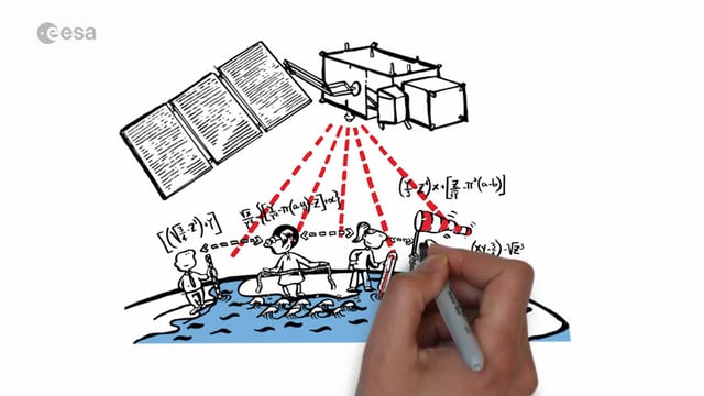
Sentinel-3 for Oceans
1.56K Views0 Comments0 Likes
In honor of the launch of Sentinel-3A on Feb. 16, 2016, here's a video about the satellite: Covering 70% of the planet, the oceans are directly linked to our weather and climate. They are also essential for global transport and provide a wealth of resources. What happens far out to sea has a direct effect on societies all over the world. Sentinel-3 provides crucial observations of our oceans, helping us to understand the overall health of our planet.
NASA | Earth from Orbit 2013
1.57K Views0 Comments0 Likes
A fleet of orbiting satellites monitors Earth constantly. The satellites from NASA and other space agencies give us a fresh, wide perspective on things that we can see from the ground -- and things that we can't.
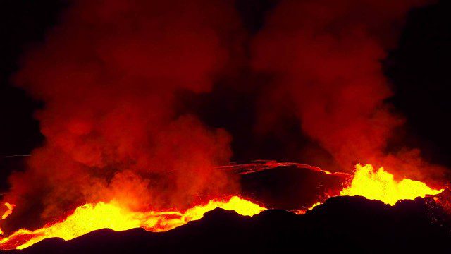
Drones Capture Images of Erupting Iceland Volcano, Part 2
1.57K Views0 Comments0 Likes
A companion piece to the first DJI Feat, which takes viewers on a journey close to the active lava eruptions of the Bardarbunga volcanic system in remote Iceland. Footage was captured with DJI Phantom 2 quadcopters using Lightbridge for wireless, high-definition remote video.
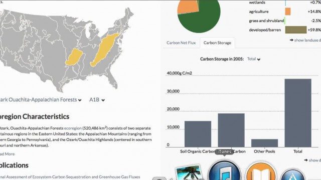
USGS LandCarbon Viewer Tutorial
1.58K Views0 Comments0 Likes
This video, narrated by USGS scientist Brad Reed, provides a brief tutorial on the use of the USGS LandCarbon Viewing tool.
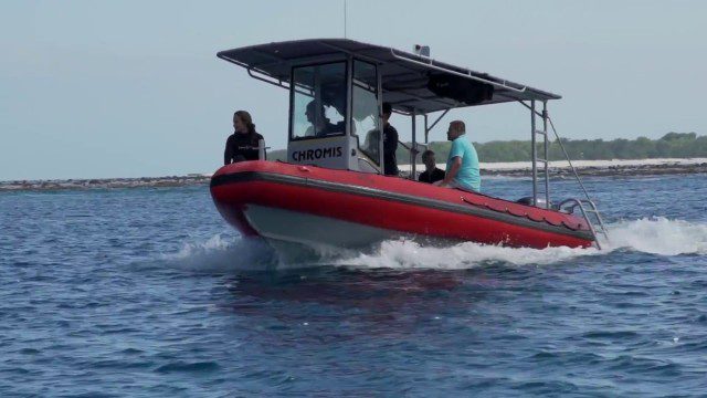
CORAL Probes Great Barrier Reef
1.58K Views0 Comments0 Likes
The three-year COral Reef Airborne Laboratory (CORAL) mission will survey a portion of the world's coral reefs to assess the condition of these threatened ecosystems and understand their relation to the environment, including physical, chemical and human factors.
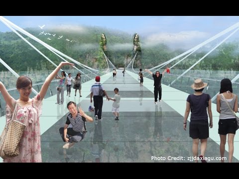
Safety Test of World’s Longest Glass Bridge
1.60K Views0 Comments0 Likes
The world's highest and longest glass bridge, Zhangjiajie Grand Canyon Glass Bridge, opened to the public on Aug. 20, 2016. It offers a way to enjoy a panoramic view of the stunning Zhangjiajie Grand Canyon — if you dare to walk on it!
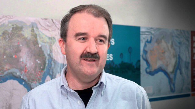
Translating Airborne Electromagnetic Data into Geological Understanding
1.61K Views0 Comments0 Likes
In this Geoscience Australia Snapshot video, Dr Ian Roach from Geoscience Australia gives an overview of the benefits of using airborne electromagnetic (AEM) survey data. This survey technique is a key tool for mapping geology undercover and has potential implications for understanding the energy, minerals and regional geology of the survey area.
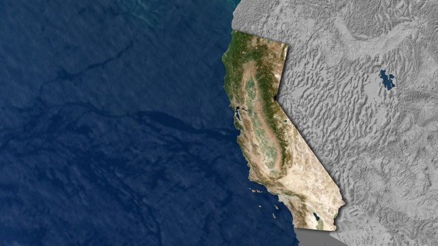
Open California: Our Data, Your Creativity
1.64K Views0 Comments0 Likes
We're releasing our growing California archive under an a CC BY-SA license. Join our community of image analysts, scientists, developers, and researchers: https://www.planet.com/open-california/


