


Category: Found on the Internet

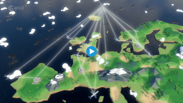
Air Quality: What’s Space Got to Do with It?
0 Views0 Comments0 Likes
Governments and decision-makers rely heavily on satellite data and computer models to show how pollution accumulates and how it is carried in the air so that they can develop appropriate mitigation strategies.
Earth from Space: Egyptian Crop Circles
0 Views0 Comments0 Likes
In this week's edition of the Earth from Space programme, we take a look at the agricultural development in the Western Desert of Egypt.
Helping Businesses and Communities Better Cope with Extreme Weather
0 Views0 Comments0 Likes
The U.S. Department of Energy's Argonne National Laboratory is helping organizations – including AT&T – and communities better prepare for and adapt to the impacts of climate change and extreme weather events.
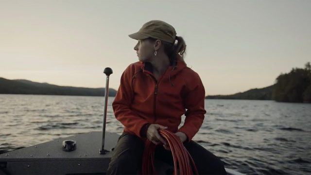
Jefferson Project Year Five
0 Views0 Comments0 Likes
The Jefferson Project is a sophisticated technological approach to studying fresh water, with a goal of understanding the impact of human activity on fresh water, and how to mitigate those effects.
Iris: SATCOM for Aviation
0 Views0 Comments0 Likes
Iris will provide a safe and secure text-based data link between pilots and air-traffic control networks using satellite technology.
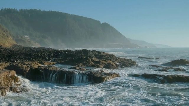
The YEARS Project: Warming Oceans
0 Views0 Comments0 Likes
Scientists have discovered that the world's oceans are warming 40% faster than we thought. That has dire implications for sea creatures and people.

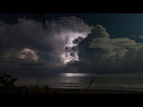
Five Years of GPM Storms
0 Views0 Comments0 Likes
On Feb. 27, 2019, we celebrated five years in orbit for the NASA/JAXA Global Precipitation Measurement mission (GPM).
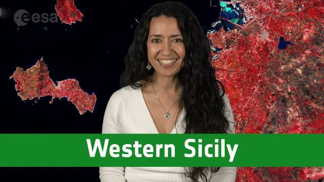
Earth from Space: Western Sicily
0 Views0 Comments0 Likes
In this week's edition of the Earth from Space program, the Copernicus Sentinel-2A satellite takes us over western Sicily and the islands of Favignana and Levanzo in Italy.
NASA Finds Second Massive Greenland Crater
0 Views0 Comments0 Likes
A NASA-led team discovered the feature using satellite data of the surface of the Greenland Ice Sheet as well as radar measurements from the airborne campaign Operation IceBridge.
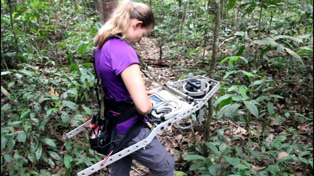
Measuring Forest Structure through a Lidar Lens
0 Views0 Comments0 Likes
Companion video of a New Phytologist paper "Seasonal and drought related changes in leaf area profiles depend on height and light environment in an Amazon forest."


