Category: Infrastructure
1_15 Infrastructure Broadcast (Geodesign Summit, Road Maintenance and More)
0 Views0 Comments0 Likes
This Infrastructure-themed GeoSpatial Stream broadcast discusses the impending road-maintenance crisis worldwide as well as possible new spending initiatives; U.S. DOT grants to strengthen commercial vehicle safety via intelligent transportation systems; a new "drive by" heat-mapping system; industry news from USGIF, Esri, Innovyze and FARO; a video from the 2014 Geodesign Summit in anticipation of this year's event; and more.
2_11 Infrastructure Broadcast (DOT Budget, Rebuilding Schools and More)
0 Views0 Comments0 Likes
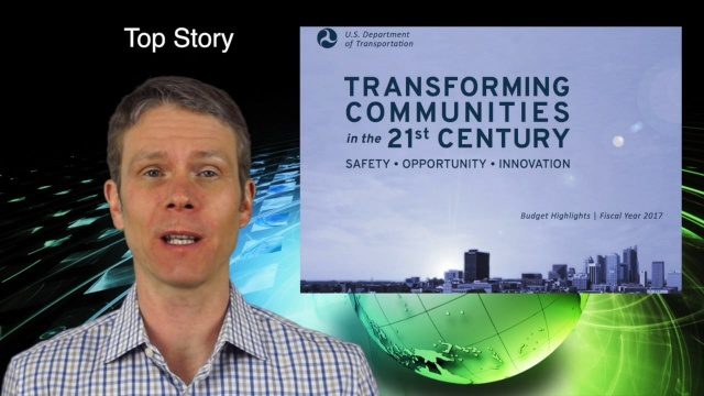
This Infrastructure-themed GeoSpatial Stream broadcast discusses the FY2017 U.S. Department of Transportation budget; Los Angeles' new GeoHub; Miyamoto Relief engineering work at schools in Nepal; industry news from Autodesk, Abvent, TerraGo, Cadcorp and Topcon; two new infrastructure posting from V1 Media; and more.
12_11 Infrastructure Broadcast (Autodesk University, Bentley Webcast and More)
0 Views0 Comments0 Likes
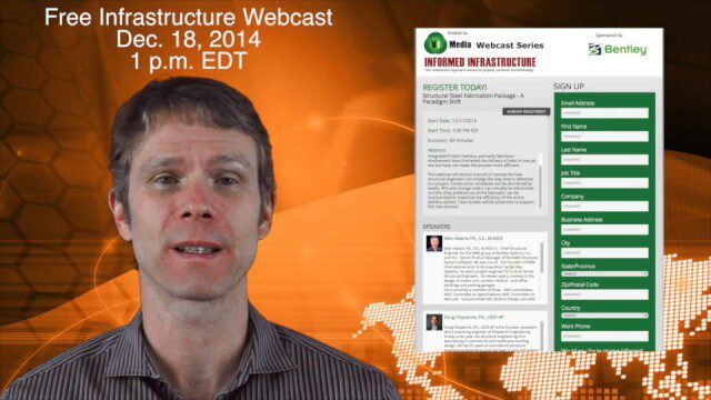
This GeoSpatial Stream broadcast discusses infrastructure news and videos, including highlights from Autodesk University (AU) in Las Vegas; a Bentley Systems/Informed Infrastructure Webcast on Steel Fabrication; The Nature Conservancy's Urban Water Blueprint; industry news from Topcon Positioning Group, Intergraph and Mott MacDonald; video clips from AU keynotes; and more.
AEC from Home: Tips from Leading Professionals Adjusting to Work During the COVID-19 Pandemic
0 Views0 Comments0 Likes
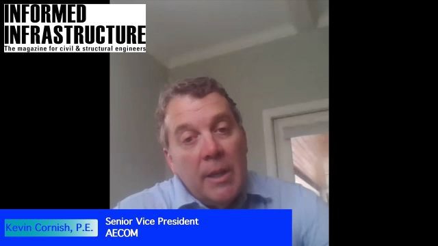
In May 2020, Informed Infrastructure Editorial Director Todd Danielson interviewed three leaders of AEC firms to learn how they’re adjusting to the “new normal” and help pass along some of the tips and lessons learned from their experiences in early 2020.
6_25 Infrastructure Broadcast (London’s Crossrail, DOT Grants and More)
0 Views0 Comments0 Likes
This infrastructure-themed GeoSpatial Stream broadcast discusses London's massive Crossrail project, Bentley's involvement in its BIM practices, and the completion of its tunnel boring; U.S. DOT grants to reduce traffic congestion; Canada's massive New Champlain Bridge project; an interview with HOK's Patrick MacLeamy; industry news from Remote GeoSystems, Esri, IMAGINiT Technologies, Pix4D, Innovyze, Flightline Geographics and Tablerock Land Survey; thoughts on Crossrail and the world's longest tunnel; and more.


