


Category: Conference Interviews

Why You Should Attend Geodesign Summit 2016
5.16K Views0 Comments0 Likes
This faced-paced music video from GeoSpatial Stream highlights some of the best moments of the 2015 event, illustrating why you should register for and attend the next event, being held Jan. 27-28, 2016, in Redlands, Calif. For more information and to register, visit www.geodesignsummit.com.

Geodesign Summit 2015: Attendee Feedback
5.23K Views0 Comments0 Likes
The Geodesign Summit 2015 featured a variety of speakers and topics focused on designing a better and smarter built environment. This video produced by GeoSpatial Stream presents immediate feedback from attendees describing what geodesign means to them and how they plan to apply what they learned at the event to their jobs and lives.

Geodesign Summit 2015: The Words of Jack Dangermond
4.01K Views0 Comments0 Likes
The Geodesign Summit 2015 featured a variety of speakers and topics focused on designing a better and smarter built environment. This video produced by GeoSpatial Stream highlights key thoughts and ideas from Esri President and Founder Jack Dangermond.

Geodesign Summit 2015: Speaker Highlights
3.69K Views0 Comments0 Likes
The Geodesign Summit 2015 featured a variety of speakers and topics focused on designing a better and smarter built environment. This video produced by GeoSpatial Stream highlights some of the best, funniest and most thought-provoking moments.
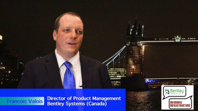
Introducing a Completely New Civil Conceptual Design Tool
3.08K Views0 Comments0 Likes
The V1 Video team interviewed Francois Valois at the 2015 Bentley Year in Infrastructure Conference in London in early November. Valois is director of product management at Bentley Systems, working on their new OpenRoads ConceptStation software, and he spoke about the workflow and the software's capabilities with its new easy-to-use interface, rules-based design tools, cost-based analysis and rich visualization.

Factoring in Project Costs During Design
3.17K Views0 Comments0 Likes
The V1 Video team interviewed Dustin Parkman at the 2015 Bentley Year in Infrastructure Conference in London in early November. Parkman, vice president of product development at Bentley Systems for their road, rail and site products, spoke about the company's new OpenRoads ConceptStation software with a focus on some of the unique benefits.

Harnessing Machine Learning to Make Sense of the Physical World
3.00K Views0 Comments0 Likes
The V1 Video team spoke to Stuart Feffer, co-founder and CEO of Reality Analytics about the company’s application of artificial intelligence and machine learning to sensor inputs. The company has a background in research and development for military customers and they’re now rolling out products and services based on that legacy.
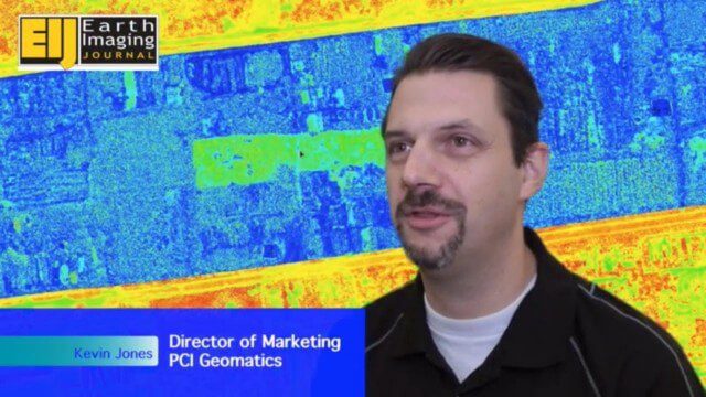
Automating UAS Data Processing to Understand Change
2.33K Views0 Comments0 Likes
The V1 Video team spoke to Kevin Jones, the director of marketing for PCI Geomatics, about the company’s software to extract information from imagery. The commercial UAS market is a promising input to their image-processing tools, particularly with their automated information-extraction tools, to detect changes.
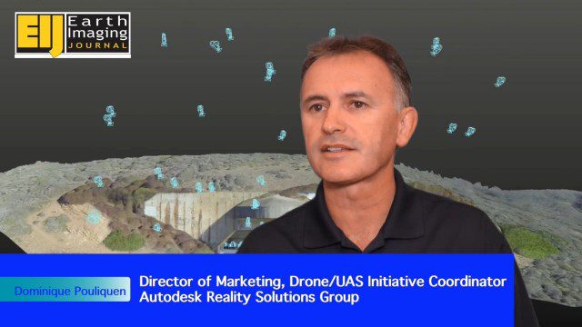
Autodesk Enabling Automated UAV Data Processing in the Cloud
2.09K Views0 Comments0 Likes
The V1 Video team spoke to Dominique Pouliquen, director of marketing and Drone/UAS Initiative Coordinator for Autodesk’s Reality Systems Group, about his group’s focus on bridging sensor inputs with the company’s extensive line of design and engineering software. They are breaking down the barrier for UAV users to process and create products that are aligned to specific applications such as construction monitoring, mining and cultural heritage.
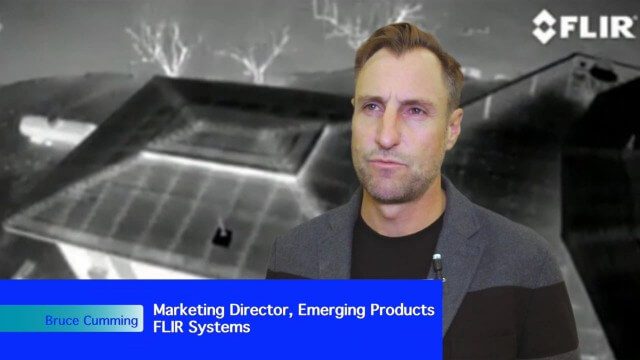
Adapting Thermal Sensors for the Small-UAS Market
2.50K Views0 Comments0 Likes
The V1 Video team spoke to Bruce Cumming, marketing director for emerging products at FLIR Systems, about the company’s legacy of thermal infrared imaging and its use on unmanned aircraft systems. Thermography has been used in commercial workflows for building inspection, oil and gas, electric utilities, solar energy, and more. The flexibility of UAS aerial platforms has the potential to greatly expand accessibility to thermographic insight.


