


Category: Conference Interviews
Bentley Systems’ Impact on Road and Rail Industries
0 Views0 Comments0 Likes
The V1 Video team interviewed Steve Cockerell, Industry Marketing Director of Rail & Road for Bentley Systems, at the 2016 SPAR 3D Expo and Conference, held April 11-14 in The Woodlands, Texas. He discusses the company's ContextCapture, LumenRT and ConceptStatin products as well as the high-profile Crossrail project and how it has changed the company's products and practices.
Bentley’s Ron Gant Discusses Roads and Recent Acquisitions
0 Views0 Comments0 Likes
Ron Gant is the Director of Transportation Marketing at Bentley Systems, and he spoke with V1 Media's Todd Danielson at SPAR International, which was held March 30-April 2, 2015, in Houston, Texas. They discussed the transportation industry and Bentley's role there, asset management, Bentley's acquisition of Acute3D, the value of hosting an event in Houston, and more.
Bhupinder Singh Interview Full Version
0 Views0 Comments0 Likes
Todd Danielson interviews Bhupinder Singh, senior vice president, Bentley Software. They discuss Bentley's "Connected Approach" to software design, how to take advantage of Technology Disruptions, Bentley's engineering approach called "Optioneering," the ProjectWise Construction Work Package Server product, the Bentley Year In Infrastructure Event, and "What's Next?" for Bentley in 2014.
Bhupinder Singh Interview Short Version
0 Views0 Comments0 Likes
A condensed version of Todd Danielson interviewing Bhupinder Singh, senior vice president, Bentley Software. They discuss his role with the company, Bentley's "Connected Approach" to software design, how to Innovate with and take advantage of Technology Disruptions, and Bentley's engineering approach called "Optioneering."
Bringing the Model to the People
0 Views0 Comments0 Likes
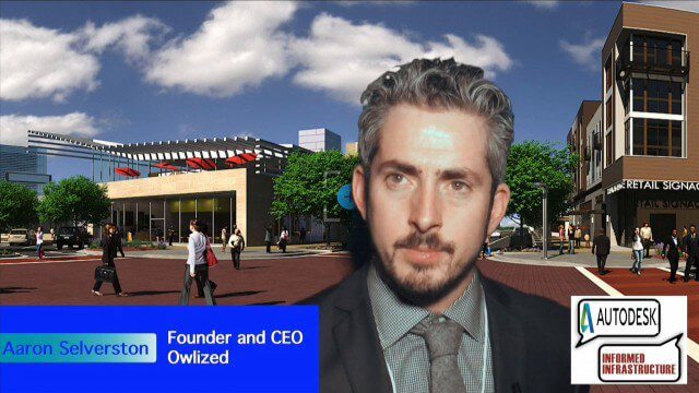
Informed Infrastructure spoke with Aaron Selverston, Founder and CEO, Owlized, at Autodesk University 2014 in Las Vegas. The Owl is a virtual reality device that presents a 3-D model of planned changes in the familiar form factor of a coin-operator binocular. Users approach the device and look into a registered model to see how familiar surroundings will evolve. Our conversation touched on the need for a more informative outreach method to guide urban transformation.
Building Drones for Construction, Surveying and Mining Applications
0 Views0 Comments0 Likes
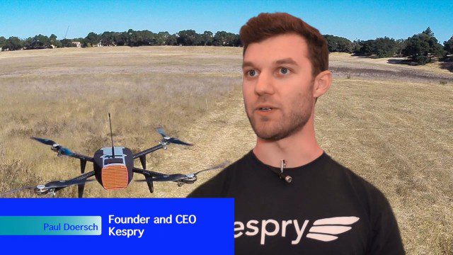
The V1 Video team spoke to Paul Doersch, founder and CEO of Kespry. We talked about his company’s workflows specific to automating the collection of aerial survey information, including the measurement of aggregate stockpiles and mining resources.
Carl Steinitz Discusses Increased Dangers and Urgency at the Geodesign Summit
0 Views0 Comments0 Likes
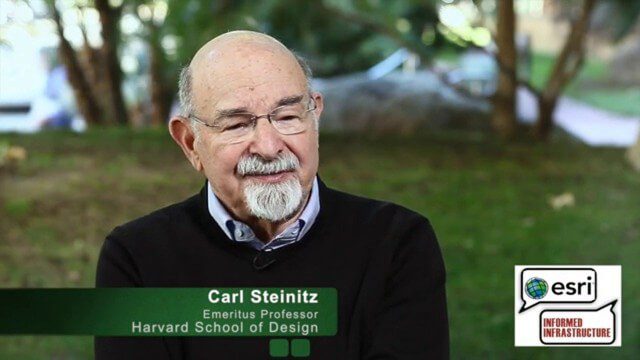
Carl Steinitz is an Emeritus Professor at the Harvard University Graduate School of Design and one of the true pioneers and visionaries of geodesign, with 50 years of experience. On behalf of V1 Media, Informed Infrastructure and GeoSpatial Stream, Todd Danielson interviewed Steinitz at the Geodesign Summit 2015 in Redlands, Calif.

Charting the Intersection of Remote Sensing, GIS and Data Science
0 Views0 Comments0 Likes
The V1 Video team interviewed Stuart Blundell, director of business development and strategy for Harris Geospatial Solutions, at the company’s ENVI Analytics Symposium in Boulder, Colo. The interview touched on the company’s analytical toolset, the need and opportunity to grow the market for advanced analytics, and the extension of their toolset to the cloud.

Conservation Planning in the Face of Climate Change
0 Views0 Comments0 Likes
The V1 Video team interviewed Sam Veloz, Climate Adaptation Group Director for Point Blue Conservation Science. He discussed several items related to monitoring the environment, including finding the proper scale, how the world and its sensing is changing, scenario planning, and his progress report for environmental monitoring and its successes and failures.

Creating 3D Models from Drone Imagery
0 Views0 Comments0 Likes
The V1 Video team interviewed Antoine Martin, Business Manager of Pix4D’s operations in the United States, at the 2015 Esri User Conference in San Diego. We spoke about the growing interest in creating useful data from drone platforms as well as the many use cases for Pix4Dmapper software for automated image processing. The company has focused on the simplification of photogrammetric science to enable users to create accurate maps and 3D models from this imagery.


