
tdanielson / Added Videos

Engineers Analyze Post-Earthquake Conditions in Himalayas
1.26K Views0 Comments0 Likes
Following the M-7.8 earthquake here in April 2015, Dr. Kit Miyamoto and an assessment team traversed the Himalayas, analyzing post-earthquake conditions on popular trekking trails.

Data Enablement for Better Decision Making
3.79K Views0 Comments0 Likes
The V1 Video team interviewed Don Murray, Co-Founder and President of Safe Software, at the 2015 Esri User Conference in San Diego. We spoke about transforming geospatial data into different formats such as Minecraft for greater community engagement as well as combining buildings and GIS data for greater context. Safe Software is all about data, allowing for analysis, processing, storing and integrating data for better decision making.
Tracking Three Decades of Dramatic Glacial Lake Growth
1.08K Views0 Comments0 Likes
In the largest-ever study of glacial lakes, researchers using a 30-year satellite data record have found that the volume of these lakes worldwide has increased by about 50% since 1990 as glaciers melt and retreat due to climate change.

INTERGEO Conference Integrates Geoinformation with Modern Infrastructure
3.77K Views0 Comments0 Likes
This year’s conference at the 20th INTERGEO will be taking a close look at crucial social and political topics set within the framework of increasing global digitization. A whole series of events and forums will offer in-depth discussions on shaping and developing our living environment.
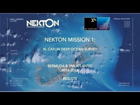
Nekton Mission I – Discovering the Rariphotic Zone
1.37K Views0 Comments0 Likes
Results from Nekton Mission I – the XL Catlin Deep Ocean Survey confirms the discovery of a new zone in the ocean, the Rariphotic Zone (Rare Light Zone) from 130 meters to 300 meters. The Rariphotic Zone is the fourth zone confirmed in the top 3,000 meters of the ocean, each defined by distinct biological communities living at different depths.
Commercial Drones Give A Bird’s Eye View for Inspections
1.28K Views0 Comments0 Likes
Commercial drones from Aerialtronics take flight with Watson IoT and cognitive visual recognition capabilities. Together, IBM Watson IoT and Aerialtronics can help companies open up expansive possibilities to gain insight in places not easily accessible to humans from monitoring city traffic patterns to inspecting wind turbines, oil rigs and cell tower optimization.

7_16 Asia Pacific Broadcast (New Satellites, Drones Catching Tax Cheats and More)
3.20K Views0 Comments0 Likes
This Asia Pacific-themed GeoSpatial Stream broadcast discusses new Asian geospatial satellites from India, China and Japan; V1 Media's upcoming Webcast on Earthquake safety; laser scanning to map and preserve Japanese castles and Malaysian caves; drones used in Indonesia to catch tax cheats; industry news from MDA and Google; thoughts on digital preservation; and more.
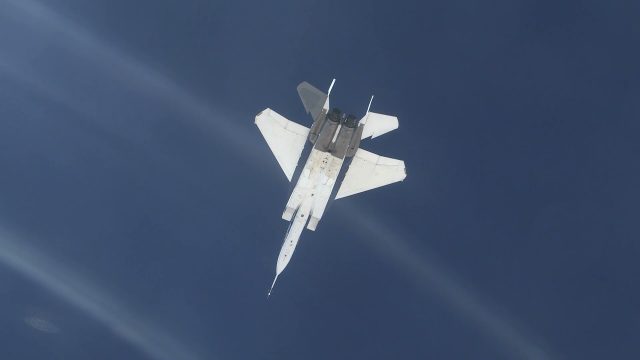
NASA Tests System for Precise Aerial Positioning in Supersonic Flight
201 Views0 Comments0 Likes
NASA recently flight tested a visual navigation system called the Airborne Location Integrating Geospatial Navigation System (ALIGNS).
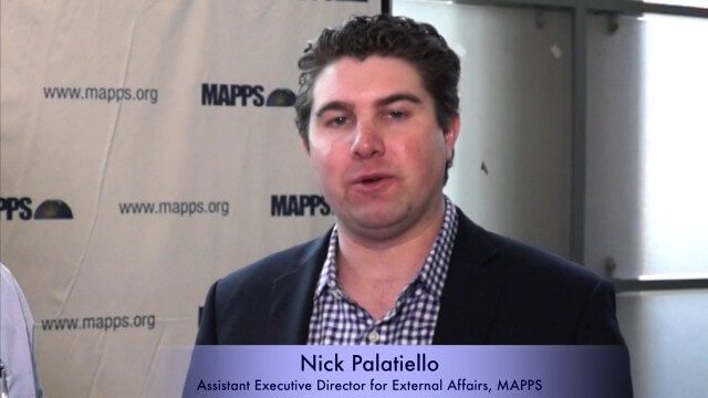
Nick Palatiello Interview
3.43K Views0 Comments0 Likes
Matt Ball interviews Nick Palatiello, Assistant Executive Director for External Affairs, MAPPS. They discuss the lobbying organization's history, agenda and how it works with government officials to advocate for the geospatial profession.

Jack Dangermond Discusses User Conference Highlights, GIS “Critical Mass” (1 of 4)
11.26K Views0 Comments0 Likes
In the first of four installments, Todd Danielson interviews Jack Dangermond, President and Founder, Esri, at the 2014 Esri User Conference in San Diego. Jack covers event highlights such as GIS aiding the fight against polio in Africa, new technologies introduced, and reaching a "critical mass" of development and use in the industry.


