
tdanielson / Added Videos
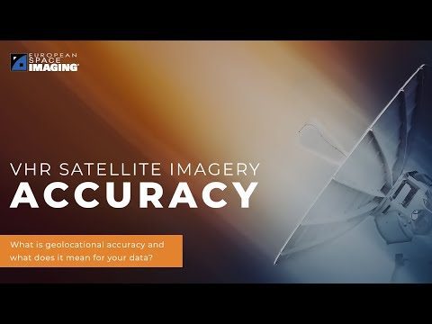
Why Geolocational Accuracy Matters
548 Views0 Comments0 Likes
Satellite imagery has revolutionised industries, all around the world. The resolution and clarity of these images keeps increasing and because of that, it is important to understand the geolocational and geospatial ac...
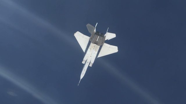
NASA Tests System for Precise Aerial Positioning in Supersonic Flight
201 Views0 Comments0 Likes
NASA recently flight tested a visual navigation system called the Airborne Location Integrating Geospatial Navigation System (ALIGNS).
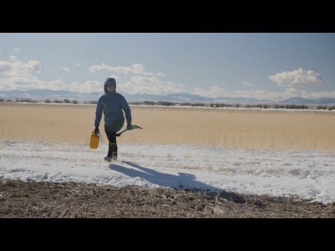
Video: Snow Scientists in the Windswept Montana Prairie
152 Views0 Comments0 Likes
NASA’s SnowEx ground and airborne campaign is a multiyear effort using a variety of techniques to study snow characteristics, and the team began their new field study year in January 2021.
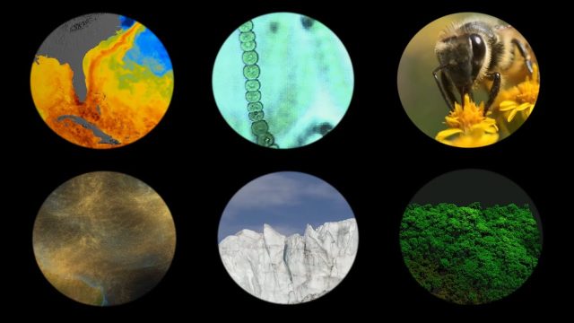
NASA Explores Earth’s Connections
175 Views0 Comments0 Likes
NASA explores the connections of Earth systems and its ability to observe them in a changing world, highlighting the links between dust transport, vegetation, water quality, conservation and human health, the cryosphere, and disasters.
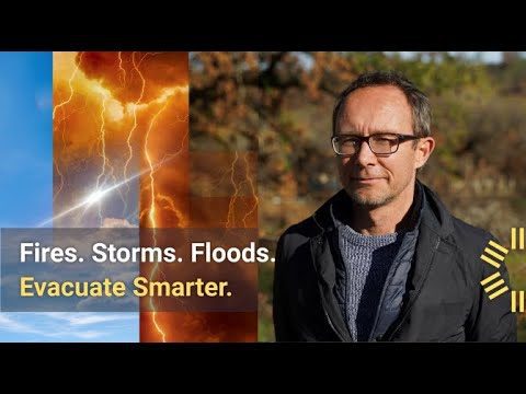
700 U.S. Towns in Need of Bolstered Evacuation Preparedness
137 Views0 Comments0 Likes
Get a bird's-eye view of a California community that in 2020 fell victim to the 370,000-acre LNU Lightning Complex Fire.
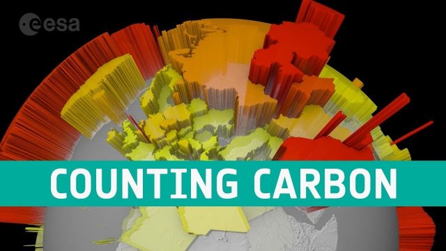
Counting Carbon
202 Views0 Comments0 Likes
As well as tracking atmospheric carbon, ESA’s Climate Change Initiative is using satellite observations to track other carbon stocks on land and sea.

Space Olympics
188 Views0 Comments0 Likes
The International Space Station Expedition 65 crew recorded themselves on a day off after a long week of work having some weightless fun. From Earth orbit, 400 km above our planet, the crew present the very first Spa...

Planet Aqua: Solutions from Space for Clean Water
122 Views0 Comments0 Likes
Water is life, on Earth and in space. Dutch ESA astronaut André Kuipers recounts his experience living in space for 204 days, and his time looking back on the blue face of ‘Planet Aqua’, comparing notes with divers a...

A Trip Through Time With Landsat 9
61 Views0 Comments0 Likes
For half a century, the Landsat mission has shown us Earth from space. Now, come along with us on a "roadtrip" through the decades to see how the technology on this NASA and U.S. Geological Survey partnership has evo...
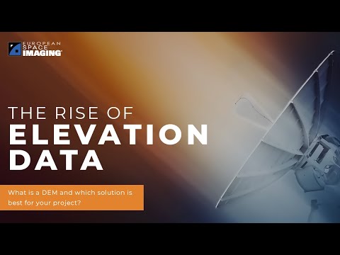
The Rise of Elevation Data – What Is a DEM and Which Solution Is Best for You?
109 Views0 Comments0 Likes
The world exists in three dimensions and often, so does satellite imagery. But with so many types of Digital Elevation Models, each created via different collection and processing methods and sold in a variety of for...


