
tdanielson / Added Videos

Ultra High Definition (4K) View of Planet Earth
5.47K Views0 Comments0 Likes
NASA monitors Earth's vital signs from land, air and space with a fleet of satellites and ambitious airborne and ground-based observation campaigns.

Understanding GIS – An Overview
1.55K Views0 Comments0 Likes
Geographic Information Systems are used by professionals and academics all over the world to investigate problems ranging from the spread of disease to the damage caused by hurricanes. Learn more about the University of Michigan-Flint's GIS Certificate by visiting umflint.edu/gis/gis-center

Unleashing the Power of Earth Observations
1.72K Views0 Comments0 Likes
What do we see when we look at the Earth, and what do these observations mean for the years ahead? Barbara Ryan, secretariat director of the Intergovernmental Group on Earth Observations (GEO), discusses this Geneva-based, voluntary partnership of governments and organizations dedicated to coordinated, comprehensive, and sustained Earth observations and information — sharing what scientific observers worldwide are learning about the state and health of planet Earth.
Unmanned Flights Take to San Joaquin Valley Skies
1.34K Views0 Comments0 Likes
In the San Joaquin Valley, Chevron launched unmanned aerial systems above its Coalinga Field to capture high-resolution and thermal imagery as part of a pilot project to incorporate the technology in its day-to-day field operations.

Urban Ecology
2.05K Views0 Comments0 Likes
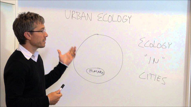
Urban Ecology
1.85K Views0 Comments0 Likes
An assistant professor at the New School in New York discusses and explains urban ecology.

Urban Heat Risk Explorer
3.58K Views0 Comments0 Likes
Helping cities prepare for, respond to, and recover from extreme heat events, the app provides users with a better understanding of heat risks in cities and communicates with users on ways they can protect themselves during extreme heat events.
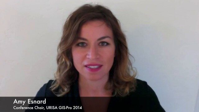
URISA Ready for Upcoming GIS-Pro Event in New Orleans
5.50K Views0 Comments0 Likes
Todd Danielson interviews Amy Esnard, Conference Chair for URISA's GIS-Pro event being held Sept. 8-11, 2014, in New Orleans. They discuss URISA's goals for the event, the benefits of hosting the event in New Orleans, the conference theme of "Community Resilience," and some expected program and social highlights.
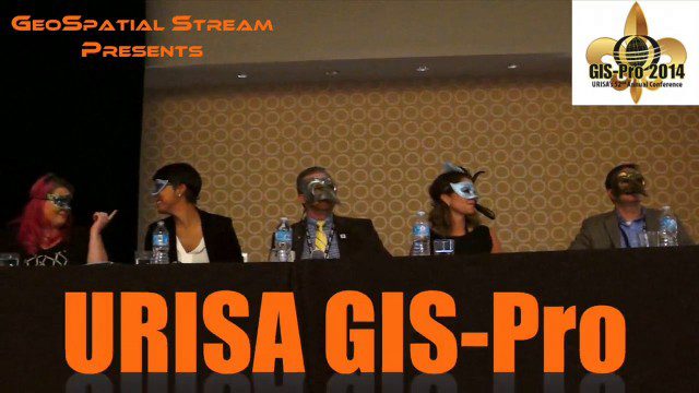
URISA’s GIS-Pro 2014: Big Results in Big Easy
11.14K Views2 Comments0 Likes
URISA's GIS-Pro 2014 was held Sept. 8-11, 2014, in New Orleans. Todd Danielson, GeoSpatial Stream publisher, was at the event and created this video recap.
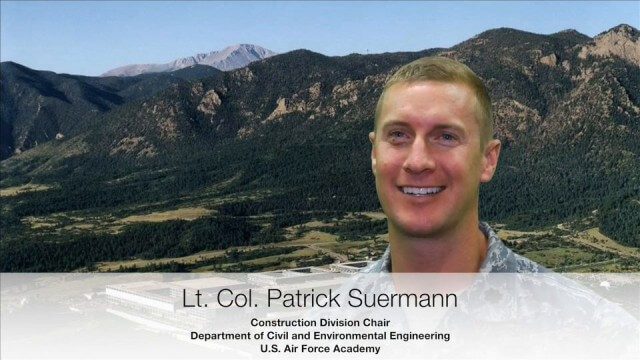
USAFA Reality Capture Showcase: Lt. Col. Patrick Suermann
3.17K Views0 Comments0 Likes
V1 Media was at the U.S. Air Force Academy (USAFA) Reality Capture Showcase at the Department of Civil and Environmental Engineering, interviewing Lt. Col. Patrick Suermann, Construction Division Chair.


