
tdanielson / Added Videos
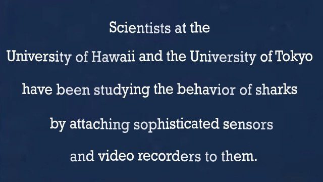
A “shark’s eye” view: Witnessing the life of a top predator
3.97K Views0 Comments0 Likes
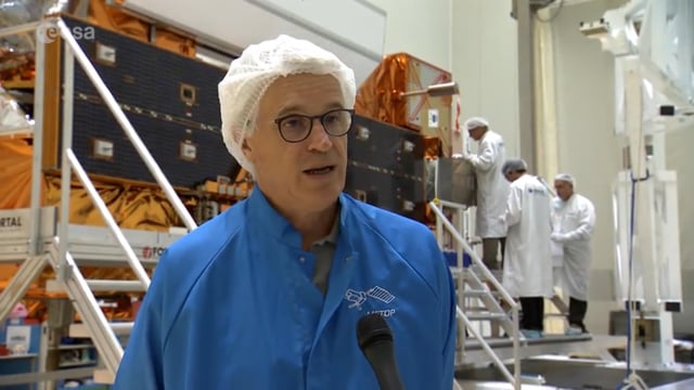
Getting Ready for MetOp-C
879 Views0 Comments0 Likes
The third in the series of MetOp satellites is scheduled for launch on Nov. 7, 2018, from Europe’s spaceport in Kourou.
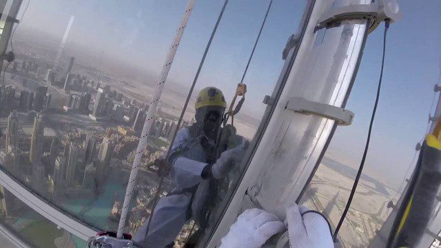
The LED Exterior Facade of Burj Khalifa Uncovered
1.50K Views0 Comments0 Likes
Facts uncovered by a dedicated team of specialized engineers. All you need to know about the largest LED screen in the world covering the world's tallest tower's facade.
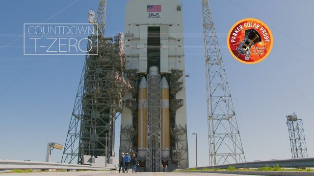
Flying Faster, Hotter and Closer Than Ever to the Sun
923 Views0 Comments0 Likes
NASA's Parker Solar Probe and its United Launch Alliance Delta IV Heavy launch vehicle prepare for an unprecedented mission to "kiss the Sun."
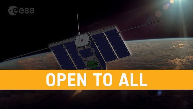
OPS-SAT: ESA’s Flying Lab, Open to All
682 Views0 Comments0 Likes
What would you do with a powerful computer based in space? At just 30 centimeters in height, OPS-SAT is a tiny CubeSat designed to serve as a large-scale software laboratory in orbit–containing one of the most powerfu...
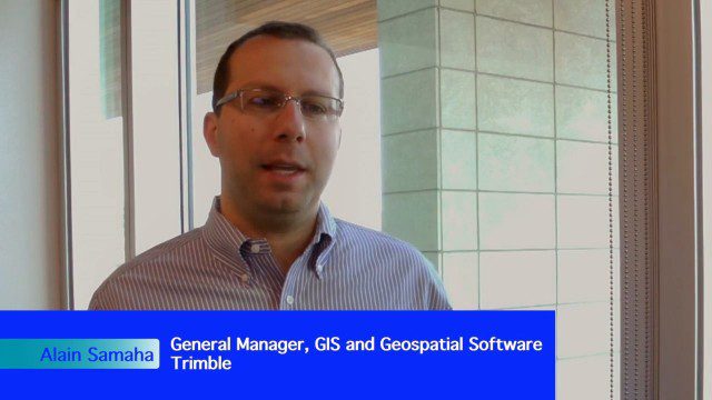
Trimble Expands Hardware and Software Integration, Focus on Solutions
4.19K Views0 Comments0 Likes
Trimble announced an expanded portfolio of geospatial solutions for surveyors, engineers and GIS professionals. V1 Media spoke with Alain Samaha, Business Area Director for Trimble's Geospatial Software Solutions and GIS businesses, about these solutions, the ability to automate and add efficiency, and other trends that are impacting data collection.
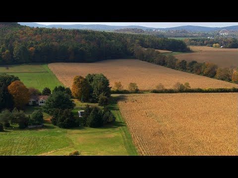
Landsat: Farming Data From Space
539 Views0 Comments0 Likes
NASA's fleet of satellites has been watching over Earth for more than half a century, collecting valuable data about the crops that make up our food supply and the water it takes to grow them. This wealth of information allows scientists to monitor farmland—tracking the overall food supply, where specific crops are grown, and how much water it takes to grow them with data from the Landsat satellites and others
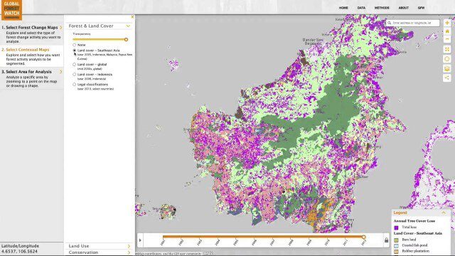
Global Forest Watch Commodities—Geospatial Tools to Help Reduce Greenhouse Gas Emissions from Land-Use Change
3.02K Views0 Comments0 Likes
This app provides three tools for businesses interested in good forest management: Suitability Mapper, which enables businesses to identify degraded areas best suited for commodity development as an alternative to clearing new forest areas; Forest Analyzer, which provides information on land cover and land use to monitor and evaluate change to forests on commodity concessions; and Roundtable on Sustainable Palm Oil (RSPO) Support tool, which users can complete for an analysis of forest change on certified areas and use the analysis for the compensation procedure required by RSPO while also enabling commodity buyers to make informed sourcing decisions.
Get Ready for the 2017 Solar Eclipse
5.12K Views0 Comments0 Likes
On Monday, August 21, 2017, our nation will be treated to a total eclipse of the sun.
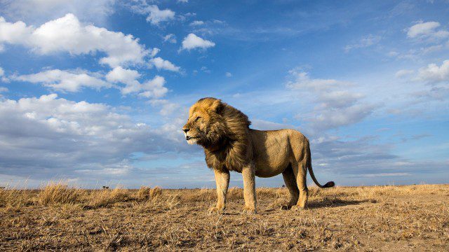
BeetleCam Project
2.08K Views0 Comments0 Likes
New video footage from BeetleCam in the Serengeti, plus announcing the new BeetleCam Hybrid!


