
tdanielson / Added Videos
Make Every Day ‘GIS Day’
919 Views0 Comments0 Likes
GIS in education offers key skills and advantages, such as critical thinking, workforce competencies, working with data, holistic thinking, inquiry, and much more.
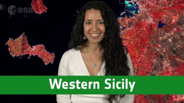
Earth from Space: Western Sicily
802 Views0 Comments0 Likes
In this week's edition of the Earth from Space program, the Copernicus Sentinel-2A satellite takes us over western Sicily and the islands of Favignana and Levanzo in Italy.

Hexagon Solutions CEO Discusses Growing Marketplace
2.69K Views0 Comments0 Likes
Todd Danielson interviews Claudio Simão, President and CEO, Hexagon Solutions, at the HxGN LIVE event in Las Vegas, Nevada. They discuss the goals of Hexagon Solutions in terms of market needs, this evolving division within Hexagon, the ripe environment for acquisitions, and more.

Fully Integrated RiCOPTER UAV in Flight
3.19K Views0 Comments0 Likes
RiCOPTER is a high-performance UAV which can be equipped with the RIEGL VUX-1 survey-grade LiDAR sensor to offer a fully integrated turnkey solution and marks the first complete UAS LiDAR solution from one manufacturer.
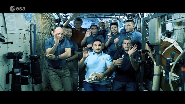
Destination Low Earth Orbit
1.45K Views0 Comments0 Likes
ESA astronaut Andreas Mogensen narrates this video on the inspiring endeavours of human spaceflight and how it changes our daily lives.
Geostationary Operational Environmental Satellite (GOES) East and West
1.01K Views0 Comments0 Likes
NOAA maintains a two-satellite Geostationary Operational Environmental Satellite (GOES) constellation to watch over the Western Hemisphere.
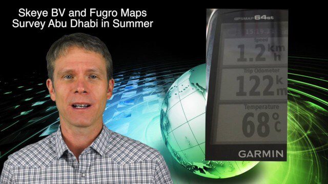
10_8 Asia Pacific Broadcast (New Satellites and Rockets, Mumbai Mapping and More)
3.16K Views0 Comments0 Likes
This Asia Pacific-themed GeoSpatial Stream broadcast covers several new satellites and rockets launched from Asia, including China's Pujian-1 and 20th Beidou satellites, a new Chinese Long March-6 rocket, imagery from China's TripleSat Constellation, and the Indian Space Research Organization launching another PSLV rocket carrying ASTRONAUT and six foreign satellites; Mumbai students mapping the Mithi River; Japanese scientists using laser scanning to study ancient tombs; industry news from Esri, Miyamoto International, Intergraph, Skeye BV and Fugro Maps; clips from a video about Ushahidi mapping in Semarang, Indonesia; and more.
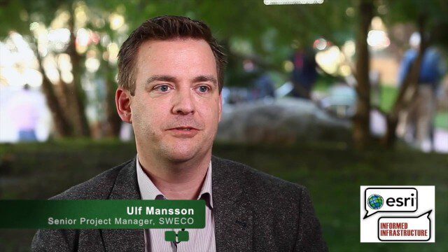
Ulf Mansson Moving Geodata to Minecraft
4.72K Views0 Comments0 Likes
Ulf Mansson, senior project manager for SWECO, has more than 20 years of experience in the geospatial industry. In 2013, he invented a method to stream geodata into the game Minecraft. On behalf of V1 Media, Informed Infrastructure and GeoSpatial Stream, Todd Danielson interviewed Mansson at the Geodesign Summit 2015 in Redlands, Calif.
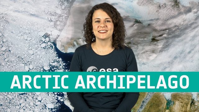
Earth from Space: Canadian Arctic Archipelago
671 Views0 Comments0 Likes
The Copernicus Sentinel-3 mission takes us over part of the Canadian Arctic Archipelago, in this week's edition of the Earth from Space program.
Environmental Geography
2.07K Views0 Comments0 Likes
Students deploy river-temperature sensors to make environmental predictions.


