
tdanielson / Added Videos

600 km Above Earth’s Surface with HD Video (Skybox Imaging)
5.74K Views0 Comments0 Likes
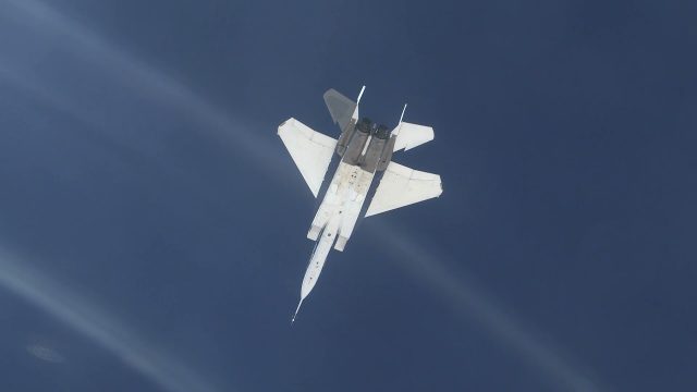
NASA Tests System for Precise Aerial Positioning in Supersonic Flight
201 Views0 Comments0 Likes
NASA recently flight tested a visual navigation system called the Airborne Location Integrating Geospatial Navigation System (ALIGNS).
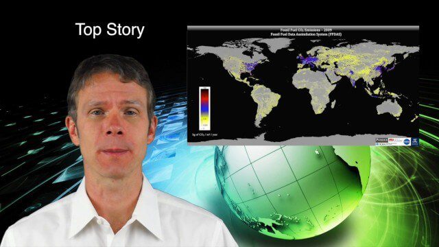
9_18 Climate Change Broadcast (CO2 Mapping, Open Data and More)
4.83K Views0 Comments0 Likes
This GeoSpatial Stream broadcast discusses new research on greenhouse gas emissions worldwide; open data and sustainability innovation; a lost Russian satellite; a geospatial search engine from the U.S. Library of Congress; industry news from Cadcorp, Bentley Systems, Esri and Innovyze; opinions on the recent URISA GIS-Pro conference; and more.
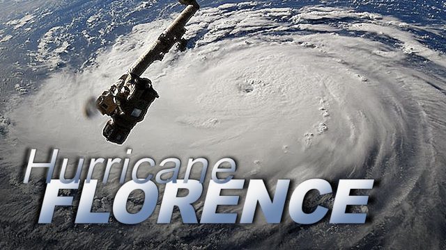
Dramatic Views of Hurricane Florence
808 Views0 Comments0 Likes
Cameras outside the International Space Station captured dramatic views of rapidly strengthening Hurricane Florence at 8:10 a.m. EDT Sept. 10 as it moved in a westerly direction across the Atlantic, headed for a likely landfall along the eastern seaboard of the U.S. late Thursday or early Friday.
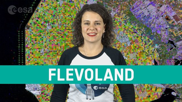
Earth from Space: Flevoland
878 Views0 Comments0 Likes
In this week's edition of the Earth from Space program, the Copernicus Sentinel-1 mission takes us over part of the Dutch province of Flevoland–the newest province in the Netherlands and one of the largest land reclamation projects in the world.
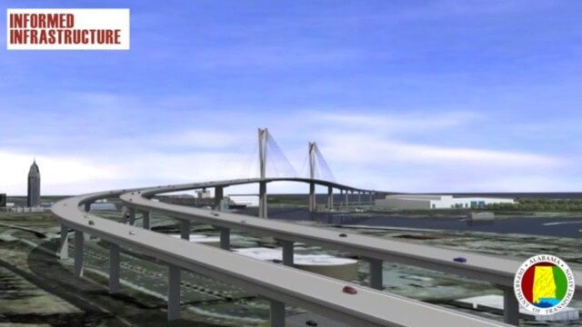
Mobile River Bridge Animation
3.62K Views0 Comments0 Likes
The visualization team at Alabama DOT created a 3D conceptual model of the entire proposed Mobile River Bridge and Bayway project with realistic renderings and animations of the driving experience as well as a 360-degree flyover to provide context from all angles around the city. This work did a great deal to achieve public buy-in, and the project is being fast tracked given the positive impact it will have on the area.
EPIC Observations of Ice in Earth’s Atmosphere
4.68K Views0 Comments0 Likes
Parked in space a million miles from Earth, the Earth Polychromatic Imaging Camera (EPIC) onboard the Deep Space Climate Observatory (DSCOVR) captures glimmers of reflected sunlight, evidence of ice crystals in the atmosphere.
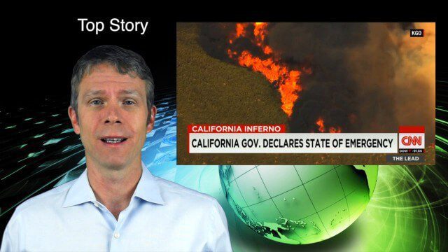
8_6 Wildfire Broadcast (Updates from California and Alaska, NASA and UN News, and More)
3.27K Views0 Comments0 Likes
This GeoSpatial Stream broadcast discusses the wildfires raging in California, the Pacific Northwest and especially Alaska; a NASA program to inventory Earth's surface waters; the Geovation startup hub; industry news from Esri, URISA and VisionMap; a UN video on the power of geospatial technology; and more.

Bhupinder Singh Interview Short Version
4.58K Views0 Comments0 Likes
A condensed version of Todd Danielson interviewing Bhupinder Singh, senior vice president, Bentley Software. They discuss his role with the company, Bentley's "Connected Approach" to software design, how to Innovate with and take advantage of Technology Disruptions, and Bentley's engineering approach called "Optioneering."
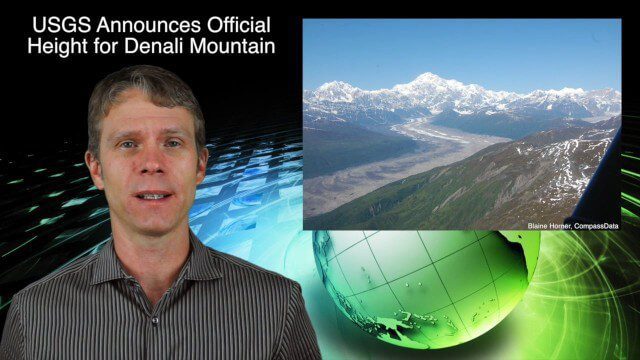
9_3 Environment Broadcast (Ocean Monitoring, Habitat Protection, Denali and More)
3.56K Views0 Comments0 Likes
This GeoSpatial Stream broadcast discusses ocean monitoring by the European Commission's NeXOS project; ocean-habitat monitoring off of Costa Rica, with the help of DigitalGlobe satellite imagery; a new official height for Denali Mountain; industry news from Trimble, Spatial Dimension, TerraGo, Esri, FlightAware and SimActive; a video from the EPA; and more.


