
tdanielson / Added Videos

A Colorful ‘Landing’ on Pluto
4.76K Views0 Comments0 Likes
What would it be like to actually land on Pluto? This movie was made from more than 100 images taken by NASA’s New Horizons spacecraft over six weeks of approach and close flyby in the summer of 2015.
3_5 Earth Imaging Broadcast (DigitalGlobe, LiDAR and More)
4.76K Views0 Comments0 Likes
This GeoSpatial Stream broadcast discusses the public release of 30-centimeter-resolution satellite imagery from DigitalGlobe and the company's partnership with the United Nations; the National Ecological Observation Network's new LiDAR data; an award for the Orion Space mission; industry news from exactEarth, Esri, Google, and the U.S. EPA and NOAA; a recap of the recent International LiDAR Mapping Forum in Denver; and more.
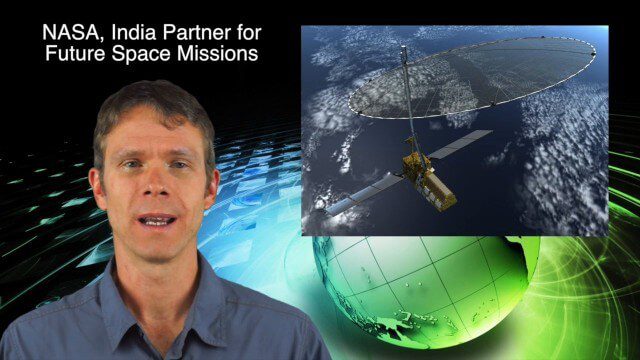
10_16 Asia-Pacific Broadcast (Tsunami Preparedness, NASA/India Partnerships and More)
4.77K Views0 Comments0 Likes
This Asia-Pacific-focused GeoSpatial Stream broadcast discusses several reports indicating that tsunami preparedness is improving in the region; a space-mission partnership between NASA and India's ISRO; the first images from China's Gaofen-2; a video from the University of South Australia's Global Sensor Network; industry news from MDA Information Systems, Esri, Xiaomi, Careland, Innovyze and Nobel Systems; and more.

The Challenges and Benefits of Interoperability
4.78K Views0 Comments0 Likes
The V1 Video team interviewed Allen Adams, Senior Structural Engineer, RAM Group, Bentley Systems, at the 2016 NASCC: The Steel Conference, held April 13-15 in Orlando, Fla. He discusses the major challenges of interoperability in the infrastructure industry, Bentley Systems' approach to these difficulties, what it looks like when data isn't open to others within an organization, and how Bentley software saves its clients time and money.
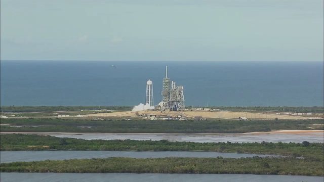
SpaceX CRS-11 Liftoff for International Space Station
4.81K Views0 Comments0 Likes
The SpaceX CRS-11 Falcon 9 rocket lifts off from Launch Complex 39A at NASA's Kennedy Space Center sending a Dragon spacecraft on the company's 11th commercial resupply services mission to the International Space Station. Liftoff was at 5:07 p.m. EDT on June 3, 2017.
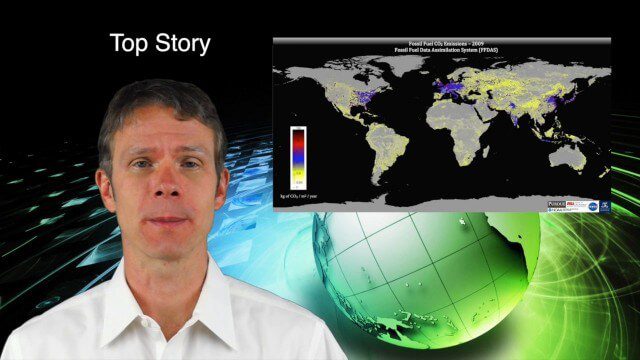
9_18 Climate Change Broadcast (CO2 Mapping, Open Data and More)
4.83K Views0 Comments0 Likes
This GeoSpatial Stream broadcast discusses new research on greenhouse gas emissions worldwide; open data and sustainability innovation; a lost Russian satellite; a geospatial search engine from the U.S. Library of Congress; industry news from Cadcorp, Bentley Systems, Esri and Innovyze; opinions on the recent URISA GIS-Pro conference; and more.
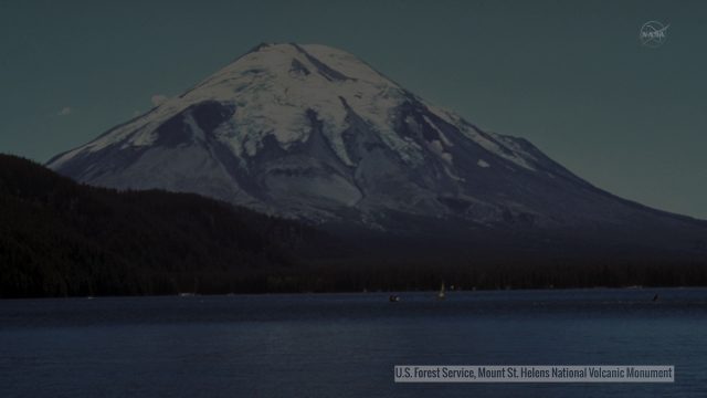
Landsat Tracks Mount St. Helens Recovery
4.83K Views0 Comments0 Likes
By observing different wavelengths of light reflected off the surface, Landsat data can identify different types of land cover.
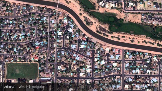
Satellite Imagery to Catch Environmental Changes
4.84K Views0 Comments0 Likes
How governments are using high-resolution satellite imagery to catch environmental issues before they become health hazards - and EPA fines.
ScienceCasts: Riding the Slingshot to Bennu
4.85K Views0 Comments0 Likes
Gravity’s pull is being used to help propel a small spacecraft known as OSIRIS-REx to a near-Earth asteroid called Bennu.

Esri App Challenge Winners Create Actionable Tools to Strengthen Resilience Efforts
4.88K Views0 Comments0 Likes
Esri App Challenge Winners Create Actionable Tools to Strengthen Resilience Efforts Hundreds of Apps Submitted in Response to White House Climate Data Initiative Redlands, California—July 15, 2014—Esri...


