
tdanielson / Added Videos
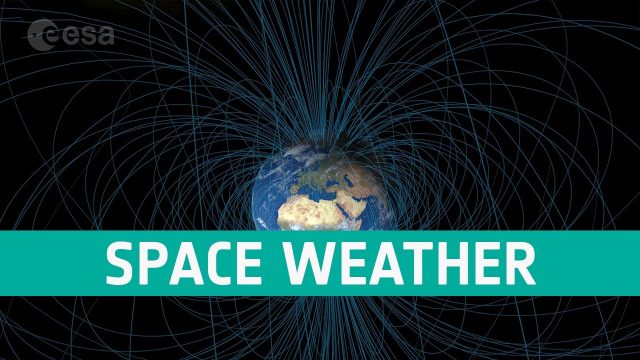
Space Weather Could Be Worse in the North
381 Views0 Comments0 Likes
Instead of a symmetrical distribution of energy between the northern and southern hemispheres through the year, scientists have used data from ESA’s Swarm mission, to discover that electromagnetic energy is preferentially channelled to the northern hemisphere.

Space’s Part in the 5G Revolution
768 Views0 Comments0 Likes
We need satellites to ensure businesses and citizens can benefit smoothly from 5G.
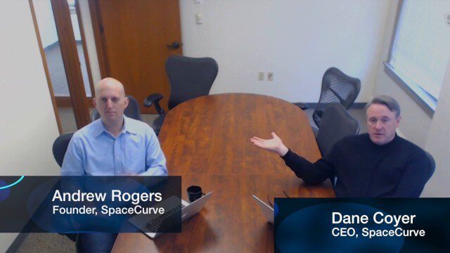
SpaceCurve Introduces Spatial at the Speed of Reality
3.59K Views0 Comments0 Likes
GeoSpatial Stream's Todd Danielson conducted an Internet Interview with SpaceCurve's CEO Dane Coyer and Founder Andrew Rogers. They spoke about the company's inception, Big Data, spatial indexing and business applications as well as how SpaceCurve created new technologies to integrate these varied components.
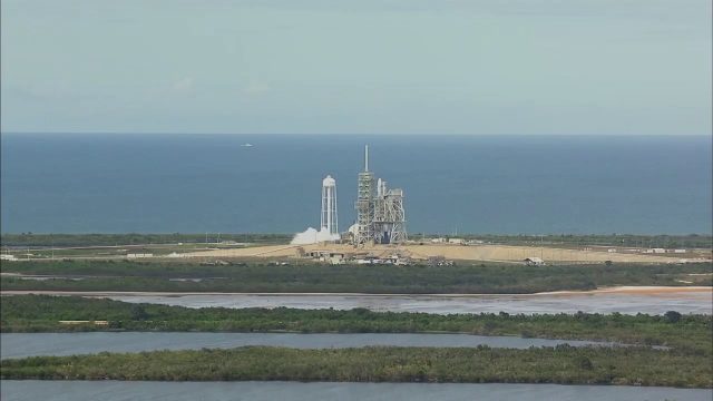
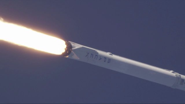
SpaceX CRS-11 Liftoff for International Space Station
4.81K Views0 Comments0 Likes
The SpaceX CRS-11 Falcon 9 rocket lifts off from Launch Complex 39A at NASA's Kennedy Space Center sending a Dragon spacecraft on the company's 11th commercial resupply services mission to the International Space Station. Liftoff was at 5:07 p.m. EDT on June 3, 2017.
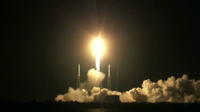
SpaceX CRS-15 Liftoff
978 Views0 Comments0 Likes
The SpaceX CRS-15 Falcon 9 rocket lifts off from Space Launch Complex 40 at Cape Canaveral Air Force Station, sending a Dragon spacecraft on the company's 15th commercial resupply services mission to the International Space Station.
SpaceX Falcon 9 Liftoff with TESS
978 Views0 Comments0 Likes
A Falcon 9 rocket lifts off at 6:51 p.m. EDT from Space Launch Complex 40 at Cape Canaveral Air Force Station carrying NASA's Transiting Exoplanet Survey Satellite (TESS).
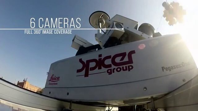

Spike Kickstarter Video from ikeGPS
3.86K Views0 Comments0 Likes
Spike is the world’s first laser accurate Smartphone measurement solution enabling you to safely and accurately measure an object up to 600 feet (200 m) away. With a simple snap from your Smartphone, you can measure height, width, and area from a photo, and capture target location. Measurement and location are saved with the picture, and can be easily shared via email as a PDF or Spike File (XML).
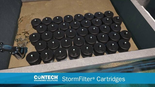
St. Anthony Regional Stormwater Treatment and Research System
1.30K Views0 Comments0 Likes
An estimated 169 million gallons of polluted stormwater runoff will be captured and treated each year by this underground facility on the border of Minneapolis and St. Anthony Village. It is projected to cut pollution levels by more than half for stormwater runoff flowing from the southern half of St. Anthony Village to the Mississippi River. Learn more at http://mwmo.org/sav

Stanford Researchers Forecast Longer, More Extreme Wildfire Seasons
1.01K Views0 Comments0 Likes
Study finds that autumn days with extreme fire weather have more than doubled in California since the early 1980s due to climate change. The results could contribute to more effective risk mitigation, land management and resource allocation.


