
tdanielson / Added Videos

Understanding GIS – An Overview
1.55K Views0 Comments0 Likes
Geographic Information Systems are used by professionals and academics all over the world to investigate problems ranging from the spread of disease to the damage caused by hurricanes. Learn more about the University of Michigan-Flint's GIS Certificate by visiting umflint.edu/gis/gis-center
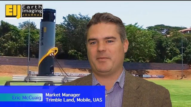
Trimble’s Mobile Mapping Systems Enabling Greater Access
3.47K Views0 Comments0 Likes
The V1 Video team spoke with Eric McCuaig, Market Manager for Trimble's Land, Mobile and UAS Systems, at the ILMF 2016 event held in Denver in February 2016. He spoke about the company's new MX7 mobile-mapping product and its applications as well as the importance of ease of use in modern systems.
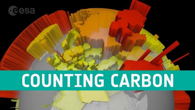
Counting Carbon
202 Views0 Comments0 Likes
As well as tracking atmospheric carbon, ESA’s Climate Change Initiative is using satellite observations to track other carbon stocks on land and sea.
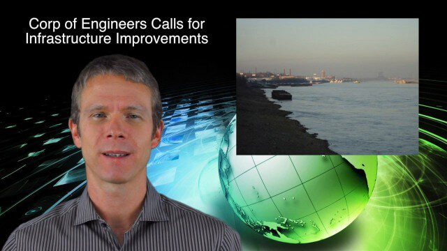
8_21 Climate Change Broadcast (New NASA Instruments, Ice Sheets and More)
5.07K Views0 Comments0 Likes
This GeoSpatial Stream broadcast discusses the latest news on climate change, including new NASA monitoring instruments for the International Space Station and ESA's CryoSat mission to measure ice-sheet loss; a U.S. Army Corps of Engineers call for infrastructure improvements in the Mississippi River Watershed; Maps.com and its new Field Trip Library educational series; industry news from American Sentinel University, Nokia HERE and Apple; a LiDAR video from the National Ecological Observatory Network on monitoring trees; and more.
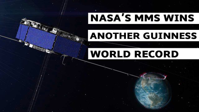
NASA’s MMS Satellite Breaks World GPS Record
1.38K Views0 Comments0 Likes
NASA's MMS mission now holds the Guinness World Record for highest altitude GPS fix: 43,500 miles above Earth’s surface.
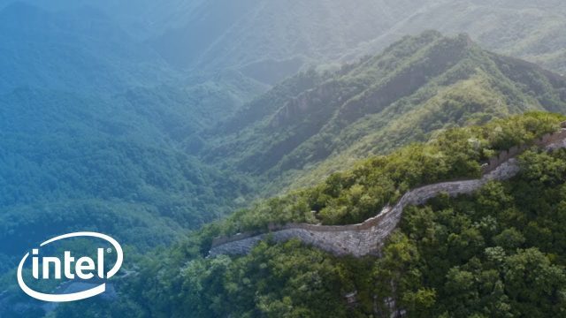
Drones and AI to Preserve the Great Wall of China
1.06K Views0 Comments0 Likes
A team sets out on a mission to preserve one of the most iconic landmarks on Earth: the Great Wall of China. Follow their expedition as they reimagine preservation work on this monument with new tools: Intel Drones and Al.

Trouble Viewing Video?
9.71K Views0 Comments0 Likes
Trouble Viewing Video? GeoSpatial Stream videos are hosted on Vimeo and YouTube. Many video files are large, and you will need a fast internet connection in order to view them without interruption. Also, allow vide...
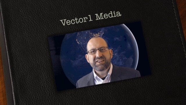
Vector1 Media Focuses on the Future with B2B Veterans and a Multimedia Roadmap
6.32K Views0 Comments0 Likes
Vector1 Media LLC welcomes new members Kevin Carmody and Patrick Krill, makes investments in our online platforms, including an AIA accredited continuing-education site that is coming soon, and extends the reach of multimedia throughout our different channels.
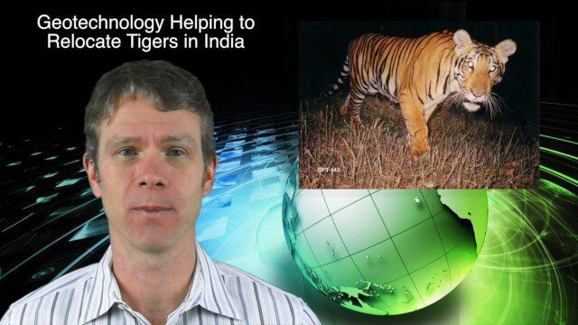
11_26 Asia-Pacific Broadcast (Gaofen-23, Hokkaido Map and More)
3.64K Views0 Comments0 Likes
This Asia-Pacific-focused GeoSpatial Stream broadcast discusses the recently launched Chinese Gaofen-23 remote-sensing satellite; researchers in India finding and relocating tigers; a new map of disputed territories off the coast of Hokkaido; Brisbane GIS Day, the largest GIS Day event in the world; the Locate 15 Conference; an Esri Australia contract with the Australian Department of Defence; a video about UN's FAO using geospatial technology; and more.
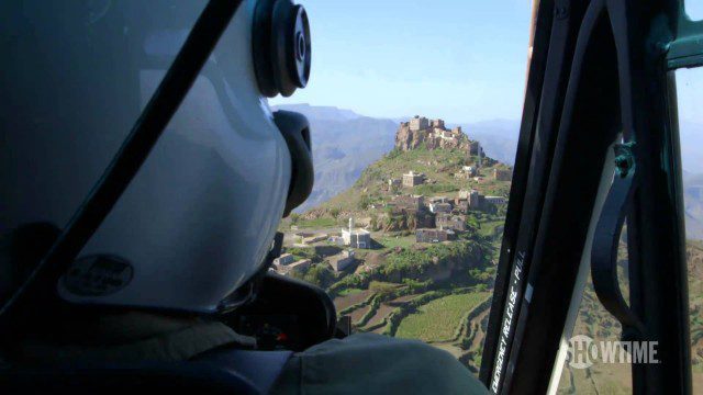
Years of Living Dangerously Trailer #2
1.75K Views0 Comments0 Likes
Hollywood's brightest stars and today's most respected journalists explore the issues of climate change and bring you intimate accounts of triumph and tragedy. YEARS OF LIVING DANGEROUSLY takes you directly to the heart of the matter in this awe-inspiring and cinematic documentary series event from Executive Producers James Cameron, Jerry Weintraub and Arnold Schwarzenegger.


