
tdanielson / Added Videos
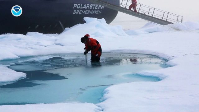
Arctic Report Card 2018
1.06K Views0 Comments0 Likes
Arctic Report Card: Update for 2018 - Tracking recent environmental changes, with 14 essays prepared by an international team of 81 scientists from 12 different countries and an independent peer-review organized by th...
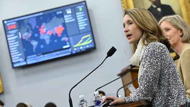
Professor Lauren Gardner Discusses How the COVID-19 Dashboard is Built and Maintained
1.06K Views0 Comments0 Likes
The COVID-19 dashboard built by the Center for Systems Science and Engineering (CSSE) at Johns Hopkins University gets over a billion requests a day from around the world. Since its creation in late January 2020, it h...
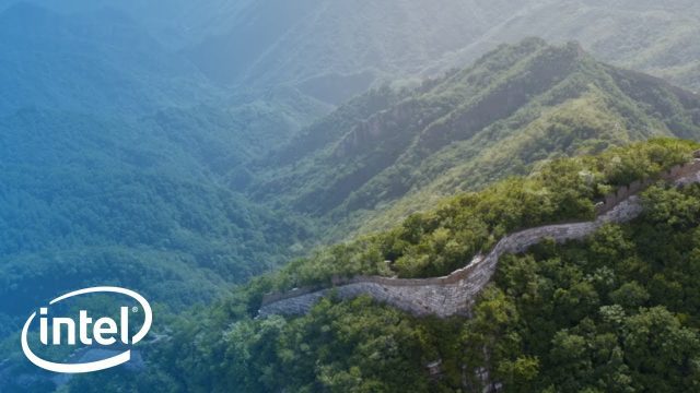
Drones and AI to Preserve the Great Wall of China
1.06K Views0 Comments0 Likes
A team sets out on a mission to preserve one of the most iconic landmarks on Earth: the Great Wall of China. Follow their expedition as they reimagine preservation work on this monument with new tools: Intel Drones and Al.
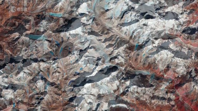
Earth from Space: Mount Makalu
1.05K Views0 Comments0 Likes
Sentinel-2 takes us over Mount Makalu in the Himalayas where Swedish explorer, mountaineer and climate campaigner, Carina Ahlqvist, led a climb this year.
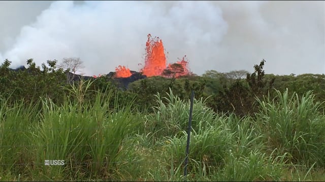
Kīlauea Volcano’s Lower East Rift Zone
1.03K Views0 Comments0 Likes
This video from May 21, 2018, shows how splashing and spattering lava builds cones around fissure sites in Kīlauea Volcano's lower East Rift Zone.
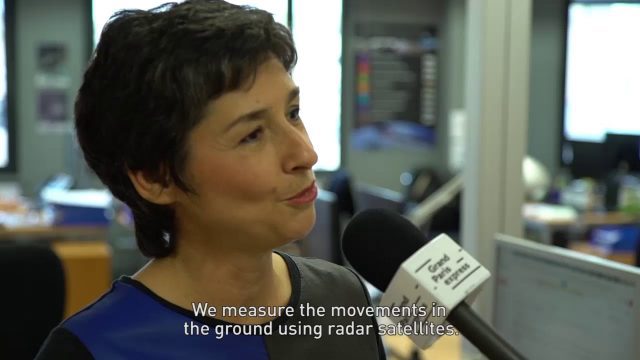
Satellite Monitoring of Grand Paris Express
1.02K Views0 Comments0 Likes
The Grand Paris Express is an unprecedented urban development project centred on a major expansion of the existing public transport network for the whole Paris metropolitan area.
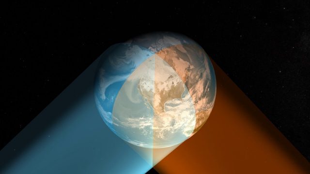
Geostationary Operational Environmental Satellite (GOES) East and West
1.01K Views0 Comments0 Likes
NOAA maintains a two-satellite Geostationary Operational Environmental Satellite (GOES) constellation to watch over the Western Hemisphere.
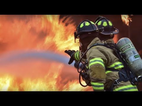
Stanford Researchers Forecast Longer, More Extreme Wildfire Seasons
1.01K Views0 Comments0 Likes
Study finds that autumn days with extreme fire weather have more than doubled in California since the early 1980s due to climate change. The results could contribute to more effective risk mitigation, land management and resource allocation.
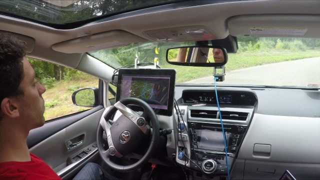
Self-Driving Cars for Country Roads
998 Views0 Comments0 Likes
A team from MIT's Computer Science and Artificial Intelligence Laboratory (CSAIL) developed a way for autonomous cars to read and anticipate their local surroundings rather than relying on gigabytes of 3D map data.

Hurricane Forecasts Rely on Modeling the Past
988 Views0 Comments0 Likes
Improving hurricane forecasts means testing historical storms with today's sophisticated models and supercomputers. NASA and NOAA work together in gathering ground and satellite observations, as well as experimenting with research forecast models. As a result of this collaboration, model resolution has increased, and scientists are discovering more about the processes that occur within these powerful storms. The Global Precipitation Measurement (GPM) Mission is a joint NASA and Japan Aerospace Exploration Agency (JAXA) mission that measures all forms of precipitation around the globe. GPMs Microwave Imager, or GMI, has proven useful in seeing beneath the swirling clouds and into the structure of tropical cyclones. The information gathered by GPM and other missions will be used to improve forecast models.


