
tdanielson / Added Videos
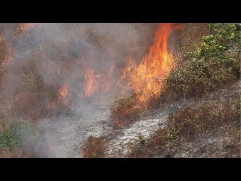
NASA and NOAA Take to the Air to Chase Smoke
843 Views0 Comments0 Likes
NASA, NOAA and university partners are taking to the skies, and the ground, to chase smoke from fires burning across the United States.
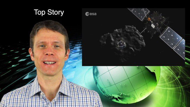
2_5 Earth Imaging Broadcast (Rosetta Mission, QuickBird Retires and More)
4.41K Views0 Comments0 Likes
This Earth Imaging-themed GeoSpatial Stream broadcast discusses the Rosetta Space Mission that landed on a comet; a new instrument on the International Space Station; a new UAS endurance record; DigitalGlobe's retiring of its QuickBird satellite after 13 years; industry news from Scene Sharp Technologies, Sokkia, NGA, BAE Systems and Google Earth Pro; new videos posted to GeoSpatial Stream; and more.
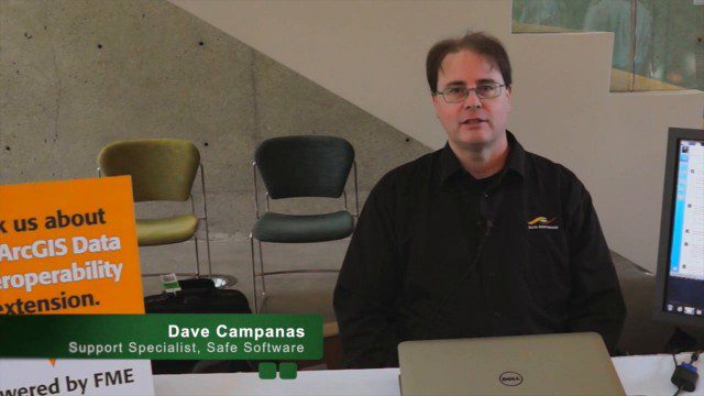
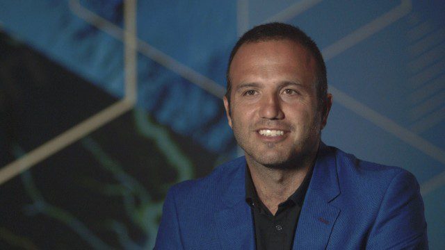
Safe Software Bringing Data Translation to Geodesign
3.31K Views0 Comments0 Likes
Safe Software is the maker of FME and a global leader in spatial data transformation technology. On behalf of V1 Media, Informed Infrastructure and GeoSpatial Stream, Todd Danielson interviewed Dave Campanas, software support specialist at Safe Software, at the Geodesign Summit 2015 in Redlands, Calif.
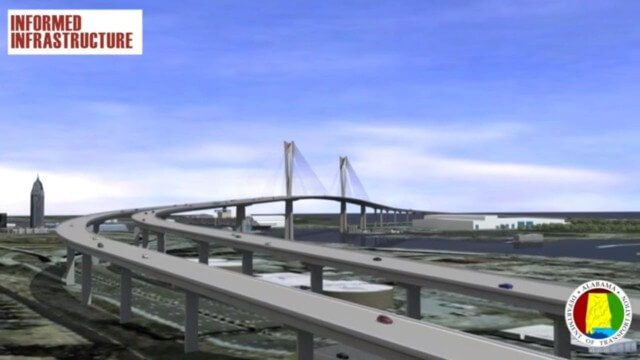
Mobile River Bridge Animation
3.62K Views0 Comments0 Likes
The visualization team at Alabama DOT created a 3D conceptual model of the entire proposed Mobile River Bridge and Bayway project with realistic renderings and animations of the driving experience as well as a 360-degree flyover to provide context from all angles around the city. This work did a great deal to achieve public buy-in, and the project is being fast tracked given the positive impact it will have on the area.
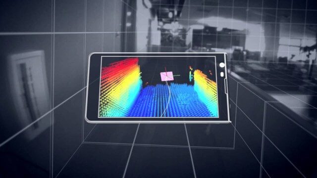
Google’s Project Tango
2.62K Views0 Comments0 Likes
Project Tango is an exploration into giving mobile devices a human-scale understanding of space and motion.
Esri Business Summit: Axel Bedikyan, Cirque du Soleil
1.36K Views0 Comments0 Likes
Cirque du Soleil turned to ArcGIS when they needed to drive business results. This vibrant company known for its high quality entertainment feels the same care and attention to detail they put into their business is mirrored in Esri’s solutions.
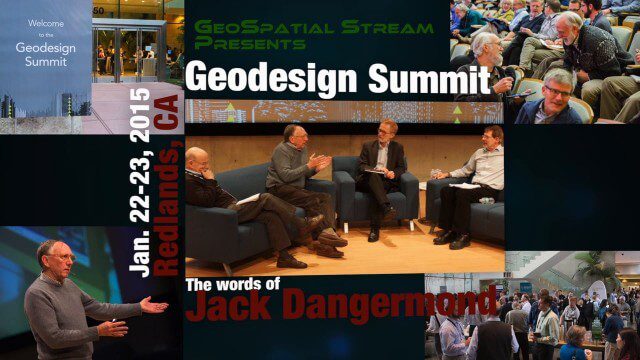
Geodesign Summit 2015: The Words of Jack Dangermond
4.01K Views0 Comments0 Likes
The Geodesign Summit 2015 featured a variety of speakers and topics focused on designing a better and smarter built environment. This video produced by GeoSpatial Stream highlights key thoughts and ideas from Esri President and Founder Jack Dangermond.
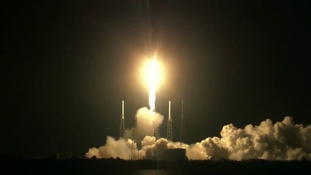
SpaceX CRS-15 Liftoff
978 Views0 Comments0 Likes
The SpaceX CRS-15 Falcon 9 rocket lifts off from Space Launch Complex 40 at Cape Canaveral Air Force Station, sending a Dragon spacecraft on the company's 15th commercial resupply services mission to the International Space Station.
Unleashing the Power of Earth Observations
1.72K Views0 Comments0 Likes
What do we see when we look at the Earth, and what do these observations mean for the years ahead? Barbara Ryan, secretariat director of the Intergovernmental Group on Earth Observations (GEO), discusses this Geneva-based, voluntary partnership of governments and organizations dedicated to coordinated, comprehensive, and sustained Earth observations and information — sharing what scientific observers worldwide are learning about the state and health of planet Earth.
A Revolution in the Value of Remote Sensing
3.50K Views0 Comments0 Likes
The V1 Video team interviewed Bill Gattle, President of Space and Intelligence at Harris Corp., at the 32nd Space Symposium held April 11-14, 2016, in Colorado Springs, Colo. He discusses the worldwide value transformation seen in remote sensing, the company's doubling in size with its acquisition of Exelis and the efforts to make that an effective transition, and the growing importance of the GEOINT space.


