
tdanielson / Added Videos

Fully Integrated RiCOPTER UAV in Flight
3.19K Views0 Comments0 Likes
RiCOPTER is a high-performance UAV which can be equipped with the RIEGL VUX-1 survey-grade LiDAR sensor to offer a fully integrated turnkey solution and marks the first complete UAS LiDAR solution from one manufacturer.
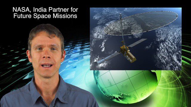
10_16 Asia-Pacific Broadcast (Tsunami Preparedness, NASA/India Partnerships and More)
4.77K Views0 Comments0 Likes
This Asia-Pacific-focused GeoSpatial Stream broadcast discusses several reports indicating that tsunami preparedness is improving in the region; a space-mission partnership between NASA and India's ISRO; the first images from China's Gaofen-2; a video from the University of South Australia's Global Sensor Network; industry news from MDA Information Systems, Esri, Xiaomi, Careland, Innovyze and Nobel Systems; and more.

Make It Wearable Finalists: Meet Team Nixie
2.32K Views0 Comments0 Likes
Team Nixie (http://flynixie.com) is developing the first wearable drone camera, which can be worn around your wrist. The team will be presenting their prototype for the Intel Make It Wearable Challenge Finale on November 3, 2014 in San Francisco. Learn more about Make It Wearable and follow the race to the finish line at http://makeit.intel.com. To find out more about Team Nixie, see their work at http://flynixie.com or follow them on https://www.facebook.com/flynixie.
The Power of Geodesign
9.82K Views0 Comments0 Likes
GeoSpatial Stream created this fast-paced music video that quickly summarizes the power of geodesign, based on footage and ideas found at Esri's annual Geodesign Summit.
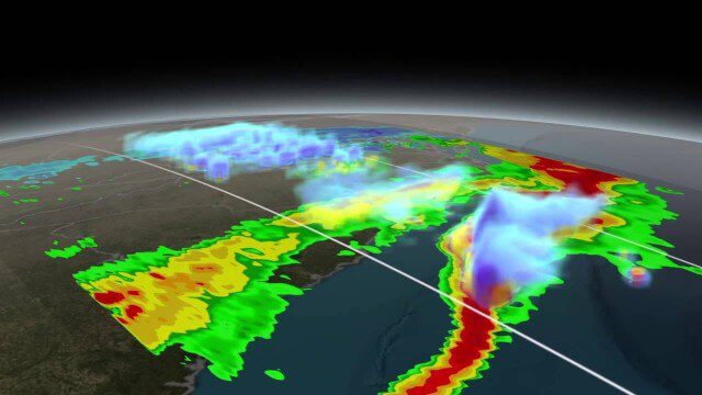
NASA Scanning a Snow Storm
2.30K Views0 Comments0 Likes
On March 17, 2014, the Global Precipitation Measurement (GPM) mission's Core Observatory flew over the East coast's last snow storm of the 2013-2014 winter season.

10_9 Earth Imaging Broadcast (Land-Cover Change, Seafloor Maps and More)
4.67K Views0 Comments0 Likes
This GeoSpatial Stream broadcast discusses Earth Imaging news, including new USGS land-cover change models; new maps of the world's seafloor; NASA's Global Precipitation Measurement satellite; industry news from Rapidlasso, Sewall and Optech; an imaging drone from Intel's wearable technology contest; and more.
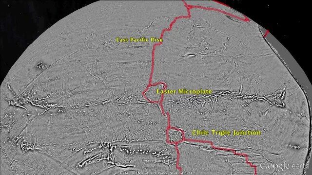
Draining the Ocean Basins with CryoSat-2
2.28K Views0 Comments0 Likes
This is the supplementary video for the scientific article "New global marine gravity model from CryoSat-2 and Jason-1 reveals buried tectonic structure". The full paper is available at: sciencemag.org/content/346/6205/65
The Global Sensor Network – University of South Australia
2.47K Views0 Comments0 Likes
Australia has a combined land and sea territory of more than 8 million square kilometers. Yet most of this is currently out of the reach of affordable communication. Now the University of South Australia's Institute for Telecommunications Research has turned this on its head, with the development of the Global Sensor Network. The Global Sensor Network is an innovative signal processing system which provides low cost, two-way, simultaeneous satellite communications to multiple users.
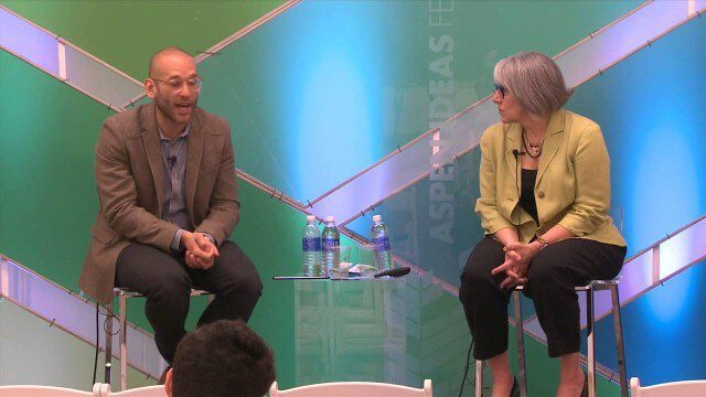
Unleashing the Power of Earth Observations
1.72K Views0 Comments0 Likes
What do we see when we look at the Earth, and what do these observations mean for the years ahead? Barbara Ryan, secretariat director of the Intergovernmental Group on Earth Observations (GEO), discusses this Geneva-based, voluntary partnership of governments and organizations dedicated to coordinated, comprehensive, and sustained Earth observations and information — sharing what scientific observers worldwide are learning about the state and health of planet Earth.
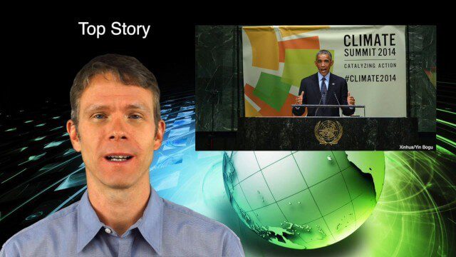
10_2 Climate Change Broadcast (UN Climate Summit, Tsunami Evacuation Maps and More)
5.06K Views0 Comments0 Likes
This GeoSpatial Stream broadcast discusses news and video from the UN Climate Summit, including President Obama announcing new geospatial tools and pledges to restore forest land; USGS developing a pedestrian tsunami-evacuation tool; industry news from exactEarth, Bentley Systems and Innovyze; a clip from the keynote address at the recent GeCo in the Rockies conference; and more.


