
tdanielson / Added Videos
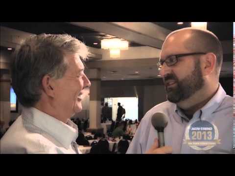
The Farm Forum Event 2013: Matt Ball Interview
2.05K Views0 Comments0 Likes
Matt Ball is the founder and editor of Vector1 Media, with publications Sensors & Systems, Informed Infrastructure and Asian Surveying & Mapping. He has been promoting the application of sensors, systems, models and simulation for the better stewardship of our planet for the past 15 years. The first ten years of that span were as editor of GeoWorld magazine and show manager of the GeoTec Event, Canada's largest GIS conference.
Fujisawa Sustainable Smart Town Goes Into Full-Scale Operation
3.30K Views0 Comments0 Likes
Fujisawa SST begins full-scale operation, following the completion of “Fujisawa SST SQUARE,” its core facility.

National Forest Monitoring and Assessment Program
1.79K Views0 Comments0 Likes
The National Forest Monitoring and Assessment program.
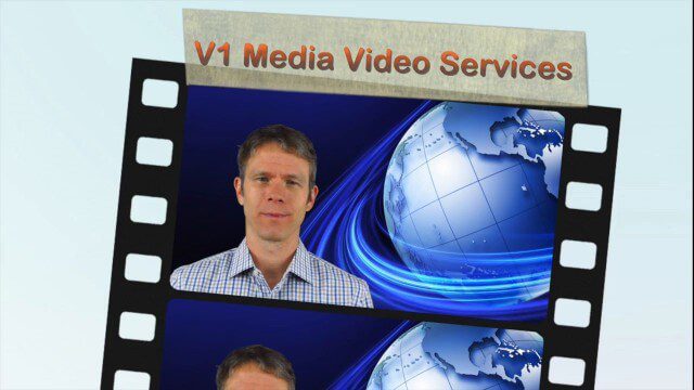
V1 Media Video Services
4.48K Views0 Comments0 Likes
This video describes V1 Media's professional and inexpensive video services and how they can help your business succeed. It provides samples of video interviews, product and service commercials, event recaps and promotions, project showcases, and more.
V1 Media News Broadcast Sponsorship
5.50K Views0 Comments0 Likes
This video describes the capabilities and benefits of sponsoring V1 Media video news broadcasts.
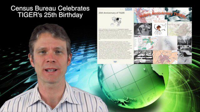
12_4 TIGER Broadcast (Database Milestones, People to Pixels and More)
3.57K Views0 Comments0 Likes
This GeoSpatial Stream broadcast discusses "People to Pixels" remote-sensing techniques that won a major award; the 25th anniversary of the U.S. Census Bureau's TIGER database; industry news from Esri, SmarterBetterCities, TomTom, Fleetlogic and ThinkGeo; clips from an interview with Greg Bentley, CEO of Bentley Systems; information about an upcoming Webcast on Structural Steel Fabrication; and more.
Environment Prize-Winner Uses Satellites to Reveal Human Impact
2.19K Views0 Comments0 Likes
Eric Lambin, the winner of the 2014 Volvo Environment Prize is a remote sensing pioneer using satellite images and advanced data collection to analyse land use and the influence of humans on the planet. Watch the video on Eric Lambin’s research and about the Ecology of Happiness. Read more about the Volvo Environment Prize at: http://www.environment-prize.com/
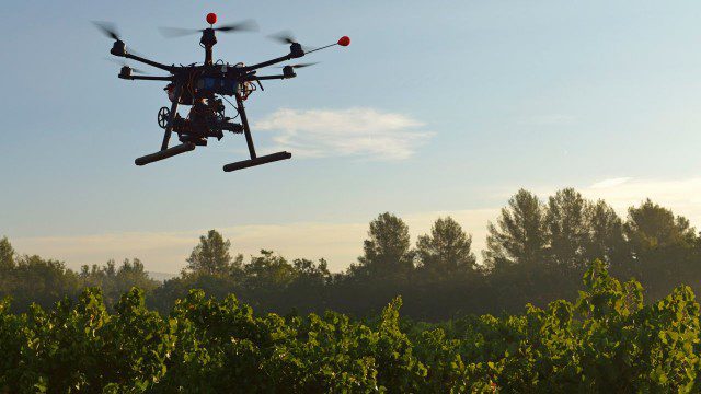
Drones for Good (HP)
1.31K Views0 Comments0 Likes
Most people associate drones with the military - an invasive eagle eye hovering from above. What many people don't realize, however, is the tremendous good drones can do. Information from drones can be used for valuable data collection, telling us things we can't see from the ground and helping countries and communities after natural disasters. A drone can spot structural damage, road blocks, and even save human lives. To learn more about using drones for social good and how technology is revolutionizing all means of transportation.
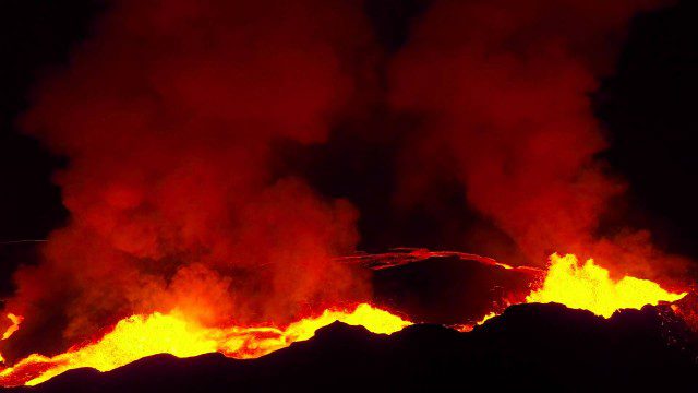
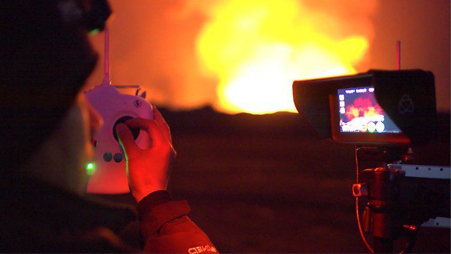
Drones Capture Images of Erupting Iceland Volcano, Part 2
1.57K Views0 Comments0 Likes
A companion piece to the first DJI Feat, which takes viewers on a journey close to the active lava eruptions of the Bardarbunga volcanic system in remote Iceland. Footage was captured with DJI Phantom 2 quadcopters using Lightbridge for wireless, high-definition remote video.
Drones Capture Images of Erupting Iceland Volcano, Part 1
1.38K Views0 Comments0 Likes
DJI's first video in a series called "DJI Feats" takes you to the remote wilderness of an erupting Icelandic volcano, where Phantom 2 quadcopters are used to capture viewpoints of an exploding magma caldera too dangerous to be approached by manned aircraft.


