
tdanielson / Added Videos
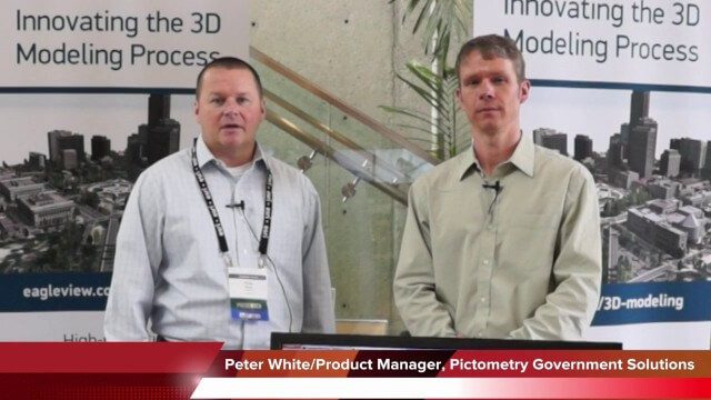
Pictometry/EagleView Interview at GeoDesign Summit
3.20K Views0 Comments0 Likes
Todd Danielson interviews Peter White, product manager and business analyst for Pictometry. They discuss how oblique imagery can help create better 3-D models as well as the future possibilities of a potential company acquisition.

7_16 Asia Pacific Broadcast (New Satellites, Drones Catching Tax Cheats and More)
3.20K Views0 Comments0 Likes
This Asia Pacific-themed GeoSpatial Stream broadcast discusses new Asian geospatial satellites from India, China and Japan; V1 Media's upcoming Webcast on Earthquake safety; laser scanning to map and preserve Japanese castles and Malaysian caves; drones used in Indonesia to catch tax cheats; industry news from MDA and Google; thoughts on digital preservation; and more.

Jon Skiffington Interview (LizardTech)
3.19K Views0 Comments0 Likes
Todd Danielson interviews Jon Skiffington, Director, Product Management, LizardTech, at the GEOINT Symposium in Tampa, Florida. They discuss LizardTech's MrSID product and how it compresses imagery and other large datasets, GEOINT imagery users, GeoExpress and Express Server 9, and the company Web site.

Fully Integrated RiCOPTER UAV in Flight
3.19K Views0 Comments0 Likes
RiCOPTER is a high-performance UAV which can be equipped with the RIEGL VUX-1 survey-grade LiDAR sensor to offer a fully integrated turnkey solution and marks the first complete UAS LiDAR solution from one manufacturer.

Smart Mapping from Esri
3.18K Views0 Comments0 Likes
Smart Mapping is an exciting new capability in ArcGIS Online that will change how you make maps.

Conservation Planning in the Face of Climate Change
3.18K Views0 Comments0 Likes
The V1 Video team interviewed Sam Veloz, Climate Adaptation Group Director for Point Blue Conservation Science. He discussed several items related to monitoring the environment, including finding the proper scale, how the world and its sensing is changing, scenario planning, and his progress report for environmental monitoring and its successes and failures.
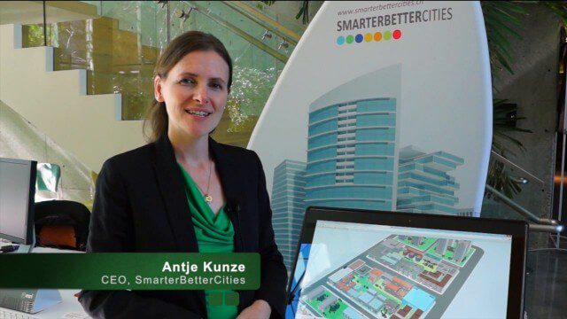
SmarterBetterCities Returns to Geodesign Summit
3.18K Views0 Comments0 Likes
SmarterBetterCities uses innovative Web-based tools, such as Cloud Cities and 3D Cities Libraries, that allow users to create 3D content and scenarios for urban planning. On behalf of V1 Media, Informed Infrastructure and GeoSpatial Stream, Todd Danielson interviewed Antje Kunze, CEO of SmarterBetterCities, at the Geodesign Summit 2015 in Redlands, Calif.
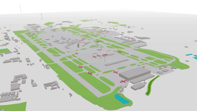
Live Planes in ViziCities using Plane Finder
3.17K Views0 Comments0 Likes
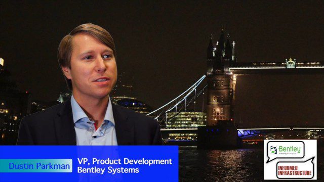
Factoring in Project Costs During Design
3.17K Views0 Comments0 Likes
The V1 Video team interviewed Dustin Parkman at the 2015 Bentley Year in Infrastructure Conference in London in early November. Parkman, vice president of product development at Bentley Systems for their road, rail and site products, spoke about the company's new OpenRoads ConceptStation software with a focus on some of the unique benefits.
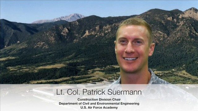
USAFA Reality Capture Showcase: Lt. Col. Patrick Suermann
3.17K Views0 Comments0 Likes
V1 Media was at the U.S. Air Force Academy (USAFA) Reality Capture Showcase at the Department of Civil and Environmental Engineering, interviewing Lt. Col. Patrick Suermann, Construction Division Chair.


