
tdanielson / Added Videos
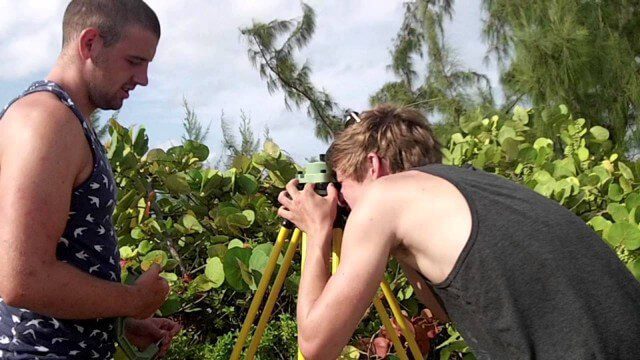
Surveying, Mapping and GIS Expedition to British Virgin Islands
1.81K Views0 Comments0 Likes
Surveying, Mapping and GIS Expedition to British Virgin Islands
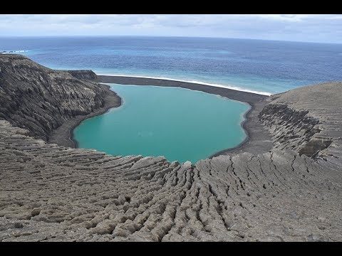
The Birth of a New Island
3.59K Views0 Comments0 Likes
The newly formed Tongan island, unofficially known as Hunga Tonga-Hunga Ha'apai after its neighbors, was initially projected to last a few months. Now it has a 6- to 30-year lease on life, according to a new NASA study.
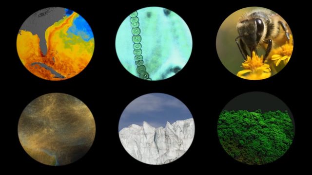
NASA Explores Earth’s Connections
175 Views0 Comments0 Likes
NASA explores the connections of Earth systems and its ability to observe them in a changing world, highlighting the links between dust transport, vegetation, water quality, conservation and human health, the cryosphere, and disasters.

PortMaps – Kaarten en Havenbedrijf Rotterdam
3.30K Views0 Comments0 Likes
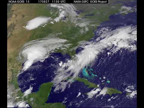
Satellite Animation Shows Harvey Moving into Gulf
5.15K Views0 Comments0 Likes
This animation of NOAA's GOES East satellite imagery from 9:15 a.m. CDT, Aug. 26, 2017, to 9:30 a.m. CDT, Aug. 28, 2017, shows Hurricane Harvey transitioning to a tropical storm at 1 p.m. CDT on Aug. 26, 2017, and slowly emerging in the Gulf of Mexico on Aug. 28.

2015 Geodesign Summit Rapidly Approaching, Highlights Discussed
5.36K Views0 Comments0 Likes
Shannon McElvaney, Esri's Community Development Manager, notes some of the speaker and event highlights for the upcoming 2015 Geodesign Summit to be held Jan. 22-23, 2015, in Redlands, Calif. This "transdisciplinary" event has a place for anyone looking to help create a better world through informed, collaborative design.
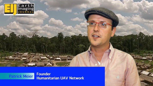
Using Drones to Provide Insight for Disaster Recovery
2.23K Views0 Comments0 Likes
The V1 Video team spoke to Patrick Meier at the Commercial UAV Expo. Meier is a thought leader on humanitarian technology and innovation as well as founder of the Humanitarian UAV Network (UAViators), which has worked in the Philippines to help in the recovery of Cyclone Pam and in Nepal for response to the recent earthquake. We talked about the growing utility of UAVs as well as the use of automation and crowdsourcing to reduce the time and burden of analysis.
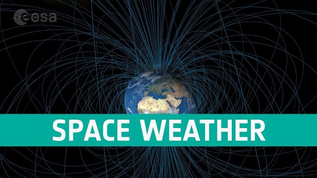
Space Weather Could Be Worse in the North
381 Views0 Comments0 Likes
Instead of a symmetrical distribution of energy between the northern and southern hemispheres through the year, scientists have used data from ESA’s Swarm mission, to discover that electromagnetic energy is preferentially channelled to the northern hemisphere.

The Farm Forum Event 2013: Matt Ball Interview
2.05K Views0 Comments0 Likes
Matt Ball is the founder and editor of Vector1 Media, with publications Sensors & Systems, Informed Infrastructure and Asian Surveying & Mapping. He has been promoting the application of sensors, systems, models and simulation for the better stewardship of our planet for the past 15 years. The first ten years of that span were as editor of GeoWorld magazine and show manager of the GeoTec Event, Canada's largest GIS conference.
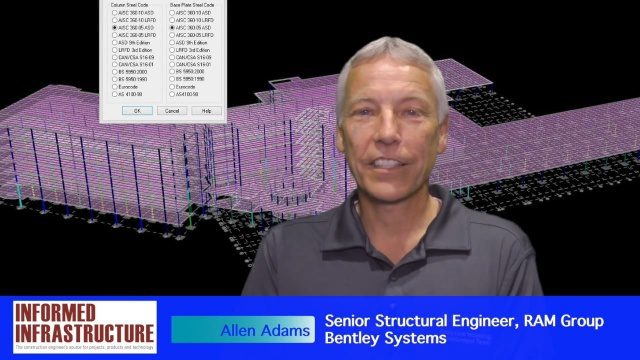
The Challenges and Benefits of Interoperability
4.78K Views0 Comments0 Likes
The V1 Video team interviewed Allen Adams, Senior Structural Engineer, RAM Group, Bentley Systems, at the 2016 NASCC: The Steel Conference, held April 13-15 in Orlando, Fla. He discusses the major challenges of interoperability in the infrastructure industry, Bentley Systems' approach to these difficulties, what it looks like when data isn't open to others within an organization, and how Bentley software saves its clients time and money.


