
tdanielson / Added Videos
Rainwater Modeling in Rotterdam
1.69K Views0 Comments0 Likes
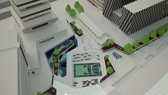
On the Benthemsquare in Rotterdam the worlds first water square will be realised, an attractive city plaza that offers space for water, sports and greenery. The water square combines water storage with the improvement of the quality of urban public space. The animation was made by Studio Analoog.
NASA | Landsat Tracks Urban Change and Flood Risk
1.77K Views0 Comments0 Likes
NASA | Landsat Tracks Urban Change and Flood Risk
4_8 Precision-Agriculture Broadcast (Food and Fluorescence, Sentinel Launch, and More)
4.05K Views0 Comments0 Likes
This GeoSpatial Stream broadcast discusses how food production can be tracked via satellites; the launch of Sentinel-1A; maps of extractive industries and agriculture in Peru and Ghana; a satellite competition; industry news from URISA, Ordnance Survey, Open Geospatial Consortium and Leica Geosystems; and more.
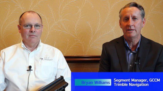
Trimble Announces Partnership with DotProduct
2.56K Views0 Comments0 Likes
Bryan Williams, Segment Manager, GCCM, Trimble Navigation, joined Tom Greaves, Chief Marketing Officer, DotProduct, to discuss a recent partnership between the two companies. In an interview with V1 Media's Todd Danielson at SPAR International, which was held March 30-April 2, 2015, in Houston, Texas, they discussed DotProduct and its products as well as how they fit into Trimble's plans. Williams also discusses vertical construction and additional new Trimble technologies.
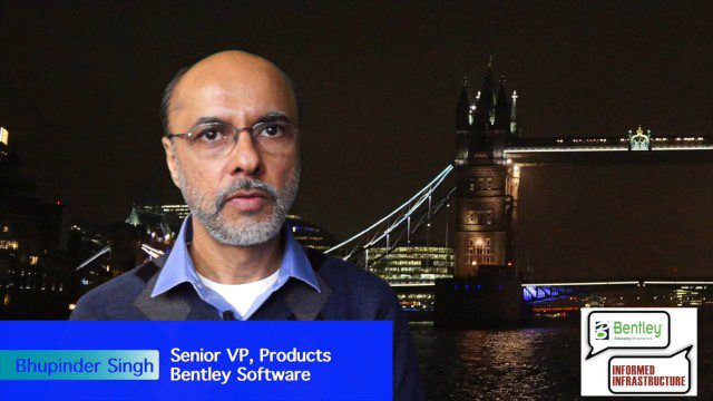
The Bentley Mission and Tools to Get There
3.78K Views0 Comments0 Likes
The V1 Video team interviewed Bhupinder Singh at the 2015 Bentley Year in Infrastructure Conference in London in early November. Singh, senior vice president of products for Bentley Software, spoke about how Bentley solutions are geared to create better-performing assets, its engineering content-management platform and details about Bentley Connect.
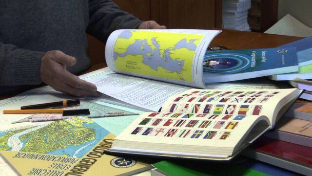
Marina Militare – Hydrography explained to kids
1.69K Views0 Comments0 Likes
The Navy Hydrographic Institute is the Italian Cartographic Centre designated to the production of official national nautical documents.
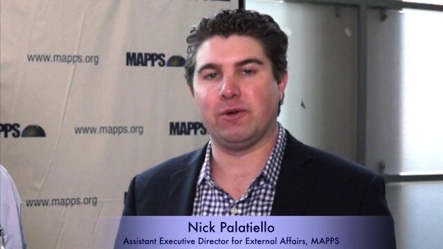
Nick Palatiello Interview
3.43K Views0 Comments0 Likes
Matt Ball interviews Nick Palatiello, Assistant Executive Director for External Affairs, MAPPS. They discuss the lobbying organization's history, agenda and how it works with government officials to advocate for the geospatial profession.

Conservation Planning in the Face of Climate Change
3.18K Views0 Comments0 Likes
The V1 Video team interviewed Sam Veloz, Climate Adaptation Group Director for Point Blue Conservation Science. He discussed several items related to monitoring the environment, including finding the proper scale, how the world and its sensing is changing, scenario planning, and his progress report for environmental monitoring and its successes and failures.
Weather Versus Climate Change
2.05K Views0 Comments0 Likes
Neil deGrasse Tyson breaks down the difference between weather and climate change.
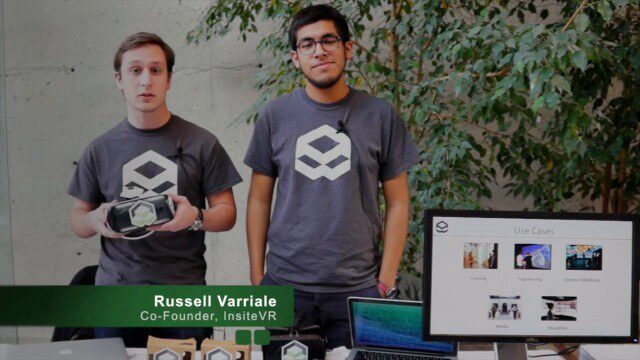
InsiteVR Takes Virtual Reality Beyond Gaming, into Design
9.03K Views0 Comments0 Likes
InsiteVR helps viewers better understand a variety of designs by experiencing them from a realistic perspective. On behalf of V1 Media, Informed Infrastructure and GeoSpatial Stream, Todd Danielson interviewed Angel Say and Russell Varriale, co-founders of InsiteVR, at the Geodesign Summit 2015 in Redlands, Calif.


