
tdanielson / Added Videos

Indicators for sustainable cities — how do you score?
1.40K Views0 Comments0 Likes
By 2050, 70% of people will live in cities... are you ready? City indicators help city managers, politicians, researchers and other professionals to focus on what's important and put in place policies for more livable, tolerant, sustainable, economically attractive and prosperous cities.
11_30 Bentley London Broadcast (Event Highlights, Commentary and More)
2.98K Views0 Comments0 Likes
This Infrastructure-themed GeoSpatial Stream broadcast reports from the Bentley Systems Year In Infrastructure 2015 event in London, presenting video highlights; special commentary and opinion; and top news from Bentley and the conference.
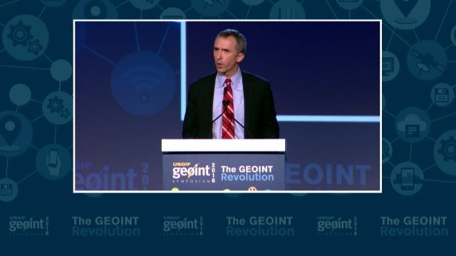
GEOINT Keynote: Marcel Lettre, Under Secretary of Defense for Intelligence
3.66K Views0 Comments0 Likes
The U.S. Geospatial Intelligence Foundation (USGIF) recorded the keynote speech of Marcel Lettre, Under Secretary of Defense for Intelligence, at the 2016 GEOINT Symposium on May 16, 2016, in Orlando, Fla.

RIEGL Creating 3D Data for Improved Disaster Response
2.09K Views0 Comments0 Likes
The V1 Video team interviewed James Van Rens, CEO of RIEGL USA, at the 2015 Esri User Conference in San Diego. We spoke at the 3D Mapping Forum, focusing on the need to map the shoreline for improved disaster response. The company also showcased its new RiCOPTER mapping drone.

5_22 Remote-Sensing Broadcast (Space Symposium, WorldView-3 and More)
6.32K Views0 Comments0 Likes
This GeoSpatial Stream broadcast covers a variety of remote-sensing topics, such as the recent Space Symposium in Colorado; a preview of DigitalGlobe's WorldView-3 satellite; a special report on micro-satellites; industry news from Airbus Defence and Space, BAE Systems, Teledyne, and NASA; and more.
GeCo in the Rockies Keynote Discusses Power of Words for Location
5.18K Views0 Comments0 Likes
Chris Sheldrick from what3words delivered the keynote address at the GeCo in the Rockies event held Sept. 22-26, 2014, in Grand Junction, Colo. Sheldrick talked about how short combinations of words (three exactly) could be used to pinpoint every location in the world to within nine square meters.

IMAGINiT Helps Clients through Entire Workflow
2.33K Views0 Comments0 Likes
Todd Danielson interviews Dan Chapek, Manager, Infrastructure Solutions Team, IMAGINiT, and Jeff Bowers, Consultant, Business Solutions, IMAGINiT, at the HxGN LIVE event in Las Vegas, Nevada. They discuss how to integrate scanning data into design applications to create client deliverables, how the company partners with Leica Geosystems and Autodesk products, "field to finish" workflows, and more.

Hawk Attacks a Drone
2.20K Views0 Comments0 Likes
A hawk is recorded attacking (and defeating) an aerial drone.
Marina Militare – Hydrography explained to kids
1.69K Views0 Comments0 Likes
The Navy Hydrographic Institute is the Italian Cartographic Centre designated to the production of official national nautical documents.
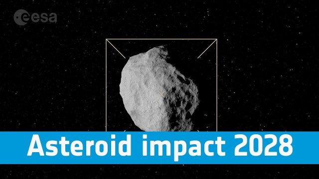
Asteroid Impact 2028: Protecting Our Planet
800 Views0 Comments0 Likes
Find out more about how we are preparing to protect our pale blue dot, its inhabitants and the vital satellite systems on which we have become so dependent.


