
tdanielson / Added Videos
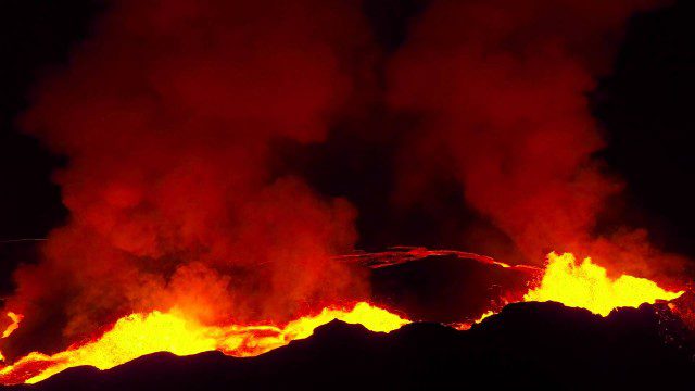
Drones Capture Images of Erupting Iceland Volcano, Part 2
1.57K Views0 Comments0 Likes
A companion piece to the first DJI Feat, which takes viewers on a journey close to the active lava eruptions of the Bardarbunga volcanic system in remote Iceland. Footage was captured with DJI Phantom 2 quadcopters using Lightbridge for wireless, high-definition remote video.
QuestUAV Parachute Landing
4.09K Views0 Comments0 Likes
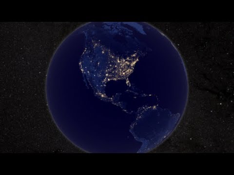
NASA Earth at Night
2.56K Views0 Comments0 Likes
In daylight our big blue marble is all land, oceans and clouds. But the night - is electric. This view of Earth at night is a cloud-free view from space as acquired by the Suomi National Polar-orbiting Partnership Satellite (Suomi NPP).

Jack Dangermond Addresses Climate Change and the Importance of GeoDesign (3 of 4)
9.45K Views0 Comments0 Likes
In the third of four installments, Todd Danielson interviews Jack Dangermond, President and Founder, Esri, at the 2014 Esri User Conference in San Diego. Jack talks about the Climate Resilience App Challenge, meeting the president and working on climate issues, and the importance of GeoDesign and its growing acceptance and use.
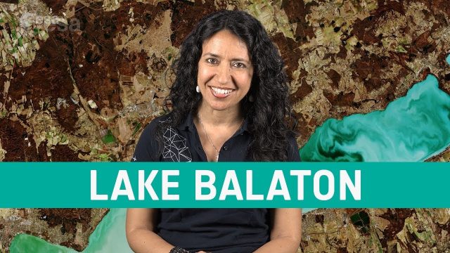
Earth from Space: Lake Balaton
686 Views0 Comments0 Likes
In this week's edition of the Earth from Space program, the Copernicus Sentinel-2 mission takes us over the largest lake in central Europe: Lake Balaton in Hungary.

Urban Heat Risk Explorer
3.58K Views0 Comments0 Likes
Helping cities prepare for, respond to, and recover from extreme heat events, the app provides users with a better understanding of heat risks in cities and communicates with users on ways they can protect themselves during extreme heat events.
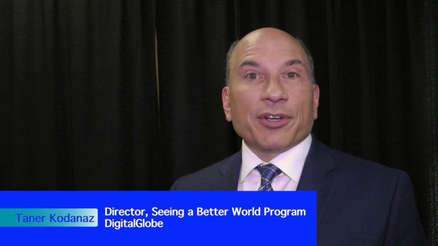
DigitalGlobe’s Seeing a Better World Program Focuses on Outcomes
3.32K Views0 Comments0 Likes
DigitalGlobe has expanded upon its theme of "Seeing a Better World," with a new program that focuses on themes aligned to the United Nations sustainable development objectives. Speaking with V1 Media, Taner Kodanaz, Director of DigitalGlobe's Seeing a Better World Program, describes how the company is leveraging its own imagery to provide greater context and outcome-oriented solutions around food and nutrition security, infrastructure development, sustainability, and human rights.
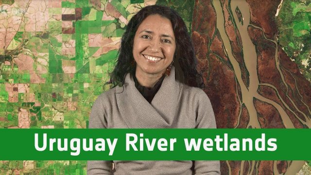
Earth from Space: Uruguay River Wetlands
1.07K Views0 Comments0 Likes
In this week's edition of the Earth from Space program, the Copernicus Sentinel-2B satellite takes us along the lower reaches of the Uruguay River.
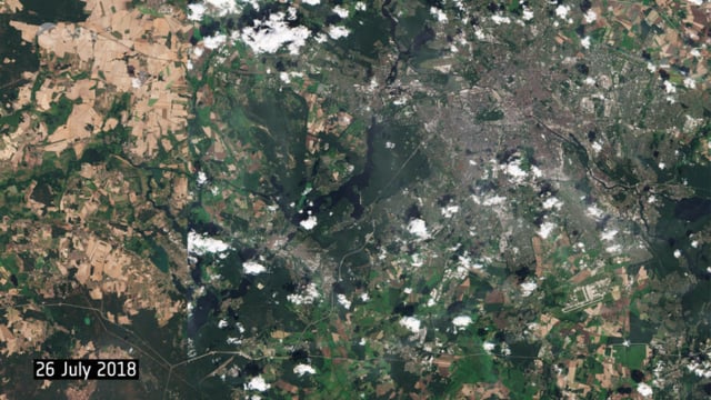
Berlin Battles Heatwave
947 Views0 Comments0 Likes
This year’s heatwave continues to sweep across Europe, with wildfires reported across the continent, as the current heat scorches land and vegetation in countries such as the UK, Sweden and Greece. These two images from the Copernicus Sentinel-2 mission show agricultural fields and land around the capital of Germany, Berlin.
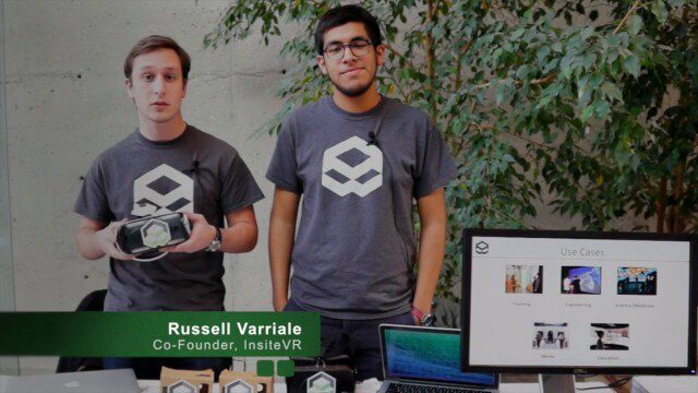
InsiteVR Takes Virtual Reality Beyond Gaming, into Design
9.03K Views0 Comments0 Likes
InsiteVR helps viewers better understand a variety of designs by experiencing them from a realistic perspective. On behalf of V1 Media, Informed Infrastructure and GeoSpatial Stream, Todd Danielson interviewed Angel Say and Russell Varriale, co-founders of InsiteVR, at the Geodesign Summit 2015 in Redlands, Calif.


